


Only logged in customers who have purchased this product may leave a review.
Products
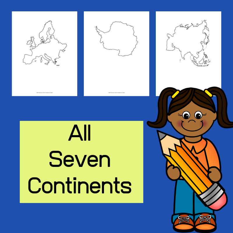
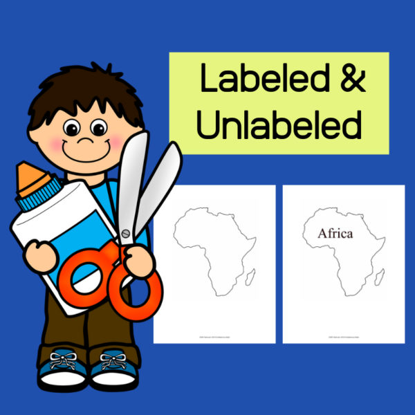
Continent Outlines for Student Work and Projects
$3.00
This resource, Continent Outlines for Student Work and Projects, contains 14 pages of continent outlines (7 labeled, 7 unlabeled). This is not clipart but ready to use outlines, just print and give to students to use however they need to!
Related products
-
 $3.50Buy Now
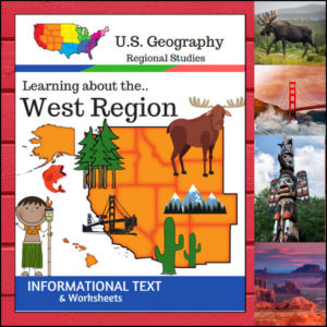
This U.S. Geography resource is centered on the West Region and contains textbook style informational text, worksheets and answer keys. Students will enjoy learning about this region studying the categories of Land and Water, Climate, Products and Natural Resources, Landmarks, Culture and Food. The informational text worksheets begin with an anticipation activity section followed by questions that students will answer about each category. The last is a fun ‘unscramble’ the state names worksheet. (Pages: 15)
⭐ This product is included in a $$$ SAVING BUNDLE: Regions of the U.S.A. | Geography Bundle
-
$2.00Buy Now
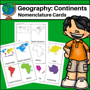
This resource, Continents – World Geography Nomenclature Cards, will help your students learn the shape of each of the seven continents!
Includes 2 sets:
– Color set for a Social Studies / Geography Center or for use on an interactive bulletin board
– B/W set to give each student there own ‘flash’ nomenclature cards -
$2.00Buy Now
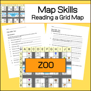
Students will practice reading a grid map and a map key with these zoo themed worksheets. Students will be given a grid map of a zoo and asked several questions requiring them read and navigate throughout the map. There are also two additional activities to extend learning (through writing and creative design). Answer Key included.
-
$5.00Buy Now
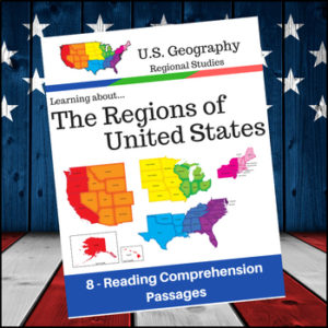
Help students expand their understanding of the different regions of the United States while learning about USA’s climate, geography, history, economy and culture.
Included sections (text and comprehension questions):
- 1. Regions of the United States
- 2. The Northeast and Midwest Regions
- 3. The South and West Regions
- 4. Learning More about the New England Subregion of the Northeast
- 5. Learning more about the Middle Atlantic Subregion of the Northeast
- 6. Learning more about the South
- 7. Learning more about the Midwest
- 8. Learning more about the West Region of the U.S
Reviews
There are no reviews yet.