Category: Maps
Showing all 5 results
-
 $8.00Buy Now
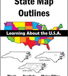
150 maps included in this download!
Each state has 3 pages / maps:
* Outline of the state
* Map showing the capital
* Map showing the major cities -
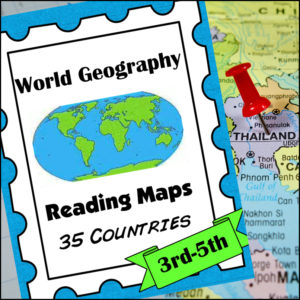
 $8.00Buy NowHelp students master an important life skill, map reading, with this geography resource! It includes maps of 35 countries from around the world and students will practice identifying direction, using a scale of miles/km, reading & using a map key, finding places and determining specific information from given information, calculate distance and more!
This product is designed for 3th-5th grades but can be a good edition for 6th-8th graders who need extra practicing reading maps! -
$2.50Buy Now
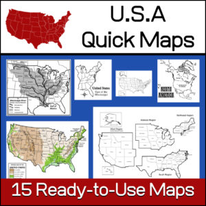
15 ready-to-use maps of the United States. Use for class projects, to create lessons or presentations.
Non-commercial use only.Includes:
– 2 maps showing the US within North America
– US maps (with states names and unnamed)
– US regional maps (with states names and unnamed)
– US east of the Mississippi (with states names and unnamed)
– US west of the Mississippi (with states names and unnamed)
– Physical Maps of the US (color and b/w)
– The Mississippi River with tributaries (states named) -
$5.00Buy Now
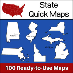
100 U.S. State outline maps – 2 maps for each state on one page:
- – Completely blank outline map
- – An outline with the state name and capital
Maps can be used for projects, bulletin boards, lesson plans and presentations.
Non-commercial use only.
&url=https://myteachinglibrary.com/product/u-s-state-map-outlines-usa-geography/&media=https://myteachinglibrary.com/wp-content/uploads/2019/08/wy-459-f.jpg)