
Category: Study Helps
Showing all 9 resultsSorted by latest
-
 $2.00Add to Cart
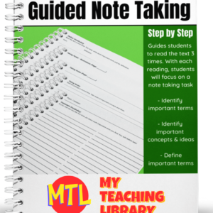
Help students dive into new text and get the most from their reading by using Guided Note Taking.
This resource will walk students through a process of reading the text 3 times.
Each time they read, they will be asked to perform a specific task:
- – The first time they read, students are asked to identify and write down important terms.
- – During the second reading, they are asked to identify important concepts and ideas. For this task, they are given lined paper as well as a page for illustrations.
- – During the third reading, students are asked to define the important terms they identified during their first reading.
This product can be used for any subject and used again and again!
-
$3.00Add to Cart
This resource is a complete transcript of the United States Constitution including amendments 1 – 27. It is b/w (print and go) and in 23 pages in length.
-
$1.00Add to Cart
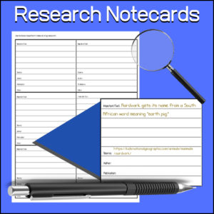
A student tool to aid them in research. Students will use to keep notes while researching. Each card has a place to record:
- -Important fact
- -Source
- -Author
- -Publication
- -Other
Can be used for any subject or research project.
-
$6.00Add to Cart
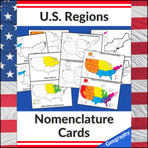
Mastering the map has never been more visual! This set of 20 professional nomenclature cards is the perfect foundational tool for any U.S. geography unit. Based on the 4 regions as defined by the U.S. Census Bureau (Northeast, Midwest, South, and West), these cards provide a clear, structured way for students to visualize how the United States is organized.
From full-color coded keys to black-and-white standalone regional maps, this versatile set helps students transition from “the big picture” to specific regional details with ease.
🧠 The “How” and “Why” (Educational Benefits)
Why use nomenclature cards for geography? It’s all about spatial recognition and scaffolded learning:
- Visual Discrimination: By seeing a region highlighted in color against a grayscale map of the whole U.S., students naturally learn exactly where that region sits in relation to the rest of the country. 📍
- Scaffolded Difficulty: Start with the cards that include state names for guided learning, then transition to the name-free cards to challenge their memory. 🎓
- Standards-Aligned: Because these follow the U.S. Census Bureau divisions, you can be confident your students are learning the most widely accepted geographic classifications used in social studies. ✅
- Versatility: The mix of color and black-and-white versions allows for high-impact visual aids or budget-friendly, student-ready worksheets.
🛠️ Ways to Use These
- Geography Centers: Laminate the color cards and use them as a “match the region” game or sorting activity. 🧩
- Interactive Notebooks: Print the black-and-white versions for students to color in, label, and glue into their social studies journals. 📓
- Flashcard Drills: Use the cards to quiz students on state locations within specific regions (e.g., “Which states are in the Midwest?”). ⚡
- Display: Create a stunning “Geography Wall” using the full-color coded keys as a reference point for students during independent work. 🖼️
🚀 Help Your Students Find Their Way!
Equip your geography explorers with the visual tools they need to master U.S. Geography. Add these US Regions Nomenclature Cards to your teaching toolkit today and watch their map-reading confidence soar! 🌟
UPGRADE and get this BUDNLE: Regions of the U.S.A. | Geography Bundle
-
$2.50Add to Cart
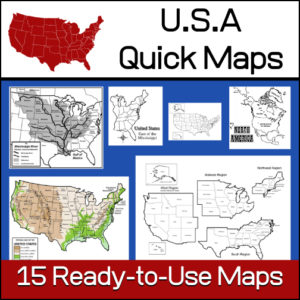
15 ready-to-use maps of the United States. Use for class projects, to create lessons or presentations.
Non-commercial use only.Includes:
– 2 maps showing the US within North America
– US maps (with states names and unnamed)
– US regional maps (with states names and unnamed)
– US east of the Mississippi (with states names and unnamed)
– US west of the Mississippi (with states names and unnamed)
– Physical Maps of the US (color and b/w)
– The Mississippi River with tributaries (states named) -
$1.50Add to Cart
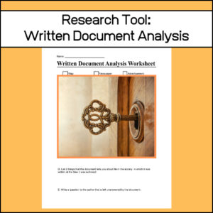
When doing research, students will find many written documents that could be appropriate to draw from. However, it is important to analyze each. Why? Analyzing historical documents requires students to identify the purpose, message, and audience of a text. This worksheets is a graphic organizer that will guide students through the analysis of these documents.
-
$1.00Add to Cart
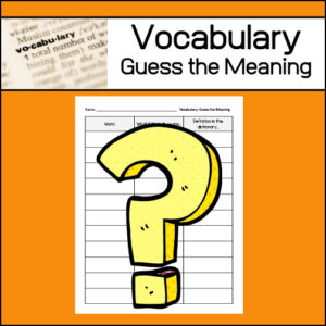
One strategy to help students learn unfamiliar vocabulary is called: Guess the meaning. This ready-to-use worksheet has been designed to be used again and again, throughout the school year as students encounter new vocabulary words. Students will write each ‘new‘ word, what they ‘think’ it means and then after looking up the word in a dictionary, they will write an actual definition.
-
$3.00Add to Cart
This layered research assignment gives students the opportunity to delve deeply into a topic and give students a variety of tasks from which to choose, all designed to guide and build a meaningful learning experience. Also, when using this layered approach, students will move through Bloom’s Taxonomy of knowledge, comprehension, application, analysis, synthesis and evaluation. (See below description for more details.)
Closely related resources:
-
$2.00Add to Cart
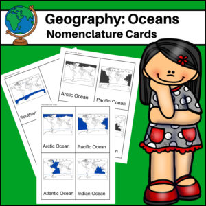
This resource, Oceans – World Geography Nomenclature Cards, will help your students learn the names and locations of the world’s 5 major oceans: Arctic, Atlantic, Pacific, Indian and Southern.