
Category: USA
Showing 1–20 of 84 resultsSorted by latest
-
 $50.00Add to Cart
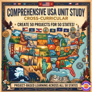
You get 50 projects for $1 each as you take your students on an unforgettable journey from sea to shining sea! 🗽
Are you looking for a way to teach U.S. Geography and History that actually sticks? Tired of dry textbooks and repetitive worksheets? The Comprehensive USA Unit Study is an interactive, cross-curricular, student-centered resource designed to transform your homeschool or classroom into a hub of discovery.
This isn’t just a packet of papers—it’s a complete investigative framework. Whether you are teaching a single second-grader, a multi-age group of middle schoolers or wanting a family style unit, this resource scales to fit your needs. Students will read, research, and report their way through all 50 states, producing 50 unique and beautiful projects along the way!
📝 What’s Inside This Massive Resource?
My Teaching Library has included everything you need to plan, execute, and evaluate a high-quality cross-curricular unit:
1. The Research & Reference Core 📚
-
A Comprehensive 50-State Guide: Detailed facts for every state, including history, capitals, nicknames, mottos, symbols, major industries, and landmarks.
-
Read Across America Literary Journey: Curated book suggestions for every single state to integrate literature into your lessons combining reading and geography!
-
Research Recording Pages: Structured notebooking pages to guide students through the investigative process.
2. Student Notebooking & Reporting ✍️
-
Wide Variety of Report Pages: From the history of the founding and lawmaking processes to local government, tourism, and economy.
-
State Symbol Spotlights: Dedicated pages for state birds, flowers, mammals, insects, rocks/minerals, and more.
-
Compare & Contrast: Use the included Venn diagrams to help students find similarities and differences between different states.
3. Maps, Flags, and Visual Aids 🎨
-
Full-Page Maps: Includes Color and B&W maps of the U.S., regional divisions, and individual state maps (blank, with capitals, and with major cities).
-
Artistic Templates: Full-page B&W images of all 50 state flags, flowers, and birds—perfect for coloring and report covers.
-
Lined State Maps: Unique templates for students to write summaries directly within the state borders, how fun!
4. Teacher Planning & Active Learning 🍎
-
“How-To” Planning Pages: Includes teacher assignment guides, a comprehensive supply list, and an evaluation rubric for easy grading.
-
Organizational Tools: Student cover pages, Table of Contents, and a reusable K-W-L chart.
-
Active Learning Games: Suggested games to keep students engaged and help them memorize state facts through play.
-
State Capital Bookmarks: A fun, functional way for students to use throughout the unit.
✨ Why You’ll Love It:
-
Multi-Age & Multi-Ability: Perfect for families homeschooling multiple children or teachers with diverse learners. Simply choose the reporting depth that fits the student’s level.
-
Cross-Curricular: Seamlessly blends Geography, History, Language Arts, Art, and Civics.
-
Student-Led: Empowers students to take ownership of their research and creativity.
-
Flexible: Use it as a full-year curriculum, a summer enrichment program, or a “State of the Week” supplement.
🚀 Ready to start your cross-country adventure?
Give your students the tools to become experts on the United States. From the rocky coasts of Maine to the tropical shores of Hawaii, the Comprehensive USA Unit Study makes history and geography come alive while seamlessly intertwining language arts, art, and civics!
Add to Cart, Download & Start Exploring & Creating Today! 🛒
-
-
Sale!Original price was: $34.00.$30.00Current price is: $30.00.Add to Cart
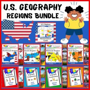
Ready to take your students on the ultimate American road trip? This U.S. Regions Geography Bundle is designed to transform “just another lesson” into an immersive, hands-on exploration of the four major regions: the Northeast, South, Midwest, and West. Gone are the days of staring at static maps! Through nomenclature cards, rich informational texts, and creative scrapbooking projects, your students will dive deep into the unique heartbeat of each region.
🧠 The “How” and “Why” (Educational Benefits)
Geography is more than just memorizing borders; it’s about understanding the relationship between people and their environment. This bundle uses a multisensory approach to ensure every learner stays engaged:
- Active Synthesis: Instead of passive reading, students synthesize information by creating “scrapbook” pages, which helps with long-term retention. ✍️
- Holistic Learning: We cover the “big six” pillars of regional identity: Land & Water, Climate, Products & Resources, Landmarks, Culture, and Food. 🌽🌉
- Vocabulary Mastery: Using Montessori-style nomenclature cards, students build the specific terminology needed to discuss geography like young professionals. 📚
- Creative Ownership: By the end of the unit, students have a beautiful, personalized notebook that they are actually proud to show off! 🎨
🛠️ How to Use This Bundle
This bundle is flexible enough for a month-long deep dive or a year-long rotating center. Here’s a suggested workflow:
- Introduce: Use the Nomenclature Cards to introduce key terms and vocabulary for the region you are studying.
- Explore: Read through the Informational Texts together. Discuss the “flavor” of the region—what do they eat? What does the air feel like? What do they build? 🦞🏜️
- Apply: Distribute the Scrapbooking/Notebooking Pages. Students fill these out using the info texts, acting as “travelers” documenting their findings.
- Review: Use the included Worksheets as a quick check for understanding or a fun end-of-unit quiz.
📦 What’s Included in This $$$ Saving Bundle:
Resource Type Included Regions/Items Foundations US Regions Nomenclature Cards 📇 Northeast Informational Text + Scrapbooking Pages 🗽 South Informational Text + Scrapbooking Pages 🤠 Midwest Informational Text + Scrapbooking Pages 🌾 West Informational Text + Scrapbooking Pages 🏔️ 🚀 Level Up Your Geography Game!
Stop teaching from a dry textbook and start building a classroom of explorers. Grab the Regions of the U.S.A. Bundle today and watch your students fall in love with the diverse landscapes and cultures of the United States! ✨
-
FREEAdd to Cart
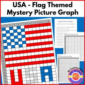
This fun, FREE picture graph is designed to give students practice in finding and plotting coordinates! With a theme of the USA and the American flag, it is perfect to use when studying the U.S. states, government and the flag. You can also use it during American holidays such as Memorial Day and/or the 4th of July!
This is STEM activity for both Math, and Geography.
-
$5.00Add to Cart
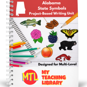
This Alabama State Symbols unit is designed to help students actively participate in research and create a beautiful project while learning more about the state! It can be used for 2nd-6th grades as there are ample pages for differing levels and abilities. To see a flipbook preview, click here. (Please allow time for the full-flipbook to load as it is a large file.)
See description below for details of what is included!
-
$2.00Add to Cart
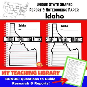
Students can use these unique state shaped notebooking pages to create a report on Idaho after doing research on the state. It includes 2 different page types, one geared toward beginning writers (multiple colored lines) and the other is single lined.
BONUS: This resource includes “The Great 50 States – Questions for Research & Reports” that will inspire and guide students during research and writing!
Suggested uses:
– For a short report, students may only need one page.
– For longer reports, copy multiple pages for each student. Have students use one page for each different state topic and then compile into a small booklet -
$2.00Add to Cart
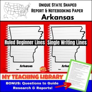
Students can use these unique state shaped notebooking pages to create a report on Arkansas after doing research on the state. It includes 2 different page types, one geared toward beginning writers (multiple colored lines) and the other is single lined.
BONUS: This resource includes “The Great 50 States – Questions for Research & Reports” that will inspire and guide students during research and writing!
Suggested uses:
– For a short report, students may only need one page.
– For longer reports, copy multiple pages for each student. Have students use one page for each different state topic and then compile into a small booklet -
$2.00Add to Cart
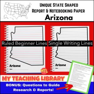
Students can use these unique state shaped notebooking pages to create a report on Arizona after doing research on the state. It includes 2 different page types, one geared toward beginning writers (multiple colored lines) and the other is single lined.
BONUS: This resource includes “The Great 50 States – Questions for Research & Reports” that will inspire and guide students during research and writing!
Suggested uses:
– For a short report, students may only need one page.
– For longer reports, copy multiple pages for each student. Have students use one page for each different state topic and then compile into a small booklet -
$2.00Add to Cart
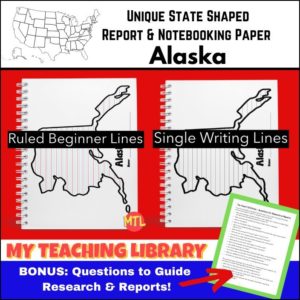
Students can use these unique state shaped notebooking pages to create a report on Alaska after doing research on the state. It includes 2 different page types, one geared toward beginning writers (multiple colored lines) and the other is single lined.
BONUS: This resource includes “The Great 50 States – Questions for Research & Reports” that will inspire and guide students during research and writing!
Suggested uses:
– For a short report, students may only need one page.
– For longer reports, copy multiple pages for each student. Have students use one page for each different state topic and then compile into a small booklet. -
$2.00Add to Cart
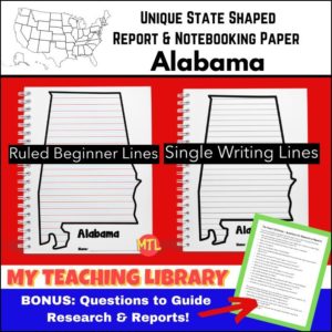
Students can use these unique state shaped notebooking pages to create a report on Alabama after doing research on the state. It includes 2 different page types, one geared toward beginning writers (multiple colored lines) and the other is single lined.
BONUS: This resource includes “The Great 50 States – Questions for Research & Reports” that will inspire and guide students during research and writing!
Suggested uses:
– For a short report, students may only need one page.
– For longer reports, copy multiple pages for each student. Have students use one page for each different state topic and then compile into a small booklet -
Sale!Original price was: $4.00.$3.50Current price is: $3.50.Add to Cart
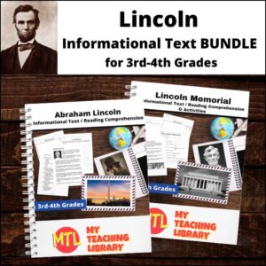
This Abraham Lincoln Informational Text Bundle includes two products:
- Abraham Lincoln | Informational Text and Activities
- Lincoln Memorial | Informational Text and Activities
(See description below for details of each)
-
FREEAdd to Cart
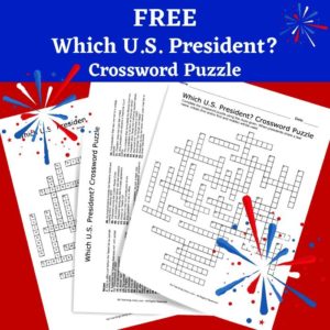
This FREE crossword puzzle has been designed to help students connect facts, nicknames, and past events to U.S. Presidents (Washington to Biden)! Students can use your current curriculum, books and the internet to help them solve the clues or they can use My Teaching Library’s resource: US Presidents Fact Cards (All clues can be found on these fact cards)
This is a fun, challenging activity for any student or class studying U.S. Presidents, U.S. History or U.S. Government. Also, it is perfect activity for Presidents Day!
-
Sale!Original price was: $11.25.$9.00Current price is: $9.00.Add to Cart
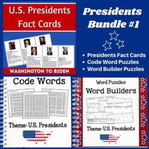
Studying the U.S. Presidents? Check out this BUNDLE! It includes three products and when you bundle, you save!
-
$1.50Add to Cart
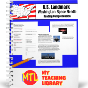
Help students learn about Washington State’s Space Needle in Seattle with this reading comprehension worksheet for 5th-7th grades. This resource includes informational text, a reading comprehension worksheet and answer key.
Flesch-Kincaid grade level: 6.0
Automated Readability Index: 5.8
Fry Readability: 6 -
$1.00Add to Cart
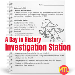
A Day in History – Investigation Station is a series of fun sleuthing research activities based on a single event on a specific day in history! This resource focus is on California. Investigation ideas include the ‘Gold Rush’, the Compromise of 1850, the state’s long and rich history, the geography and the natural resources.
Students will learn about an event and be given several topics from which to choose to ‘investigate’. After some exploration, students are asked to write what they have discovered and name used sources.
So…with each lesson, students will:
▪ (Read) Learn one ‘On this Day in History’ fact.
▪ (Investigate) Take a related topic and explore it through the use of different forms of media (i.e. books, internet).
▪ (Write) Summarize and write what they have discovered. This also should include the recording of sources. -
$3.00Add to Cart
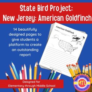
Studying the state of New Jersey and state symbols? What is the state bird of New Jersey? This project-based unit is designed to help students study and record information about New Jersey’s state bird: American Goldfinch
⭐Included:
– A map page (for the state)
– Scientific classification page
– A page for students to give details about the bird’s physical description, habitat, diet, life span and reproduction
– A page where students will do additional map work to show where in the U.S. the bird lives in addition to migration information
– Coloring page
– Several pages on which students can use for expository and/or creative writing as well as sections in which students may draw.⭐ 14 pages in all and is designed for different levels / abilities.
My Teaching Library has a notebooking set for each of all 50 states. In addition, you can get all of them bundled!
Here are other bird related products you’ll love…
-
$1.25Add to Cart
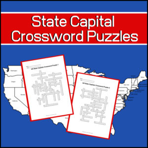
Studying the capitals of the United States? Want a couple fun, educational crossword puzzles for your students? Here they are!
Includes: 2 Crossword puzzles.
Each puzzle comes with 2 ‘clue’ pages. One without possible answers and one with a word bank from which to choose. You decide which one to give students!Answer keys provided.
-
$3.50Add to Cart
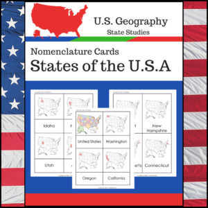
Students learning about individual U.S. States? This resource, Geography Nomenclature Cards – States of the U.S.A., will be a great addition to your classroom.
Includes two sets of State nomenclature cards PLUS pocket templates. Set one is best used with the pockets (see included photo). Set two can be used with or without the pockets. Students can use either (both) sets to study the location of each state. Students can also test themselves to see if they know the name of each state when shown the location!
-
$3.00Add to Cart
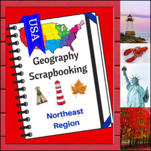
Turn your geography lessons into a creative travel adventure! As your students explore the historic and diverse Northeast region, these scrapbooking pages offer a dynamic way for them to document their “journey.” Instead of just memorizing facts, students become curators of their own learning, capturing the essence of the states from Maine down to Pennsylvania.
This 5-page set is designed to be the perfect companion to your regional studies, allowing students to blend artistic expression with factual writing.
🧠 The “How” and “Why” (Educational Benefits)
Why swap traditional worksheets for scrapbooking? It’s all about active synthesis:
- Multisensory Engagement: By drawing or pasting pictures and writing short descriptions, students engage multiple areas of the brain, leading to significantly higher information retention. 🎨
- Critical Thinking & Opinion: The “Personal Opinion” section moves beyond rote memorization, asking students to evaluate information and decide what interests them most—a key skill in developing independent learners. 💭
- Comprehensive Coverage: These pages guide students through the “Big Six” of geography: Climate, Landforms, Water, Natural Resources, Landmarks, and Culture. 🏔️🌊
- Ownership of Learning: Creating a scrapbook gives students a sense of pride and ownership. It’s no longer just a school assignment; it’s an artifact of their hard work. 📖
🛠️ Creative Ways to Use These Pages
- The “Travel Journal” Project: Have students “visit” the Northeast virtually. Use these pages as their daily log to record what they “saw” each day. ✈️
- State Fair Displays: If students are doing a deep dive into specific states, use these pages as the centerpiece for a poster board or display table.
- Geography Portfolios: Add these pages to a year-long geography binder. By the end of the year, students will have a complete “Travel Guide to the USA.” 📁
- Collaborative Posters: Print the pages at a larger scale and have small groups (or family) work together to illustrate and describe a specific aspect of the Northeast (like “Culture and Food”). 🍕
📝 What’s Included:
- 5 Detailed Scrapbooking Pages: Focused on the Northeast states.
- Guided Categories: Sections for Climate, Landforms, Water, Natural Resources, Landmarks, and Culture.
- Map Skills: Locating the states within the region.
- Personal Reflection: Space for students to share where they would most like to visit.
Pro Tip: This set is designed to pair perfectly with My Teaching Library’s Regions of the U.S. – Northeast Region | Informational Text and Worksheets for a complete, no-prep curriculum solution!
🚀 Start Your Northeast Adventure!
Transform your geography unit from dry facts into a vivid discovery! Download the Northeast Scrapbooking Pages today and give your students the creative space to show off what they know!✨
⭐ This product is included in a $$$ SAVING BUNDLE: Regions of the U.S.A. | Geography Bundle
-
$3.00Add to Cart
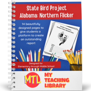
Studying the state of Alabama? Perhaps doing a unit on Ornithology? This project based unit is designed to help students study and record information about Alabama’s state bird – the Northern Flicker!
What type of pages are contained in this set:
– A map page (for the state)
– Scientific classification page
– A page for students to give details about the bird’s physical description, habitat, diet, life span and reproduction
– A page where students will do additional map work to show where in the U.S. the bird lives in addition to migration information
– Coloring page
– Several pages on which students can use for expository and/or creative writing as well as sections in which students may draw.14 pages in all and is designed for different levels / abilities.
My Teaching Library has a notebooking set for each of all 50 states. In addition, you can get all of them bundled!
If you only want a specific state, type in the search bar the state you want + ‘notebooking set’ (Example: West Virginia Notebooking Set)
Here are other bird related products you’ll love…
-
$3.00Add to Cart
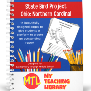
Studying the state of Ohio and state symbols? What is the state bird of Ohio?
This project-based unit is designed to help students study and record information about Ohio’s state bird: Northern Cardinal
⭐ 14 pages in all and is designed for different levels / abilities.
– A map page (for the state)
– Scientific classification page
– A page for students to give details about the bird’s physical description, habitat, diet, life span and reproduction
– A page where students will do additional map work to show where in the U.S. the bird lives in addition to migration information
– Coloring page
– Several pages on which students can use for expository and/or creative writing as well as sections in which students may draw.My Teaching Library has a notebooking set for each of all 50 states. In addition, you can get all of them bundled!
Here are other bird related products you’ll love…
- North American Birds of Prey Research / Report Pages
- Birds if Prey Flashcards
- Audubon’s Birds – Coloring Book (80 species)
- U.S. State Birds Coloring Book