
Only logged in customers who have purchased this product may leave a review.
Products
USA Quick Maps
$2.50
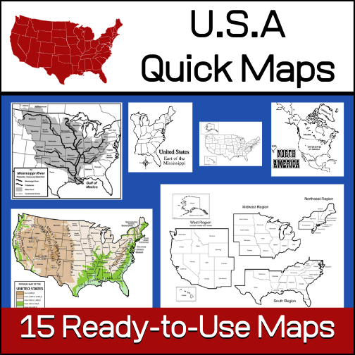
15 ready-to-use maps of the United States. Use for class projects, to create lessons or presentations.
Non-commercial use only.
Includes:
– 2 maps showing the US within North America
– US maps (with states names and unnamed)
– US regional maps (with states names and unnamed)
– US east of the Mississippi (with states names and unnamed)
– US west of the Mississippi (with states names and unnamed)
– Physical Maps of the US (color and b/w)
– The Mississippi River with tributaries (states named)
Related products
-
 $3.00Add to Cart
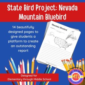
Studying the state of Nevada and state symbols? What is the state bird of Nevada?
This project-based unit is designed to help students study and record information about Nevada’s state bird: Mountain Bluebird
What type of pages are contained in this set:
– A map page (for the state)
– Scientific classification page
– A page for students to give details about the bird’s physical description, habitat, diet, life span and reproduction
– A page where students will do additional map work to show where in the U.S. the bird lives in addition to migration information
– Coloring page
– Several pages on which students can use for expository and/or creative writing as well as sections in which students may draw.14 pages in all and is designed for different levels / abilities.
My Teaching Library has a notebooking set for each of all 50 states. In addition, you can get all of them bundled!
Here are other bird related products you’ll love…
-
$3.00Add to Cart
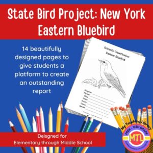
Studying the state of New York and state symbols? What is the state bird of New York?
This project-based unit is designed to help students study and record information about New York’s state bird: Eastern Bluebird
What type of pages are contained in this set:
– A map page (for the state)
– Scientific classification page
– A page for students to give details about the bird’s physical description, habitat, diet, life span and reproduction
– A page where students will do additional map work to show where in the U.S. the bird lives in addition to migration information
– Coloring page
– Several pages on which students can use for expository and/or creative writing as well as sections in which students may draw.14 pages in all and is designed for different levels / abilities.
-
$5.00Add to Cart
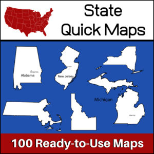
100 U.S. State outline maps – 2 maps for each state on one page:
- – Completely blank outline map
- – An outline with the state name and capital
Maps can be used for projects, bulletin boards, lesson plans and presentations.
Non-commercial use only. -
$3.00Add to Cart
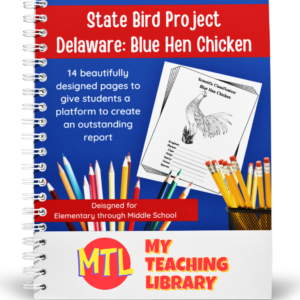
Studying the state of Delaware and state symbols? What is the state bird of Delaware?
This project-based unit is designed to help students study and record information about Delaware’s state bird: Delaware Blue Hen Chicken
What type of pages are contained in this set:
– A map page (for the state)
– Scientific classification page
– A page for students to give details about the bird’s physical description, habitat, diet, life span and reproduction
– A page where students will do additional map work to show where in the U.S. the bird lives in addition to migration information
– Coloring page
– Several pages on which students can use for expository and/or creative writing as well as sections in which students may draw.14 pages in all and is designed for different levels / abilities.
My Teaching Library has a notebooking set for each of all 50 states. In addition, you can get all of them bundled!
Here are other bird related products you’ll love…


Reviews
There are no reviews yet.