
Tag: United States
Showing 1–20 of 54 resultsSorted by latest
-
 $2.00Add to Cart
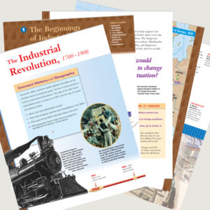
This 24 page resource gives students an wonderful insight into the Industrial Revolution throughout the world.
Includes:- The Beginnings of Industrialization
- Inventions
- Industrialization- Changes Ways of Life
- The Spread of Industrialization (into the U.S.)
- Age of Reforms (including the rise of Socialism and Capitalism vs Marxism)
-
$1.25Add to Cart
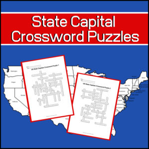
Studying the capitals of the United States? Want a couple fun, educational crossword puzzles for your students? Here they are!
Includes: 2 Crossword puzzles.
Each puzzle comes with 2 ‘clue’ pages. One without possible answers and one with a word bank from which to choose. You decide which one to give students!Answer keys provided.
-
$3.50Add to Cart
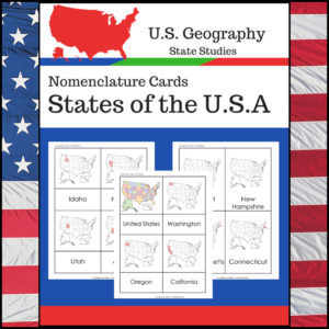
Students learning about individual U.S. States? This resource, Geography Nomenclature Cards – States of the U.S.A., will be a great addition to your classroom.
Includes two sets of State nomenclature cards PLUS pocket templates. Set one is best used with the pockets (see included photo). Set two can be used with or without the pockets. Students can use either (both) sets to study the location of each state. Students can also test themselves to see if they know the name of each state when shown the location!
-
$3.00Add to Cart
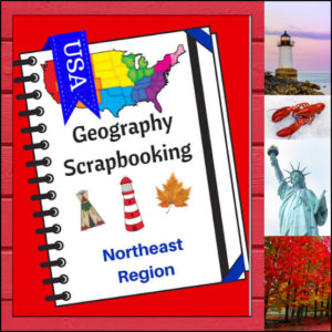
Turn your geography lessons into a creative travel adventure! As your students explore the historic and diverse Northeast region, these scrapbooking pages offer a dynamic way for them to document their “journey.” Instead of just memorizing facts, students become curators of their own learning, capturing the essence of the states from Maine down to Pennsylvania.
This 5-page set is designed to be the perfect companion to your regional studies, allowing students to blend artistic expression with factual writing.
🧠 The “How” and “Why” (Educational Benefits)
Why swap traditional worksheets for scrapbooking? It’s all about active synthesis:
- Multisensory Engagement: By drawing or pasting pictures and writing short descriptions, students engage multiple areas of the brain, leading to significantly higher information retention. 🎨
- Critical Thinking & Opinion: The “Personal Opinion” section moves beyond rote memorization, asking students to evaluate information and decide what interests them most—a key skill in developing independent learners. 💭
- Comprehensive Coverage: These pages guide students through the “Big Six” of geography: Climate, Landforms, Water, Natural Resources, Landmarks, and Culture. 🏔️🌊
- Ownership of Learning: Creating a scrapbook gives students a sense of pride and ownership. It’s no longer just a school assignment; it’s an artifact of their hard work. 📖
🛠️ Creative Ways to Use These Pages
- The “Travel Journal” Project: Have students “visit” the Northeast virtually. Use these pages as their daily log to record what they “saw” each day. ✈️
- State Fair Displays: If students are doing a deep dive into specific states, use these pages as the centerpiece for a poster board or display table.
- Geography Portfolios: Add these pages to a year-long geography binder. By the end of the year, students will have a complete “Travel Guide to the USA.” 📁
- Collaborative Posters: Print the pages at a larger scale and have small groups (or family) work together to illustrate and describe a specific aspect of the Northeast (like “Culture and Food”). 🍕
📝 What’s Included:
- 5 Detailed Scrapbooking Pages: Focused on the Northeast states.
- Guided Categories: Sections for Climate, Landforms, Water, Natural Resources, Landmarks, and Culture.
- Map Skills: Locating the states within the region.
- Personal Reflection: Space for students to share where they would most like to visit.
Pro Tip: This set is designed to pair perfectly with My Teaching Library’s Regions of the U.S. – Northeast Region | Informational Text and Worksheets for a complete, no-prep curriculum solution!
🚀 Start Your Northeast Adventure!
Transform your geography unit from dry facts into a vivid discovery! Download the Northeast Scrapbooking Pages today and give your students the creative space to show off what they know!✨
⭐ This product is included in a $$$ SAVING BUNDLE: Regions of the U.S.A. | Geography Bundle
-
$3.00Add to Cart
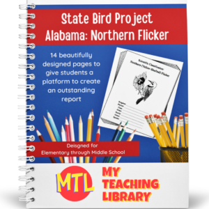
Studying the state of Alabama? Perhaps doing a unit on Ornithology? This project based unit is designed to help students study and record information about Alabama’s state bird – the Northern Flicker!
What type of pages are contained in this set:
– A map page (for the state)
– Scientific classification page
– A page for students to give details about the bird’s physical description, habitat, diet, life span and reproduction
– A page where students will do additional map work to show where in the U.S. the bird lives in addition to migration information
– Coloring page
– Several pages on which students can use for expository and/or creative writing as well as sections in which students may draw.14 pages in all and is designed for different levels / abilities.
My Teaching Library has a notebooking set for each of all 50 states. In addition, you can get all of them bundled!
If you only want a specific state, type in the search bar the state you want + ‘notebooking set’ (Example: West Virginia Notebooking Set)
Here are other bird related products you’ll love…
-
$3.00Add to Cart
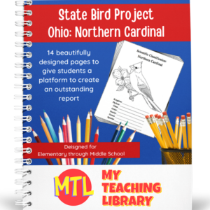
Studying the state of Ohio and state symbols? What is the state bird of Ohio?
This project-based unit is designed to help students study and record information about Ohio’s state bird: Northern Cardinal
⭐ 14 pages in all and is designed for different levels / abilities.
– A map page (for the state)
– Scientific classification page
– A page for students to give details about the bird’s physical description, habitat, diet, life span and reproduction
– A page where students will do additional map work to show where in the U.S. the bird lives in addition to migration information
– Coloring page
– Several pages on which students can use for expository and/or creative writing as well as sections in which students may draw.My Teaching Library has a notebooking set for each of all 50 states. In addition, you can get all of them bundled!
Here are other bird related products you’ll love…
- North American Birds of Prey Research / Report Pages
- Birds if Prey Flashcards
- Audubon’s Birds – Coloring Book (80 species)
- U.S. State Birds Coloring Book
-
$5.00Add to Cart
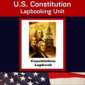
This United States Constitution Lapbook will help students gain an good understanding of America’s foundational document and American History.
It is an interactive learning resource and can be student guided or teacher directed!
Included in this product…
- Lapbooking instructions
- Assignment page
- Lapbook Rubric
- Complete copy of the U.S. Constitution
- Lapbook templates
While completing this project, students will be asked to report on things such as…the purpose of the Constitution, when it was written, the amendments, Bill of Rights, the framers of the document, the Constitutional delegates, the Virginia Plan, separation of powers, checks and balances, the make up of the different branches of our government and more. A copy of the U.S. Constitution is included. Students will be required to research or read books to gather information to complete much of the project.
-
$3.00Add to Cart
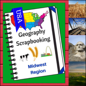
🌽 Bring the “Heartland” to life with this creative, hands-on geography resource! As your students explore the Midwest region, these scrapbooking pages provide a structured yet artistic way for them to document their discoveries. From the Great Lakes to the rolling prairies, students will transition from passive readers to active explorers as they curate their own regional “travel log.”
This 5-page set is designed to be a flexible companion to any geography curriculum, allowing students to combine factual research with personal expression.
🧠 The “How” and “Why” (Educational Benefits)
Why choose scrapbooking for geography? It’s all about engaging the whole learner:
- Visual & Kinetic Memory: By drawing or searching for pictures to paste, students create strong visual anchors for geographical concepts like landforms and landmarks. 🎨
- Synthesized Writing: Writing “short sentences” requires students to summarize what they’ve learned, which is a higher-level thinking skill than simply copying definitions. ✍️
- Student Agency: The “Personal Opinion” section empowers students to connect with the material on a human level—deciding for themselves what makes a location worth visiting. 💭
- Multi-Category Mastery: These pages ensure students don’t just learn “where” a place is, but “what” it is, covering: Climate, Landforms, Water, Natural Resources, Landmarks, and Culture. 🚜🏗️
🛠️ Ways to Use These Pages in Your Classroom
- The “Midwest Research” Project: Have students use “Regions of the U.S. – Midwest Region | Informational Text and Worksheets”, library books or safe search engines to find the facts needed to “fill their scrapbook” independently. 🔍
- A Creative Unit Wrap-Up: After finishing a unit on the Midwest, use these pages as a fun alternative to a traditional test to assess what information stuck.
- Travel Journaling: Pretend the lesson time is a time to go on a cross-country road trip. Each day, “stop” in the Midwest and have students update their scrapbooks with what they “saw.” 🚗💨
- Collaborative Portfolios: Collect the pages over the course of the year as students study every region, eventually binding them into a complete “Tour of the USA” book. 📁
📝 What’s Included:
- 5 Creative Scrapbooking Pages: Specifically tailored to the Midwest region.
- Guided Prompts: Dedicated sections for drawing/pasting and writing about climate, resources, landmarks, and more.
- Map Integration: Practice naming the states within the Heartland.
- Personal Reflection: A “Where to Visit” section to spark imagination and travel dreams.
Pro Tip: This set is designed to pair perfectly with Regions of the U.S. – Midwest Region | Informational Text and Worksheets for a comprehensive, ready-to-go geography unit!
🚀 Start the Heartland Adventure!
Turn geography into a keepsake! Download the Midwest Scrapbooking Pages today and give your students a creative way to master the map!
⭐ This product is included in a $$$ SAVING BUNDLE: Regions of the U.S.A. | Geography Bundle
-
Northeast Region U.S. Geography | Informational Text & Worksheets Unit to Pinterest (opens in a new window)$4.00Add to Cart
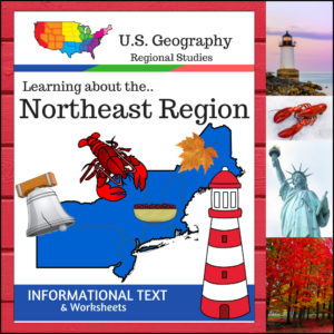
Take your students on a journey through the historic and rugged Northeast Region! This 12-page resource provides a comprehensive “textbook-style” experience without the bulk of a heavy manual. From the Appalachian Mountains to the bustling Atlantic harbors, students will explore the unique identity of this vital corner of the United States.
This resource is designed to be a “one-stop shop” for regional literacy, covering Land and Water, Climate, Products and Natural Resources, Landmarks, Culture, and Food.
🧠 The “How” and “Why” (Educational Benefits)
Why choose this informational text set? It’s built on proven instructional strategies:
- Activates Prior Knowledge: The Anticipation Activity primes the brain for learning, helping students make connections between what they think they know and the new facts they are about to discover. 💡
- Targeted Comprehension: By breaking the text into specific categories (like Climate or Culture), students learn how to scan for information and master the art of non-fiction reading. 📖
- Critical Thinking: The category-specific questions require students to synthesize the text rather than just skimming for a single word.
- Skill Reinforcement: The “State Name Unscramble” provides a fun, low-stakes way to reinforce spelling and geographical recognition of the Northeast states. 🧩
🛠️ Ways to Use This in Your Classroom
- The Foundation of a Unit: Use the informational text as your primary reading material for a week-long deep dive into the Northeast.
- Guided Reading Groups: Break into small groups, assign each group one category (like “Landmarks” or “Food”) to read and present back to the class. If homeschooling, this can be done as a family. 🏫
- Create an Independent Research Station: Place the worksheets in a center or folder for students to complete at their own pace.
- Easy Plans: With clear text, structured questions, and included answer keys, this is the perfect “grab-and-go” resource. 🍎
📝 What’s Inside This 12-Page Resource:
- Textbook-Style Informational Text: High-quality content covering all major regional pillars.
- Anticipation Activity: Get those gears turning before the reading begins!
- Comprehensive Student Worksheets: Detailed questions for every category.
- State Name Unscramble: A fun challenge to wrap up the unit.
- Full Answer Keys: For quick, easy grading. ✅
Pro Tip: For the ultimate hands-on experience, pair this resource with the US Geography – Northeast Scrapbooking Pages! Students can use the facts they learn here to create their own beautiful regional journals.
🚀 Ready to Explore the Northeast?
Give your students a clear, structured, and engaging way to master U.S. Geography.Add the Regions of the U.S. – Northeast Region to your curriculum today and start the adventure!
⭐ This product is included in a $$$ SAVING BUNDLE: Regions of the U.S.A. | Geography Bundle
-
$1.75Add to Cart
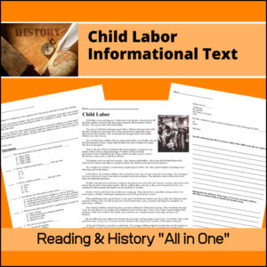
This resource, Child Labor – Industrial Revolution Informational Text, will introduce your students to how the Industrial Revolution led to children working in factories and the conditions they endured.
After students read the information, their comprehension and understanding will be assessed through 8 multiple choice questions and 2 short essay questions.
One essay question will ask students to compare and contrast a factory child’s life (of the 1800s) to a life of a child today. The other is an opinion piece on what they believe is appropriate (and not appropriate) work for children. They will also be asked to make a chart of this information.
Flesch-Kincaid Grade Level: 6.1
-
Sale!Original price was: $23.00.$20.00Current price is: $20.00.Add to Cart
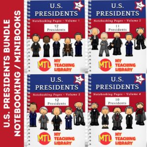
This U.S. Presidents bundled resource has been designed for early learners (Kindergarten, 1st grade and 2nd grade). Kids will begin learning U.S. History and the men who lead the country with these fun notebooking pages and mini-books!
EACH president section contains 5 student pages:
- * Coloring page
- * Color & Trace page with basic facts
- * Color & Write page for students to complete the name of the president, his birthday and 2 facts about him
- * Color & Write page for students to create a short report
- * Mini-Book for students to complete about the president
-
Learning about the U.S.A. – State Maps (Outline – Capitals – Major Cities) to Pinterest (opens in a new window)
 $8.00Add to Cart
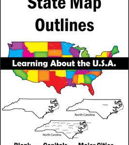
150 maps included in this download!
Each state has 3 pages / maps:
* Outline of the state
* Map showing the capital
* Map showing the major cities -
$3.00Add to Cart
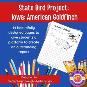
Studying the state of Iowa and state symbols? What is the state bird of Iowa? This project-based unit is designed to help students study and record information about Iowa’s state bird: American Goldfinch
⭐Included:
– A map page (for the state)
– Scientific classification page
– A page for students to give details about the bird’s physical description, habitat, diet, life span and reproduction
– A page where students will do additional map work to show where in the U.S. the bird lives in addition to migration information
– Coloring page
– Several pages on which students can use for expository and/or creative writing as well as sections in which students may draw.⭐ 14 pages in all and is designed for different levels / abilities.
My Teaching Library has a notebooking set for each of all 50 states. In addition, you can get all of them bundled!
Here are other bird related products you’ll love…
-
$3.00Add to Cart
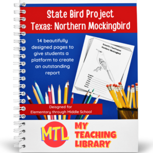
Studying the state of Texas? Perhaps doing a unit on Ornithology? This project-based unit is designed to help students study and record information about Texas’s state bird – the Northern Mockingbird!
What type of pages are contained in this set:
– A map page (for the state)
– Scientific classification page
– A page for students to give details about the bird’s physical description, habitat, diet, life span and reproduction
– A page where students will do additional map work to show where in the U.S. the bird lives in addition to migration information
– Coloring page
– Several pages on which students can use for expository and/or creative writing as well as sections in which students may draw.14 pages in all and is designed for different levels / abilities.
My Teaching Library has a notebooking set for each of all 50 states. In addition, you can get all of them bundled!
If you only want a specific state, type in the search bar the state you want + ‘notebooking set’ (Example: West Virginia Notebooking Set)
Here are other bird related products you’ll love…
- North American Birds of Prey Research / Report Pages
- Birds if Prey Flashcards
- Audubon’s Birds – Coloring Book (80 species)
- U.S. State Birds Coloring Book
-
$2.50Add to Cart
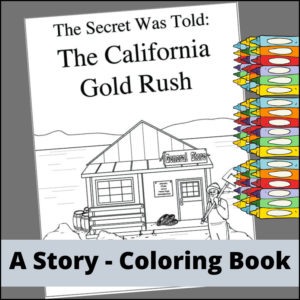
Students will have fun coloring the story of the California gold rush! The story will begin with an American construction worker, James Marshall, and his discovery of gold while building a sawmill for a businessman named John Sutter. It continues as 25,000 people travel to California calling themselves ‘forty-niners’ and finally tells what happened after the gold rush ended.
-
$3.00Add to Cart
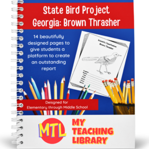
Studying the state of Georgia? Perhaps doing a unit on Ornithology? This project-based unit is designed to help students study and record information about Georgia’s state bird – the Brown Thrasher!
Included:
– A map page (for the state)
– Scientific classification page
– A page for students to give details about the bird’s physical description, habitat, diet, life span and reproduction
– A page where students will do additional map work to show where in the U.S. the bird lives in addition to migration information
– Coloring page
– Several pages on which students can use for expository and/or creative writing as well as sections in which students may draw.14 pages in all and is designed for different levels / abilities.
My Teaching Library has a notebooking set for each of all 50 states. In addition, you can get all of them bundled!
Here are other bird related products you’ll love…
-
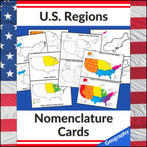
US Regions Nomenclature Cards | Geography – Social Studies Visual Aids – Maps to Pinterest (opens in a new window)$6.00Add to Cart
Mastering the map has never been more visual! This set of 20 professional nomenclature cards is the perfect foundational tool for any U.S. geography unit. Based on the 4 regions as defined by the U.S. Census Bureau (Northeast, Midwest, South, and West), these cards provide a clear, structured way for students to visualize how the United States is organized.
From full-color coded keys to black-and-white standalone regional maps, this versatile set helps students transition from “the big picture” to specific regional details with ease.
🧠 The “How” and “Why” (Educational Benefits)
Why use nomenclature cards for geography? It’s all about spatial recognition and scaffolded learning:
- Visual Discrimination: By seeing a region highlighted in color against a grayscale map of the whole U.S., students naturally learn exactly where that region sits in relation to the rest of the country. 📍
- Scaffolded Difficulty: Start with the cards that include state names for guided learning, then transition to the name-free cards to challenge their memory. 🎓
- Standards-Aligned: Because these follow the U.S. Census Bureau divisions, you can be confident your students are learning the most widely accepted geographic classifications used in social studies. ✅
- Versatility: The mix of color and black-and-white versions allows for high-impact visual aids or budget-friendly, student-ready worksheets.
🛠️ Ways to Use These
- Geography Centers: Laminate the color cards and use them as a “match the region” game or sorting activity. 🧩
- Interactive Notebooks: Print the black-and-white versions for students to color in, label, and glue into their social studies journals. 📓
- Flashcard Drills: Use the cards to quiz students on state locations within specific regions (e.g., “Which states are in the Midwest?”). ⚡
- Display: Create a stunning “Geography Wall” using the full-color coded keys as a reference point for students during independent work. 🖼️
🚀 Help Your Students Find Their Way!
Equip your geography explorers with the visual tools they need to master U.S. Geography. Add these US Regions Nomenclature Cards to your teaching toolkit today and watch their map-reading confidence soar! 🌟
UPGRADE and get this BUDNLE: Regions of the U.S.A. | Geography Bundle
-
$2.50Add to Cart
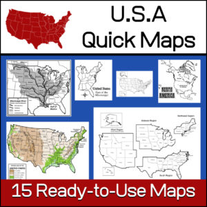
15 ready-to-use maps of the United States. Use for class projects, to create lessons or presentations.
Non-commercial use only.Includes:
– 2 maps showing the US within North America
– US maps (with states names and unnamed)
– US regional maps (with states names and unnamed)
– US east of the Mississippi (with states names and unnamed)
– US west of the Mississippi (with states names and unnamed)
– Physical Maps of the US (color and b/w)
– The Mississippi River with tributaries (states named) -
$3.00Add to Cart
Studying the state of Arkansas and state symbols? What is the state bird of Arkansas?
This project-based unit is designed to help students study and record information about Arkansas’s state bird: Northern Mockingbird
⭐Included:
– A map page (for the state)
– Scientific classification page
– A page for students to give details about the bird’s physical description, habitat, diet, life span and reproduction
– A page where students will do additional map work to show where in the U.S. the bird lives in addition to migration information
– Coloring page
– Several pages on which students can use for expository and/or creative writing as well as sections in which students may draw.⭐ 14 pages in all and is designed for different levels / abilities.
My Teaching Library has a notebooking set for each of all 50 states. In addition, you can get all of them bundled!
Here are other bird related products you’ll love…
-
$3.00Add to Cart
Studying the state of Indiana and state symbols? What is the state bird of Indiana?
This project-based unit is designed to help students study and record information about Indiana’s state bird: Northern Cardinal
⭐Included:
– A map page (for the state)
– Scientific classification page
– A page for students to give details about the bird’s physical description, habitat, diet, life span and reproduction
– A page where students will do additional map work to show where in the U.S. the bird lives in addition to migration information
– Coloring page
– Several pages on which students can use for expository and/or creative writing as well as sections in which students may draw.⭐ 14 pages in all and is designed for different levels / abilities.
My Teaching Library has a notebooking set for each of all 50 states. In addition, you can get all of them bundled!
Here are other bird related products you’ll love…