


Only logged in customers who have purchased this product may leave a review.
Products
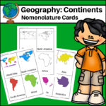
Continents – World Geography Nomenclature Cards
$2.00
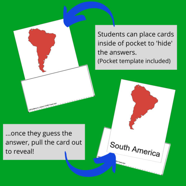
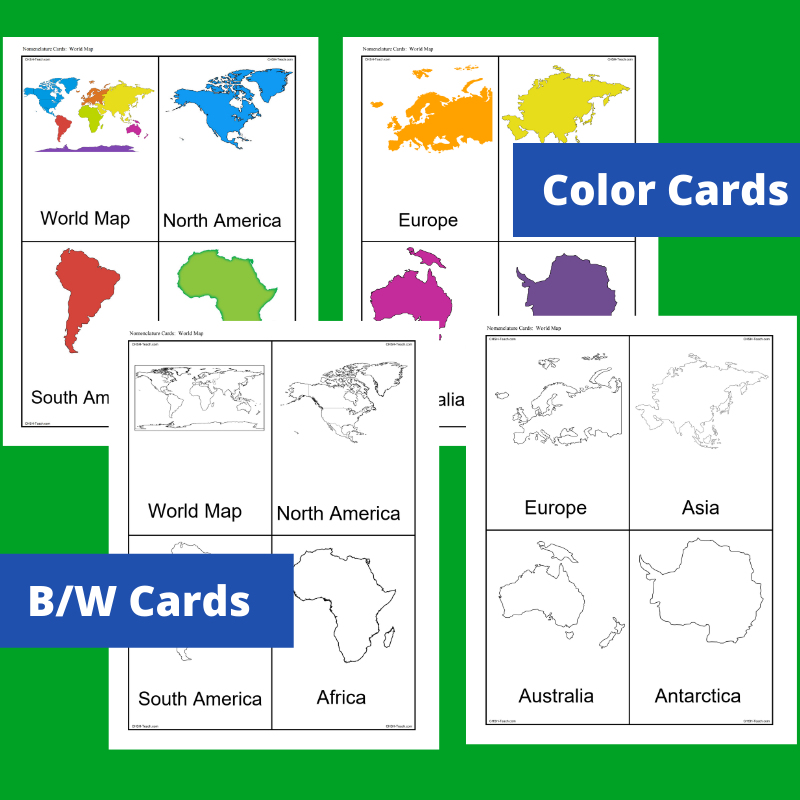
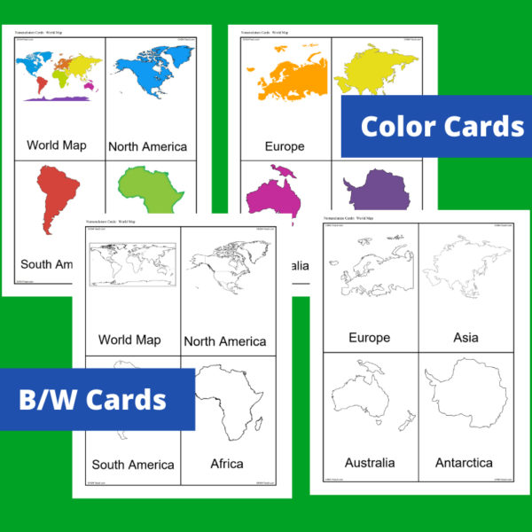
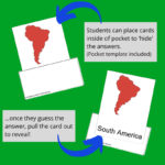
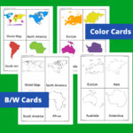
This resource, Continents – World Geography Nomenclature Cards, will help your students learn the shape of each of the seven continents!
Includes 2 sets:
– Color set for a Social Studies / Geography Center or for use on an interactive bulletin board
– B/W set to give each student there own ‘flash’ nomenclature cards
Related products
-
 $2.50Buy Now
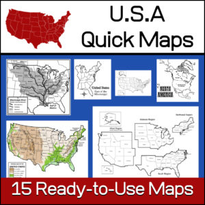
15 ready-to-use maps of the United States. Use for class projects, to create lessons or presentations.
Non-commercial use only.Includes:
– 2 maps showing the US within North America
– US maps (with states names and unnamed)
– US regional maps (with states names and unnamed)
– US east of the Mississippi (with states names and unnamed)
– US west of the Mississippi (with states names and unnamed)
– Physical Maps of the US (color and b/w)
– The Mississippi River with tributaries (states named) -
 $2.50Buy Now
As students learn about different types of ‘homes’ throughout the world and history, this is a perfect resource to incorporate into your lesson plans. It includes 9 worksheets. Each will display a different type of home. Students are asked to ‘add to the picture, color and write a story.’
Types of homes included:
- – hut
- – chalet
- – adobe
- – Japanese Minka
- – palace
- – Spanish colonial
- – tipi
- – yaranga
- – yurt
-
 $5.00Buy Now
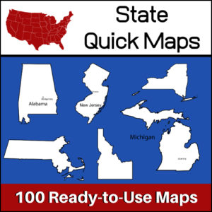
100 U.S. State outline maps – 2 maps for each state on one page:
- – Completely blank outline map
- – An outline with the state name and capital
Maps can be used for projects, bulletin boards, lesson plans and presentations.
Non-commercial use only. -
 $8.00Buy Now
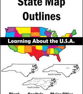
150 maps included in this download!
Each state has 3 pages / maps:
* Outline of the state
* Map showing the capital
* Map showing the major cities
&url=https://myteachinglibrary.com/product/u-s-state-map-outlines-usa-geography/&media=https://myteachinglibrary.com/wp-content/uploads/2019/08/wy-459-f.jpg)
Reviews
There are no reviews yet.