


Description
All-Access members do not pay for this or any resource. Become an All-Access member today!
________________________
|
Get the MOST from My Teaching Library by connecting with us here: |
$5.00
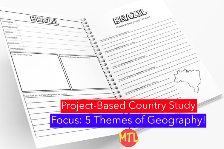
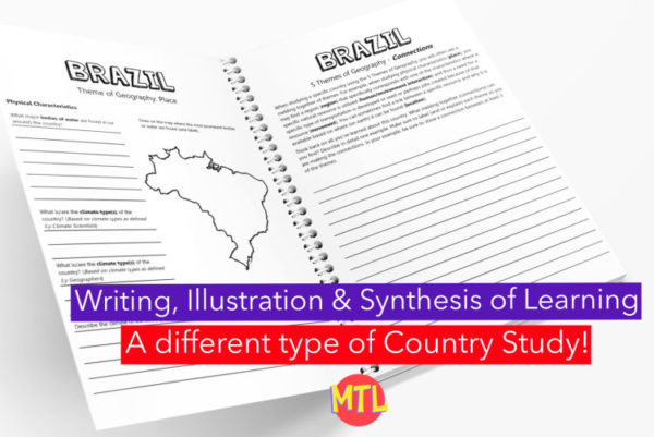
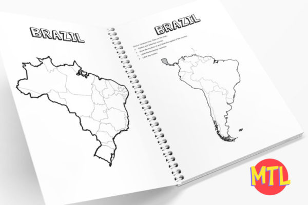
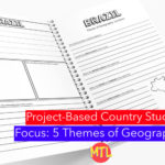
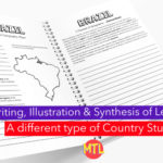
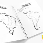
This is a country study resource on the South American country of Brazil focusing on the 5 Themes of Geography! There are a lot of country studies but this one is different.
This study will ask students to ‘think like a geographer‘ in their research and recording. Using this resource, students will…
Sample questions include:
There are many more questions and this unit is designed to get your students thinking like a geographer!!
Students will need to have a good understanding of the 5 Themes of Geography to complete this project. Need teaching materials for the 5 Themes? Get My Teaching Library’s 5 Themes of Geography Bundle
All-Access members do not pay for this or any resource. Become an All-Access member today!
________________________
|
Get the MOST from My Teaching Library by connecting with us here: |
Only logged in customers who have purchased this product may leave a review.

As students learn about different types of ‘homes’ throughout the world and history, this is a perfect resource to incorporate into your lesson plans. It includes 9 worksheets. Each will display a different type of home. Students are asked to ‘add to the picture, color and write a story.’
Types of homes included:
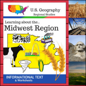
This Regions of the U.S. Geography resource is centered on the Midwest Region and contains textbook style informational text and related student worksheets with answer keys. Students will enjoy learning about this region studying the categories of Land and Water, Climate, Products and Natural Resources, Landmarks, Culture and Food.
Because the United States can be divided up into different regions, I’ve designed this resource to follow the regions as defined by the U.S. Census Bureau. The resource shows the states in the Midwest as being North Dakota, South Dakota, Nebraska, Kansas, Minnesota, Iowa, Missouri, Wisconsin, Illinois, Indiana, Michigan, Ohio
⭐ This product is included in a $$$ SAVING BUNDLE: Regions of the U.S.A. | Geography Bundle
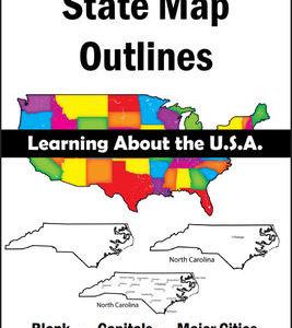
150 maps included in this download!
Each state has 3 pages / maps:
* Outline of the state
* Map showing the capital
* Map showing the major cities
&url=https://myteachinglibrary.com/product/u-s-state-map-outlines-usa-geography/&media=https://myteachinglibrary.com/wp-content/uploads/2019/08/wy-459-f.jpg)
Reviews
There are no reviews yet.