
Description
All-Access members do not pay for this or any resource.
Become an All-Access member today!
________________________
|
Get the MOST from My Teaching Library by connecting with us here: |

$8.75
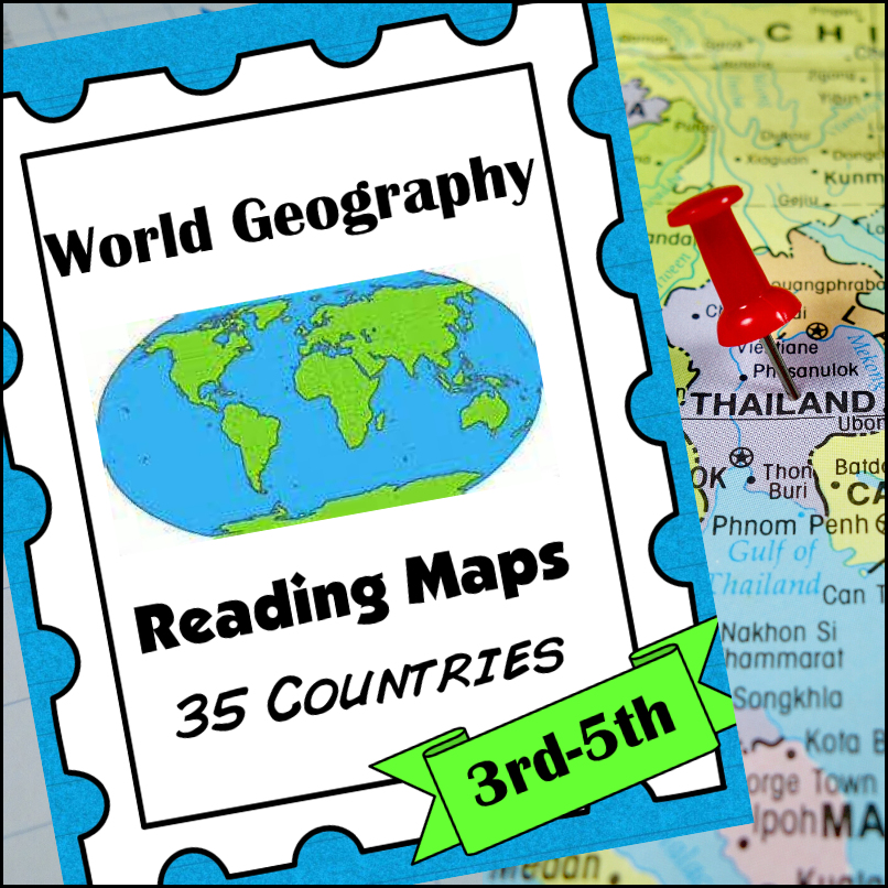
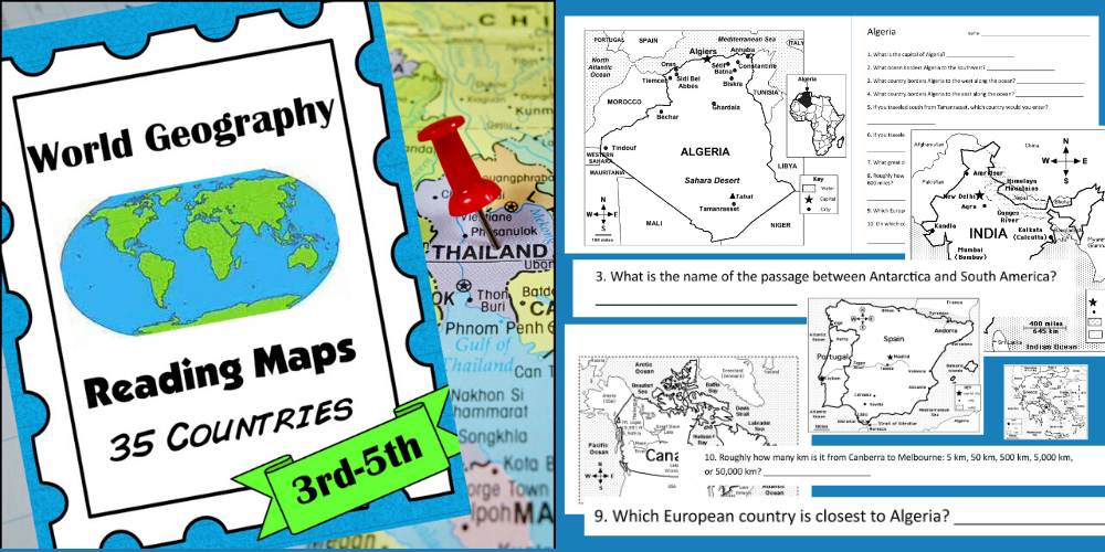
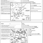
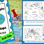
A comprehensive map-reading resource designed to help students develop essential navigation and analytical skills by focusing on 35 different countries.
Key Features:
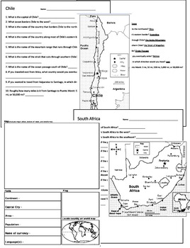
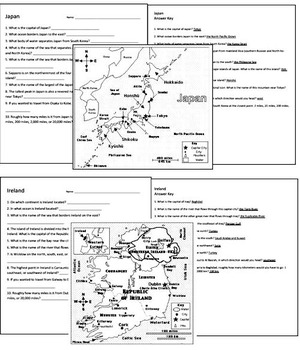
Country-Specific Focus: For each country, students are given a map and asked specific questions that will require them to read the map to answer. (Questions may be things such as the location of the capital, naming rivers that are within or border the country, mountain ranges within the country, what nations border the country, etc.)
Critical Thinking Exercises: The worksheets go beyond simple identification, prompting students to solve navigation problems, determine cardinal directions, and estimate distances between major cities.
Integrated Learning: The resource connects physical geography with logical reasoning, helping students understand how environmental features like mountain ranges and bodies of water shape national landscapes and travel routes.
Ready-to-Use Answer Keys: The included answer keys make this an efficient tool for independent study, homeschooling, or classroom assessment.
Countries included: Algeria. Antarctica. Argentina. Australia. Bolivia. Brazil. Canada. Chile. China. Colombia. Ecuador. Egypt. Ethiopia. France. Ghana. Greece. Spain/Portugal. India. Iran. Iraq. Ireland. Italy, Japan, Kenya, Liberia, Libya, Madagascar, Mexico, Morocco, Nigeria, Peru, Russia, Saudi Arabia, South Africa, Uganda
This resource is an ideal addition to any social studies program, providing the structure needed for students to build confidence in reading maps and understanding global geography.
All-Access members do not pay for this or any resource.
Become an All-Access member today!
________________________
|
Get the MOST from My Teaching Library by connecting with us here: |
Only logged in customers who have purchased this product may leave a review.
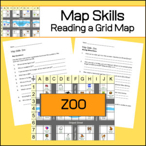
Students will practice reading a grid map and a map key with these zoo themed worksheets. Students will be given a grid map of a zoo and asked several questions requiring them read and navigate throughout the map. There are also two additional activities to extend learning (through writing and creative design). Answer Key included.
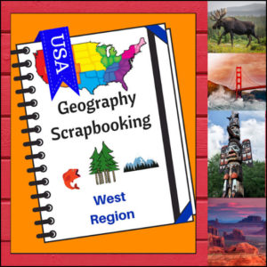
🏔️ Capture the spirit of the frontier and the beauty of the Pacific Coast with this hands-on, interactive geography resource! As your students explore the vast and varied Western region, these scrapbooking and notebooking pages provide the perfect canvas for them to document their discoveries. From the Rocky Mountains to the Hawaiian islands, students become active explorers of the American West!
This 5-page set is designed to be a flexible, creative companion to your geography curriculum, allowing students to blend factual research with their own artistic flair.
🧠 The “How” and “Why” (Educational Benefits)
Why incorporate scrapbooking into your geography lessons? It’s all about immersive learning:
🛠️ Creative Ways to Use These Pages
📝 What’s Included:
Pro Tip: For the ultimate learning experience, pair these pages with Regions of the U.S. – West Region | Informational Text and Worksheets. Students can use the facts they learn there to fill their scrapbooks with expert knowledge!
🚀 Head West with Your Students! Turn your geography unit into a creative adventure! Download the West Scrapbooking Pages today and watch your students bring the wonder of the Western United States to life on the page!
⭐ This product is included in a $$$ SAVING BUNDLE: Regions of the U.S.A. | Geography Bundle
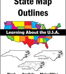
150 maps included in this download!
Each state has 3 pages / maps:
* Outline of the state
* Map showing the capital
* Map showing the major cities
Studying the state of Maryland and state symbols? What is the state bird of Maryland?
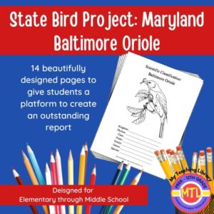
This project-based unit is designed to help students study and record information about Maryland’s state bird: Baltimore Oriole
What type of pages are contained in this set:
– A map page (for the state)
– Scientific classification page
– A page for students to give details about the bird’s physical description, habitat, diet, life span and reproduction
– A page where students will do additional map work to show where in the U.S. the bird lives in addition to migration information
– Coloring page
– Several pages on which students can use for expository and/or creative writing as well as sections in which students may draw.
14 pages in all and is designed for different levels / abilities.
My Teaching Library has a notebooking set for each of all 50 states. In addition, you can get all of them bundled!
Here are other bird related products you’ll love…


Reviews
There are no reviews yet.