

Only logged in customers who have purchased this product may leave a review.
Products
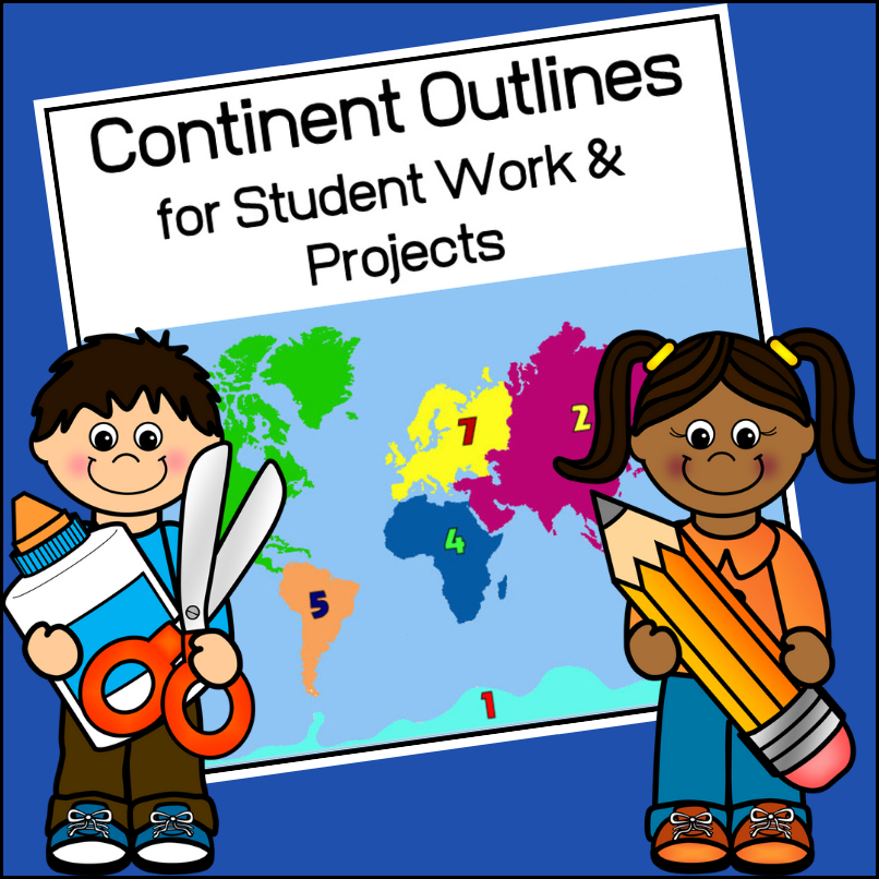
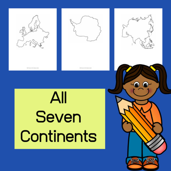
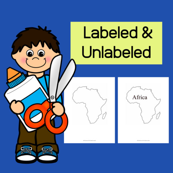
Continent Outlines for Student Work and Projects
$3.00
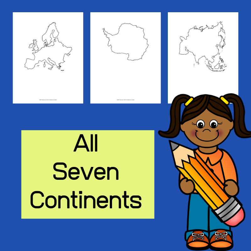
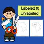
This resource, Continent Outlines for Student Work and Projects, contains 14 pages of continent outlines (7 labeled, 7 unlabeled). This is not clipart but ready to use outlines, just print and give to students to use however they need to!
Related products
-
 $3.00Add to Cart
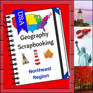
Turn your geography lessons into a creative travel adventure! As your students explore the historic and diverse Northeast region, these scrapbooking pages offer a dynamic way for them to document their “journey.” Instead of just memorizing facts, students become curators of their own learning, capturing the essence of the states from Maine down to Pennsylvania.
This 5-page set is designed to be the perfect companion to your regional studies, allowing students to blend artistic expression with factual writing.
🧠 The “How” and “Why” (Educational Benefits)
Why swap traditional worksheets for scrapbooking? It’s all about active synthesis:
- Multisensory Engagement: By drawing or pasting pictures and writing short descriptions, students engage multiple areas of the brain, leading to significantly higher information retention. 🎨
- Critical Thinking & Opinion: The “Personal Opinion” section moves beyond rote memorization, asking students to evaluate information and decide what interests them most—a key skill in developing independent learners. 💭
- Comprehensive Coverage: These pages guide students through the “Big Six” of geography: Climate, Landforms, Water, Natural Resources, Landmarks, and Culture. 🏔️🌊
- Ownership of Learning: Creating a scrapbook gives students a sense of pride and ownership. It’s no longer just a school assignment; it’s an artifact of their hard work. 📖
🛠️ Creative Ways to Use These Pages
- The “Travel Journal” Project: Have students “visit” the Northeast virtually. Use these pages as their daily log to record what they “saw” each day. ✈️
- State Fair Displays: If students are doing a deep dive into specific states, use these pages as the centerpiece for a poster board or display table.
- Geography Portfolios: Add these pages to a year-long geography binder. By the end of the year, students will have a complete “Travel Guide to the USA.” 📁
- Collaborative Posters: Print the pages at a larger scale and have small groups (or family) work together to illustrate and describe a specific aspect of the Northeast (like “Culture and Food”). 🍕
📝 What’s Included:
- 5 Detailed Scrapbooking Pages: Focused on the Northeast states.
- Guided Categories: Sections for Climate, Landforms, Water, Natural Resources, Landmarks, and Culture.
- Map Skills: Locating the states within the region.
- Personal Reflection: Space for students to share where they would most like to visit.
Pro Tip: This set is designed to pair perfectly with My Teaching Library’s Regions of the U.S. – Northeast Region | Informational Text and Worksheets for a complete, no-prep curriculum solution!
🚀 Start Your Northeast Adventure!
Transform your geography unit from dry facts into a vivid discovery! Download the Northeast Scrapbooking Pages today and give your students the creative space to show off what they know!✨
⭐ This product is included in a $$$ SAVING BUNDLE: Regions of the U.S.A. | Geography Bundle
-
$5.00Add to Cart
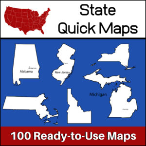
100 U.S. State outline maps – 2 maps for each state on one page:
- – Completely blank outline map
- – An outline with the state name and capital
Maps can be used for projects, bulletin boards, lesson plans and presentations.
Non-commercial use only. -
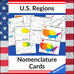
US Regions Nomenclature Cards | Geography – Social Studies Visual Aids – Maps to Pinterest (opens in a new window)$6.00Add to Cart
Mastering the map has never been more visual! This set of 20 professional nomenclature cards is the perfect foundational tool for any U.S. geography unit. Based on the 4 regions as defined by the U.S. Census Bureau (Northeast, Midwest, South, and West), these cards provide a clear, structured way for students to visualize how the United States is organized.
From full-color coded keys to black-and-white standalone regional maps, this versatile set helps students transition from “the big picture” to specific regional details with ease.
🧠 The “How” and “Why” (Educational Benefits)
Why use nomenclature cards for geography? It’s all about spatial recognition and scaffolded learning:
- Visual Discrimination: By seeing a region highlighted in color against a grayscale map of the whole U.S., students naturally learn exactly where that region sits in relation to the rest of the country. 📍
- Scaffolded Difficulty: Start with the cards that include state names for guided learning, then transition to the name-free cards to challenge their memory. 🎓
- Standards-Aligned: Because these follow the U.S. Census Bureau divisions, you can be confident your students are learning the most widely accepted geographic classifications used in social studies. ✅
- Versatility: The mix of color and black-and-white versions allows for high-impact visual aids or budget-friendly, student-ready worksheets.
🛠️ Ways to Use These
- Geography Centers: Laminate the color cards and use them as a “match the region” game or sorting activity. 🧩
- Interactive Notebooks: Print the black-and-white versions for students to color in, label, and glue into their social studies journals. 📓
- Flashcard Drills: Use the cards to quiz students on state locations within specific regions (e.g., “Which states are in the Midwest?”). ⚡
- Display: Create a stunning “Geography Wall” using the full-color coded keys as a reference point for students during independent work. 🖼️
🚀 Help Your Students Find Their Way!
Equip your geography explorers with the visual tools they need to master U.S. Geography. Add these US Regions Nomenclature Cards to your teaching toolkit today and watch their map-reading confidence soar! 🌟
UPGRADE and get this BUDNLE: Regions of the U.S.A. | Geography Bundle
-
Midwest Region U.S. Geography | Informational Text & Worksheets Unit to Pinterest (opens in a new window)
 $4.00Add to Cart
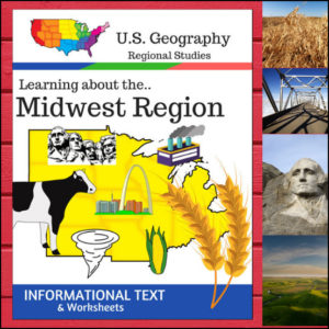
Welcome to the Heartland! This 16-page geography resource is a deep dive into the Midwest Region, providing students with a clear, “textbook-style” look at the states that power the nation’s agriculture and industry. From the Great Lakes to the Great Plains, your students will explore the unique identity of these 12 vital states.
To ensure your lessons meet official standards, this resource is designed according to the U.S. Census Bureau regional divisions, covering: Illinois, Indiana, Iowa, Kansas, Michigan, Minnesota, Missouri, Nebraska, North Dakota, Ohio, South Dakota, and Wisconsin.
🧠 The “How” and “Why” (Educational Benefits)
Why use this structured informational text approach? It builds a solid foundation for geographic literacy:
- Standardized Alignment: By following the U.S. Census Bureau definitions, you ensure your students are learning the most widely recognized regional classifications used in testing and higher education. ✅
- Comprehensive Categories: We don’t just look at a map; we dive into Land & Water, Climate, Products & Natural Resources, Landmarks, Culture, and Food. This gives students a “3D” understanding of the region. 🏗️🥧
- Built-in Assessment: The included worksheets and “State Name Unscramble” allow for immediate check-ins on student understanding without the need for extra prep.
🛠️ Ways to Use
- Main Curriculum Anchor: Use the informational text as the primary source for your Midwest unit. Its “textbook” feel makes it easy to read. 📖
- Independent Research Packets: This is a perfect “all-in-one” packet for independent study. Students can read the text and complete the questions at their own pace.
- Plans Made Simple: Since this includes the text, questions, and full answer keys, it’s a lifesaver to have for an easy, high-value geography day. 🍎
- Cross-Curricular Literacy: Use these pages during your ELA block to practice non-fiction reading skills like finding the main idea and supporting details.
📝 What’s Included:
- Textbook-Style Informational Text: Detailed sections on the geography, economy, and culture of the Midwest.
- Category-Specific Worksheets: Questions for every topic covered in the text.
- State Name Unscramble: A fun vocabulary and spelling challenge.
- Full Answer Keys: For quick, hassle-free grading! ✅
Pro Tip: To turn these facts into a beautiful keepsake, pair this unit with the US Geography – Midwest Scrapbooking Pages! Students can use the info they learn here to illustrate and write their own regional travel journals. 🎨
🚀 Explore the Heartland Today!
Give your students a structured and engaging way to look at U.S. Geography. Download the Regions of the U.S. – Midwest Region unit today and watch your students become experts on the American Midwest! 🗺️
⭐ This product is included in a $$$ SAVING BUNDLE: Regions of the U.S.A. | Geography Bundle


Reviews
There are no reviews yet.