
Tag: map reading
Showing the single result
-
 $8.75Add to Cart
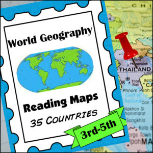
A comprehensive map-reading resource designed to help students develop essential navigation and analytical skills by focusing on 35 different countries.
Key Features:
-
Country-Specific Focus: For each country, students are given a map and asked specific questions that will require them to read the map to answer. (Questions may be things such as the location of the capital, naming rivers that are within or border the country, mountain ranges within the country, what nations border the country, etc.)
-
Critical Thinking Exercises: The worksheets go beyond simple identification, prompting students to solve navigation problems, determine cardinal directions, and estimate distances between major cities.
-
Integrated Learning: The resource connects physical geography with logical reasoning, helping students understand how environmental features like mountain ranges and bodies of water shape national landscapes and travel routes.
-
Ready-to-Use Answer Keys: The included answer keys make this an efficient tool for independent study, homeschooling, or classroom assessment.
Countries included: Algeria. Antarctica. Argentina. Australia. Bolivia. Brazil. Canada. Chile. China. Colombia. Ecuador. Egypt. Ethiopia. France. Ghana. Greece. Spain/Portugal. India. Iran. Iraq. Ireland. Italy, Japan, Kenya, Liberia, Libya, Madagascar, Mexico, Morocco, Nigeria, Peru, Russia, Saudi Arabia, South Africa, Uganda
This resource is an ideal addition to any social studies program, providing the structure needed for students to build confidence in reading maps and understanding global geography.
-