

Description
All-Access members do not pay for this or any resource.
Become an All-Access member today!
________________________
|
Get the MOST from My Teaching Library by connecting with us here: |

$4.50
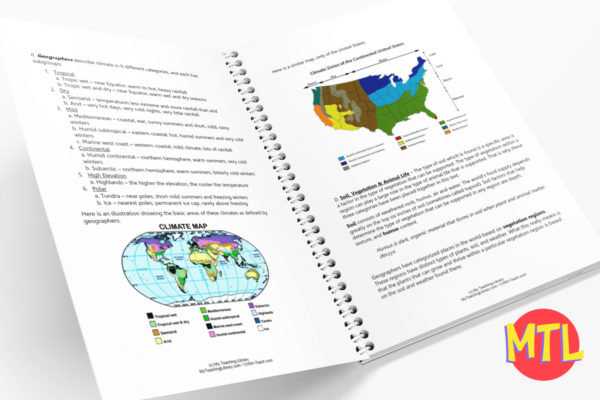
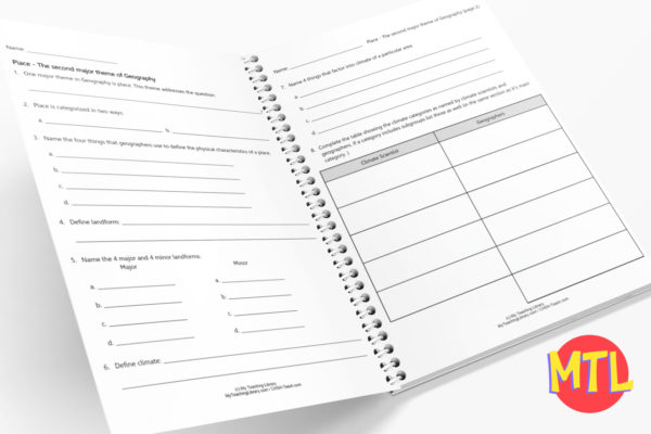
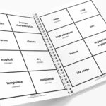
🌍 What makes a location unique? While Location tells us where something is, Place tells us what it’s actually like when you get there. This comprehensive unit focuses exclusively on the second pillar of geography, helping students distinguish between the natural world and the marks humans leave behind. 🏔️🏙️
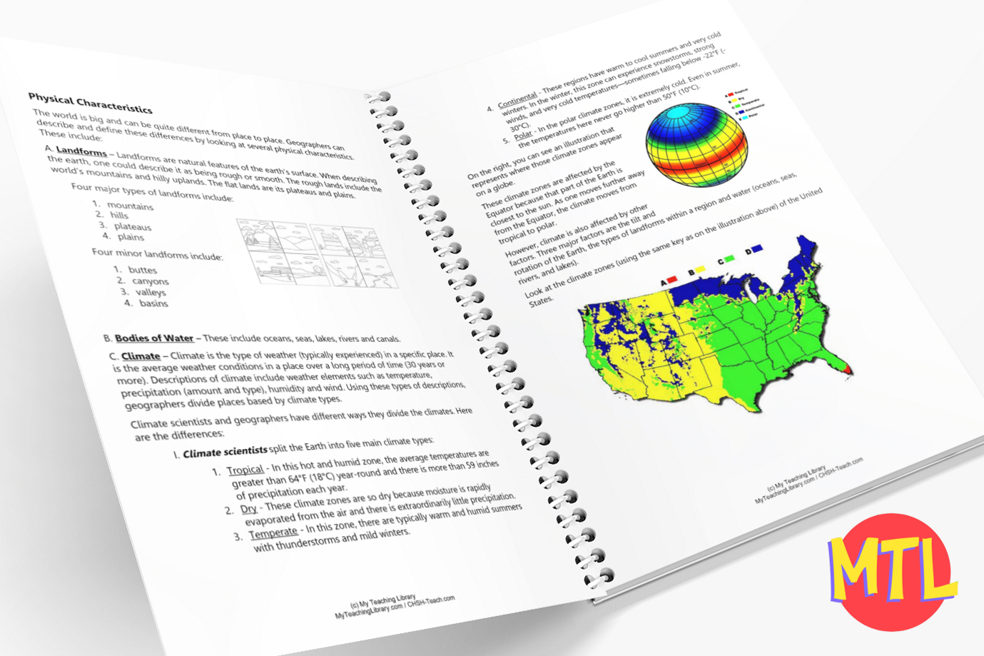
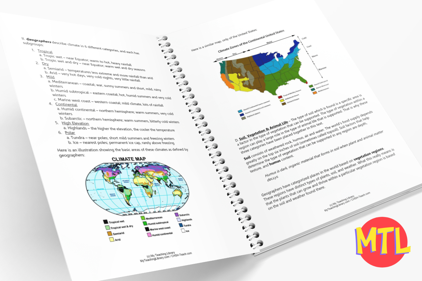
This resource dives deep into the “personality” of a location, breaking down the complex layers of Physical and Human characteristics that define our world.
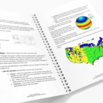
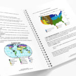
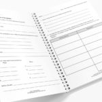
📦 What’s Included in This Resource?
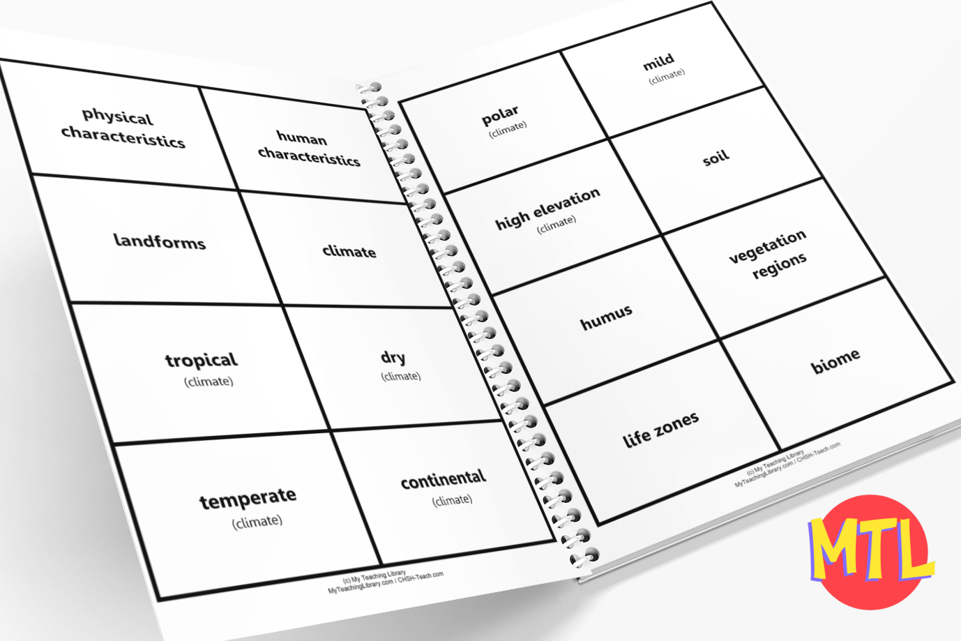
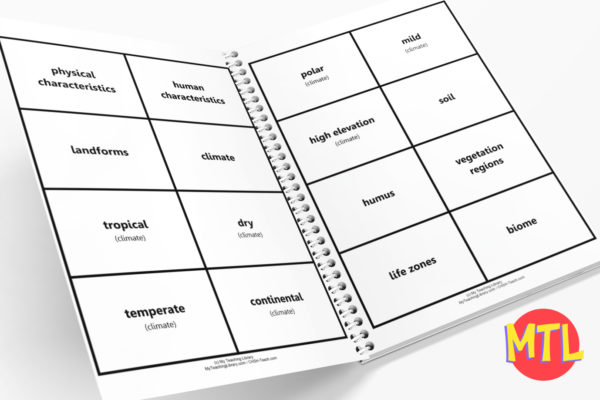
🧠 Vocabulary Covered
Students will master a robust set of geographic terms, including:
✨ Educational Benefits
🛠️ How to Use This Unit
🚀 Define Your World!
Stop just “locating” things on a map and start understanding what makes them special. Give your students the tools to analyze the world around them through the lens of geography.
Add to Cart / Download Now…and start your deep dive into Place today! 🌏✨
All-Access members do not pay for this or any resource.
Become an All-Access member today!
________________________
|
Get the MOST from My Teaching Library by connecting with us here: |
Only logged in customers who have purchased this product may leave a review.
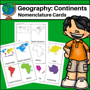
This resource, Continents – World Geography Nomenclature Cards, will help your students learn the shape of each of the seven continents!
Includes 2 sets:
– Color set for a Social Studies / Geography Center or for use on an interactive bulletin board
– B/W set to give each student there own ‘flash’ nomenclature cards
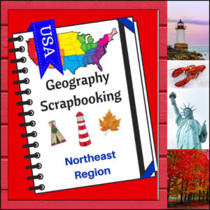
Turn your geography lessons into a creative travel adventure! As your students explore the historic and diverse Northeast region, these scrapbooking pages offer a dynamic way for them to document their “journey.” Instead of just memorizing facts, students become curators of their own learning, capturing the essence of the states from Maine down to Pennsylvania.
This 5-page set is designed to be the perfect companion to your regional studies, allowing students to blend artistic expression with factual writing.
🧠 The “How” and “Why” (Educational Benefits)
Why swap traditional worksheets for scrapbooking? It’s all about active synthesis:
🛠️ Creative Ways to Use These Pages
📝 What’s Included:
Pro Tip: This set is designed to pair perfectly with My Teaching Library’s Regions of the U.S. – Northeast Region | Informational Text and Worksheets for a complete, no-prep curriculum solution!
🚀 Start Your Northeast Adventure!
Transform your geography unit from dry facts into a vivid discovery! Download the Northeast Scrapbooking Pages today and give your students the creative space to show off what they know!✨
⭐ This product is included in a $$$ SAVING BUNDLE: Regions of the U.S.A. | Geography Bundle
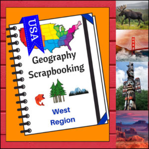
🏔️ Capture the spirit of the frontier and the beauty of the Pacific Coast with this hands-on, interactive geography resource! As your students explore the vast and varied Western region, these scrapbooking and notebooking pages provide the perfect canvas for them to document their discoveries. From the Rocky Mountains to the Hawaiian islands, students become active explorers of the American West!
This 5-page set is designed to be a flexible, creative companion to your geography curriculum, allowing students to blend factual research with their own artistic flair.
🧠 The “How” and “Why” (Educational Benefits)
Why incorporate scrapbooking into your geography lessons? It’s all about immersive learning:
🛠️ Creative Ways to Use These Pages
📝 What’s Included:
Pro Tip: For the ultimate learning experience, pair these pages with Regions of the U.S. – West Region | Informational Text and Worksheets. Students can use the facts they learn there to fill their scrapbooks with expert knowledge!
🚀 Head West with Your Students! Turn your geography unit into a creative adventure! Download the West Scrapbooking Pages today and watch your students bring the wonder of the Western United States to life on the page!
⭐ This product is included in a $$$ SAVING BUNDLE: Regions of the U.S.A. | Geography Bundle
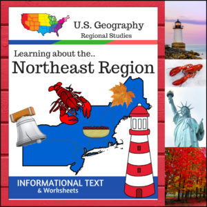
Take your students on a journey through the historic and rugged Northeast Region! This 12-page resource provides a comprehensive “textbook-style” experience without the bulk of a heavy manual. From the Appalachian Mountains to the bustling Atlantic harbors, students will explore the unique identity of this vital corner of the United States.
This resource is designed to be a “one-stop shop” for regional literacy, covering Land and Water, Climate, Products and Natural Resources, Landmarks, Culture, and Food.
🧠 The “How” and “Why” (Educational Benefits)
Why choose this informational text set? It’s built on proven instructional strategies:
🛠️ Ways to Use This in Your Classroom
📝 What’s Inside This 12-Page Resource:
Pro Tip: For the ultimate hands-on experience, pair this resource with the US Geography – Northeast Scrapbooking Pages! Students can use the facts they learn here to create their own beautiful regional journals.
🚀 Ready to Explore the Northeast?
Give your students a clear, structured, and engaging way to master U.S. Geography.
Add the Regions of the U.S. – Northeast Region to your curriculum today and start the adventure!
⭐ This product is included in a $$$ SAVING BUNDLE: Regions of the U.S.A. | Geography Bundle


Reviews
There are no reviews yet.