
Only logged in customers who have purchased this product may leave a review.
Products
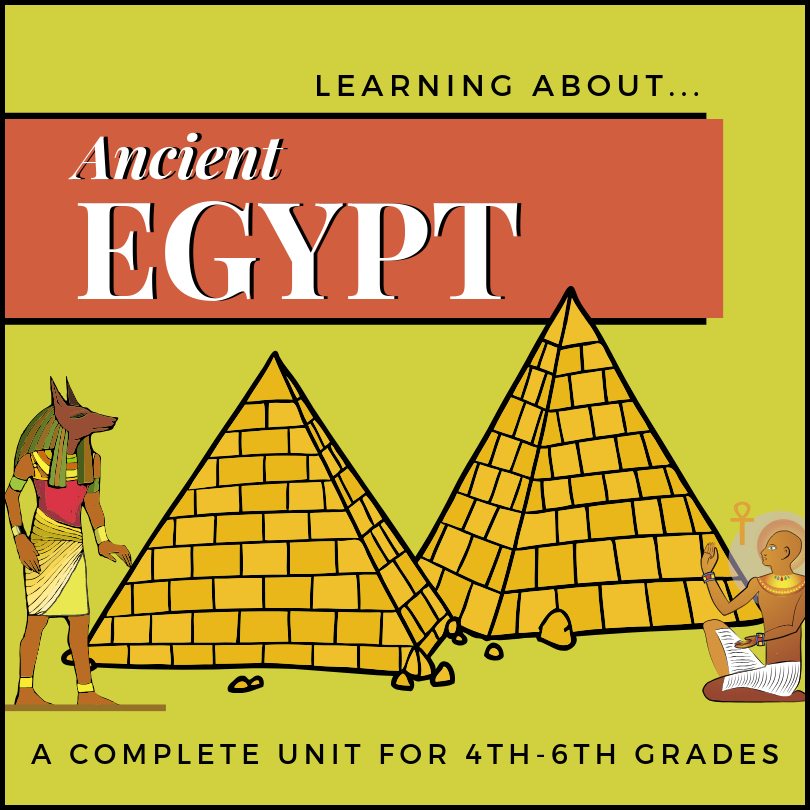
Ancient Egypt Unit for 4th-6th Grades
$4.99
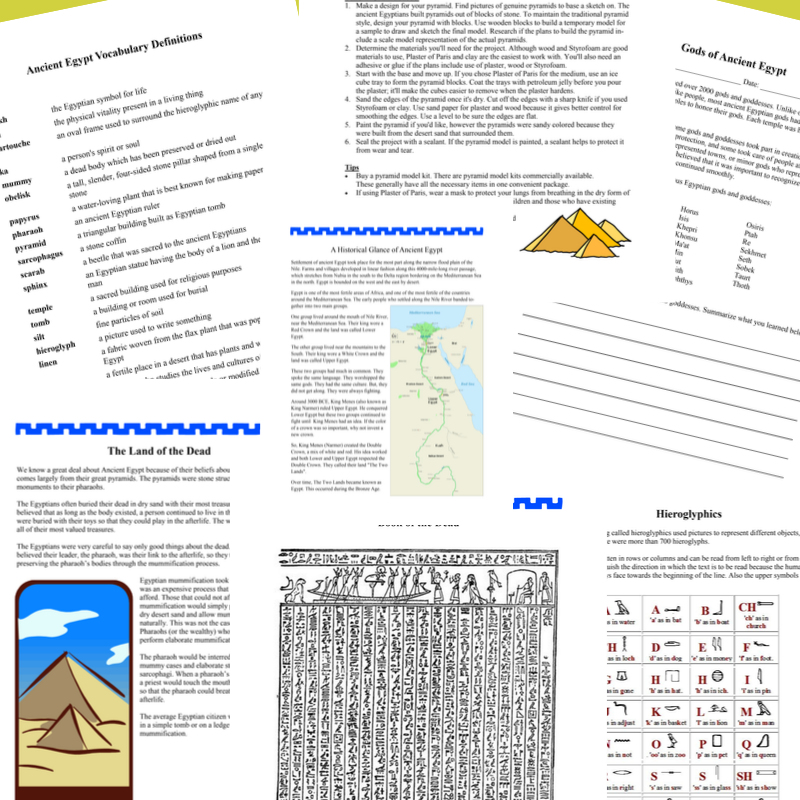
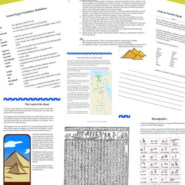
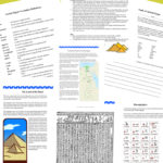
This unit on Ancient Egypt includes information on Egyptian history, time periods, beliefs around the afterlife, mummification, pharaohs, Book of the Dead, hieroglyphics, gods and goddesses and related vocabulary.
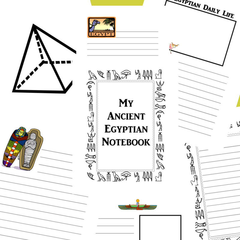
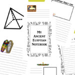
Work pages for students include reading comprehension, map work, timeline and diagram creation, research and summation, poetry, pyramid model building and more. Includes: Interactive Notebooking Project!
Related products
-
 $1.50Add to Cart
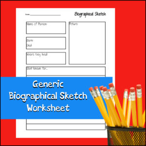
Students can use this worksheet again and again to record short biographies on any person for any subject. This worksheet can be used alone or as part of a larger report or notebooking project. Students can report on inventors, scientists, explorers, mathematicians, musicians, famous Americans, etc!
-
$3.00Add to Cart
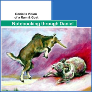
Chapter 8 in the book of Daniel tells of Daniel’s vision of a two-horned ram destroyed by a one-horned goat (a possible allegory for the transition from the Persian to the Greek eras in the Near East), followed by the history of the “little horn”, which is Daniel’s code-word for the Greek king Antiochus Epiphanes.
This notebooking resource has been designed for students to write about, give a report of, and comment on chapter 8 of the book of Daniel.
-
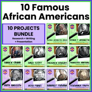
Famous African Americans – 10 Projects | Research – Writing – Presentation to Pinterest (opens in a new window)$27.00Add to Cart
✏️Student-centered units that includes 10 projects surrounding famous African American in U.S. History. These units will help students learn and practice research skills, report writing, project and presentation skills.
✏️Students will use these 10 project-based units to learn about and create reports and presentations on the following people:
- Sojourner Truth
- Frederick Douglass
- Harriet Tubman
- Dred Scott
- Barack Obama
- Booker T Washington
- George Washington Carver
- Thurgood Marshall
- Rosa Parks
- Maya Angelou
✏️These notebooking projects can be assigned individually or within cooperative groups. Use them within a Language Arts classroom or a Social Studies / U.S. History classroom. Very flexible and cross-curricular!
After completing the written portion of each resource, you can grade it (or) assign students to do an oral and/or audio-visual presentation based on their findings/work.
✏️What is in each unit?
- Student instructions for using biographical notebooking, project pages
- Suggested research questions
- Student notebooking, project pages (includes covers, KWL, reference recording, report writing, and more)
- Teacher pages (instructions, assignment, evaluation)
-
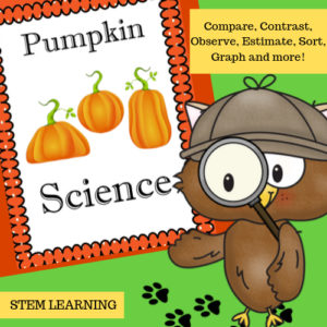
$3.00Add to CartPumpkin Science has several fun, hands-on activities that ask students to compare, contrast, observe, estimate, count, sort, investigate, graph and much more…Students can even create a Pumpkin Science Journal or use pages as notebooking pages.See more about this product in the description below.


Reviews
There are no reviews yet.