
&url=https://myteachinglibrary.com/product/u-s-state-map-outlines-usa-geography/&media=https://myteachinglibrary.com/wp-content/uploads/2019/08/wy-459-f.jpg)
Description
Use as clipart, as student work pages, for projects, bulletin boards and so much more!
$8.00
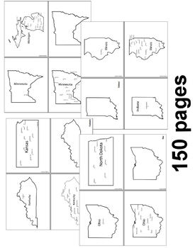
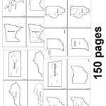
150 maps included in this download!
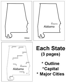
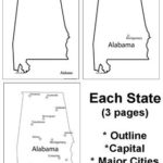
Each state has 3 pages / maps:
* Outline of the state
* Map showing the capital
* Map showing the major cities
Use as clipart, as student work pages, for projects, bulletin boards and so much more!
Only logged in customers who have purchased this product may leave a review.
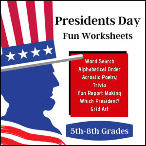
This resource is filled with fun activities for students to use whenever they are studying the presidents or for Presidents day! Activities include a word search, an acrostic poetry page, presidential trivia, a ‘Which President’ worksheet, two picture graphs (Washington and Lincoln) and report / notebooking pages. Answer Keys are provided!
Great for any classroom around Presidents Day in February (or) in a Government / Civics class (or) American History class anytime of the year. Designed for 5th, 6th, 7th, and 8th graders.
See description below for more info.
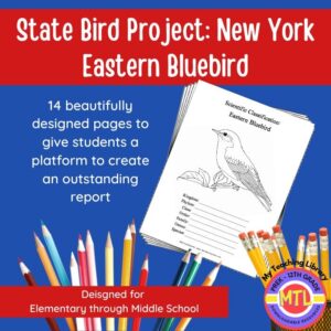
Studying the state of New York and state symbols? What is the state bird of New York?
This project-based unit is designed to help students study and record information about New York’s state bird: Eastern Bluebird
What type of pages are contained in this set:
– A map page (for the state)
– Scientific classification page
– A page for students to give details about the bird’s physical description, habitat, diet, life span and reproduction
– A page where students will do additional map work to show where in the U.S. the bird lives in addition to migration information
– Coloring page
– Several pages on which students can use for expository and/or creative writing as well as sections in which students may draw.
14 pages in all and is designed for different levels / abilities.
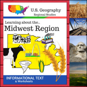
This Regions of the U.S. Geography resource is centered on the Midwest Region and contains textbook style informational text and related student worksheets with answer keys. Students will enjoy learning about this region studying the categories of Land and Water, Climate, Products and Natural Resources, Landmarks, Culture and Food.
Because the United States can be divided up into different regions, I’ve designed this resource to follow the regions as defined by the U.S. Census Bureau. The resource shows the states in the Midwest as being North Dakota, South Dakota, Nebraska, Kansas, Minnesota, Iowa, Missouri, Wisconsin, Illinois, Indiana, Michigan, Ohio
⭐ This product is included in a $$$ SAVING BUNDLE: Regions of the U.S.A. | Geography Bundle
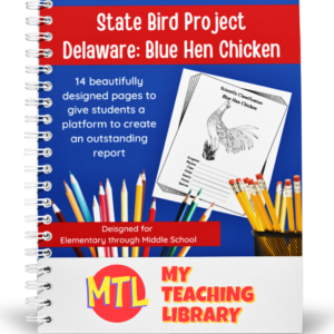
Studying the state of Delaware and state symbols? What is the state bird of Delaware?
This project-based unit is designed to help students study and record information about Delaware’s state bird: Delaware Blue Hen Chicken
What type of pages are contained in this set:
– A map page (for the state)
– Scientific classification page
– A page for students to give details about the bird’s physical description, habitat, diet, life span and reproduction
– A page where students will do additional map work to show where in the U.S. the bird lives in addition to migration information
– Coloring page
– Several pages on which students can use for expository and/or creative writing as well as sections in which students may draw.
14 pages in all and is designed for different levels / abilities.
My Teaching Library has a notebooking set for each of all 50 states. In addition, you can get all of them bundled!
Here are other bird related products you’ll love…
Reviews
There are no reviews yet.