


Description
Included Map worksheets:
- * Entire U.S. for students to label showing the 4 regions (Northeast, Midwest, South and West). They are also required to color each sub-region within the regions and create a color key.
- * Northeast Region Map – Students will label the states, identify the location and city name of each capital.
- * Midwest Region Map – Students will label the states, identify the location and city name of each capital.
- * South Region Map – Students will label the states, identify the location and city name of each capital.
- * West Region Map – Students will label the states, identify the location and city name of each capital.
- * National Map split into regions – Students are asked to label (and name) 2 National Parks within each region.
- * National Map with regional boundaries – Students are asked to draw and label the location of the major mountain ranges.
- * Northeast Map with state names: Students are asked to research and show 3 points of interest and write a short description of each.
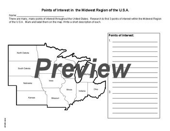
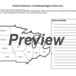
- * Midwest Map with state names: Students are asked to research and show 3 points of interest and write a short description of each.
- * South Map with state names: Students are asked to research and show 3 points of interest and write a short description of each.
- * West Map with state names: Students are asked to research and show 3 points of interest and write a short description of each.
- * Northeast Map no state names: Students are asked to complete a table with the following: State name / Abbreviation / Capital / Sub-region and then label each state with its abbreviation and mark the location of the capital.
- * Midwest Map no state names: Students are asked to complete a table with the following: State name / Abbreviation / Capital / Sub-region and then label each state with its abbreviation and mark the location of the capital.
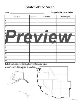
- * South Map no state names: Students are asked to complete a table with the following: State name / Abbreviation / Capital / Sub-region and then label each state with its abbreviation and mark the location of the capital.
- * West Map no state names: Students are asked to complete a table with the following: State name / Abbreviation / Capital / Sub-region and then label each state with its abbreviation and mark the location of the capital.


Reviews
There are no reviews yet.