


Only logged in customers who have purchased this product may leave a review.
Products
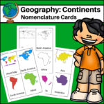
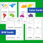
Continents – World Geography Nomenclature Cards
$2.00
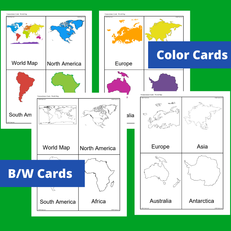
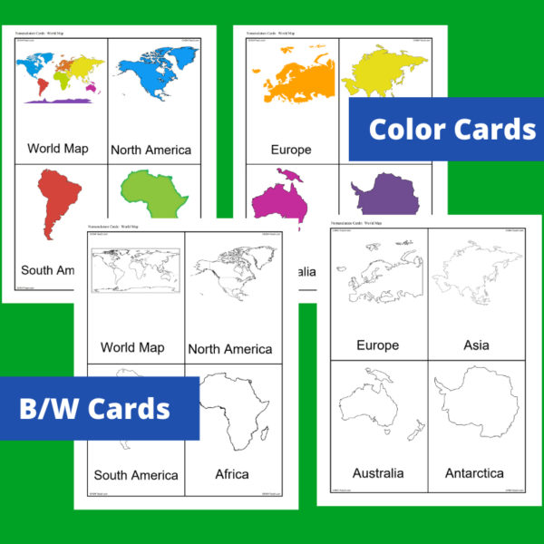
This resource, Continents – World Geography Nomenclature Cards, will help your students learn the shape of each of the seven continents!
Includes 2 sets:
– Color set for a Social Studies / Geography Center or for use on an interactive bulletin board
– B/W set to give each student there own ‘flash’ nomenclature cards
Related products
-
 $10.00Add to Cart
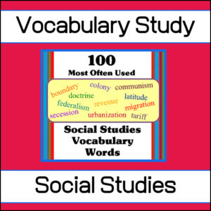
Help your students learn the 100 most often used words in Social Studies with this amazing, fun resource full of puzzles, games and worksheets. This is such an extensive resource (300+ pages) that it can be used year after year to reinforce student knowledge.
Recommended for 5th – 8th grades but would be an excellent review resource for High School students
See more details below…
-
$2.00Add to Cart
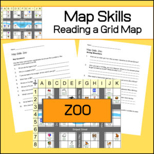
Students will practice reading a grid map and a map key with these zoo themed worksheets. Students will be given a grid map of a zoo and asked several questions requiring them read and navigate throughout the map. There are also two additional activities to extend learning (through writing and creative design). Answer Key included.
-
 $8.00Add to Cart
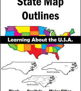
150 maps included in this download!
Each state has 3 pages / maps:
* Outline of the state
* Map showing the capital
* Map showing the major cities -
$3.50Add to Cart
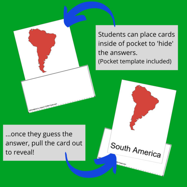
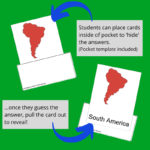
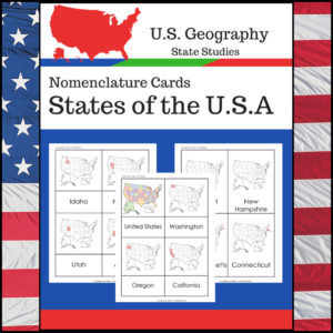
Students learning about individual U.S. States? This resource, Geography Nomenclature Cards – States of the U.S.A., will be a great addition to your classroom.
Includes two sets of State nomenclature cards PLUS pocket templates. Set one is best used with the pockets (see included photo). Set two can be used with or without the pockets. Students can use either (both) sets to study the location of each state. Students can also test themselves to see if they know the name of each state when shown the location!
&url=https://myteachinglibrary.com/product/u-s-state-map-outlines-usa-geography/&media=https://myteachinglibrary.com/wp-content/uploads/2019/08/wy-459-f.jpg)
Reviews
There are no reviews yet.