

Description
All-Access members do not pay for this or any resource. Become an All-Access member today!
 ________________________
|
Get the MOST from My Teaching Library by connecting with us here:
|

Original price was: $80.00.$70.00Current price is: $70.00.
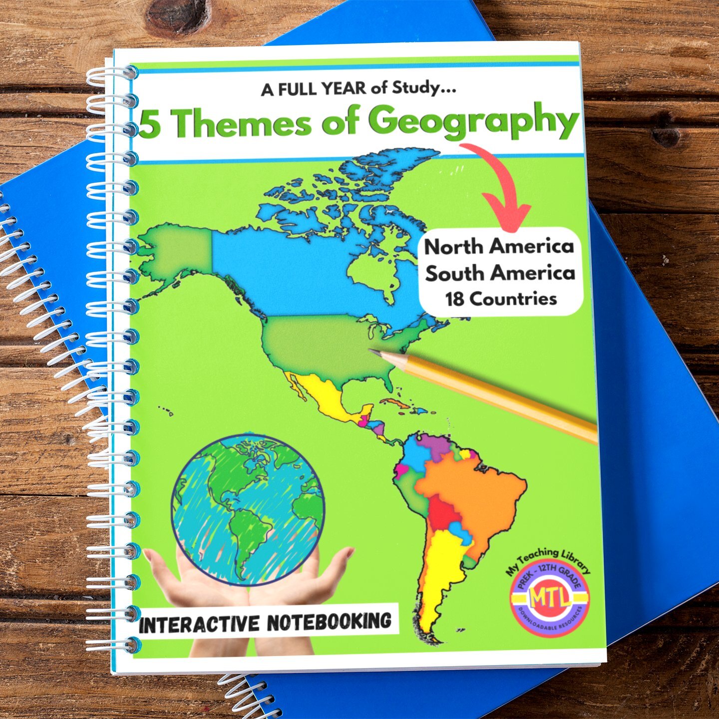
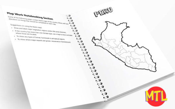
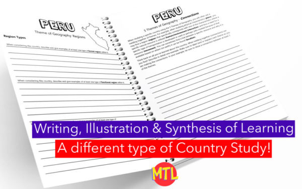
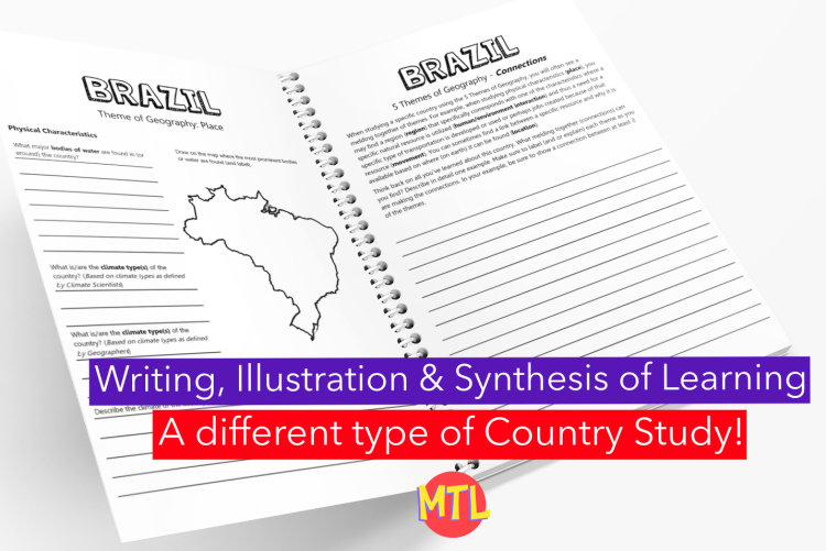
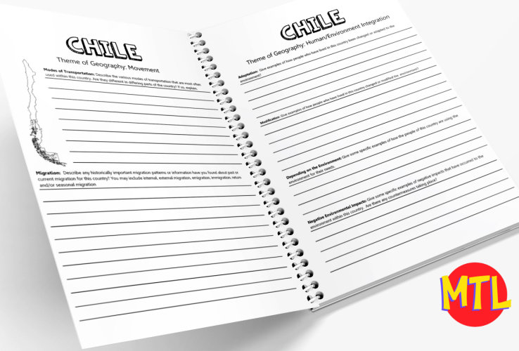
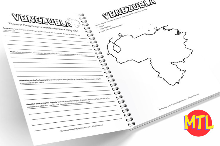
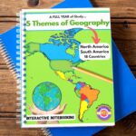
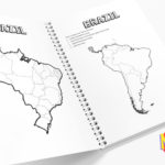
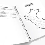
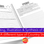
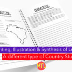
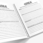
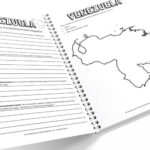
This bundle, “5 Themes of Geography Full Year Project-Based Bundle: North and South America,” is a comprehensive educational resource designed middle to high school educators and homeschooling families. It provides a modular, interactive approach to teaching geography by focusing on the 5 Themes of Geography across 18 countries in North and South America.
📦 What’s Inside the Bundle?
🌟 Benefits:
📅 Suggestions for Full-Year Use
🎓 Core Standards – This resource is structured around the 5 Themes of Geography (Location, Place, Regions, Movement, Human-Environment Interaction), which form the foundational core of social studies and geography curricula in North America. These themes help students develop spatial awareness, understand human-environment relationships, and analyze the interconnectedness of global communities
Included Countries:
South America
North America
ANSWER GUIDE included: A 5-page answer guide for each country is provided. Data used in the answer guide was updated in 2026. The guide is merely a “guide” as data may change. Not only will countries have population change but other changes may occur (government overthrows, change in currency, etc.) Map work is not addressed in the guide. There are questions within the resource that ask for students to give their opinions and thoughts. The guide will provide ideas (possible answers) but student answers will greatly vary often determined by the resources students use to gather their answers. This is a project / research-based resource.
Prerequisite: A good understanding of the 5 Themes of Geography. If not already studied, students may use: Understanding the 5 Themes of Geography BUNDLE
All-Access members do not pay for this or any resource. Become an All-Access member today!
________________________
|
Get the MOST from My Teaching Library by connecting with us here:
|
Only logged in customers who have purchased this product may leave a review.
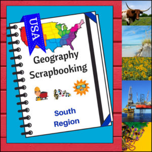
Turn your geography lessons into a creative travel adventure! As your students explore land of hospitality, diverse landscapes, and rich history of the South region, these scrapbooking pages offer a dynamic way for them to document their “journey.” Instead of just memorizing facts, students become curators of their own learning, capturing the essence of the states from West Virginia down to Florida and over to Texas.
This 5-page set is designed to be the perfect companion to your regional studies, allowing students to blend artistic expression with factual writing.
🧠 The “How” and “Why” (Educational Benefits)
Why swap traditional worksheets for scrapbooking? It’s all about active synthesis:
🛠️ Creative Ways to Use These Pages
📝 What’s Included:
Pro Tip: This set is designed to pair perfectly with My Teaching Library’s Regions of the U.S. – South Region | Informational Text and Worksheets for a complete, no-prep curriculum solution!
🚀 Start Your South Adventure!
Transform your geography unit from dry facts into a vivid discovery! Download the South Scrapbooking Pages today and give your students the creative space to show off what they know!✨
Use as a stand-alone product or use with My Teaching Library’s Regions of the U.S. – South Region – Informational Text and Worksheets
⭐ This product is included in a $$$ SAVING BUNDLE: Regions of the U.S.A. | Geography Bundle
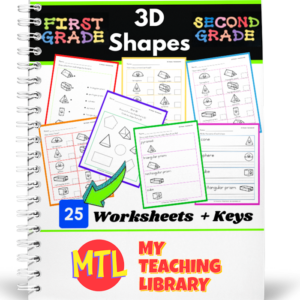
Teach students the names and attributes of ten 3D shapes. Students will also be asked to distinguish between 2D and 3D shapes with this resource! Shapes include the cube, sphere, cone, rectangular prism, triangular prism, hexagonal prism, pentagonal prism, pyramid, cylinder, hemisphere
What you get in the resource:
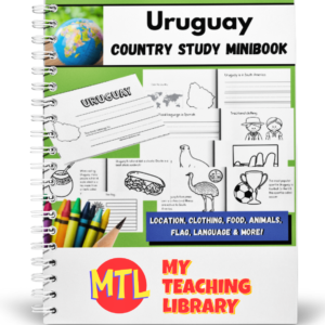
Help students K-2nd grade learn about the culture of the South American country of Uruguay while they create a 12 page mini-book!
Students will learn about the country’s location, official language, traditional clothing, animals, food and more! There are two pages of copy work to practice handwriting and plenty of pictures to color while they are learning about the cultural highlights of the country. Use alone or with My Teaching Library’s other country study minibooks!
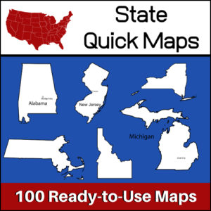
100 U.S. State outline maps – 2 maps for each state on one page:
Maps can be used for projects, bulletin boards, lesson plans and presentations.
Non-commercial use only.


Reviews
There are no reviews yet.