
Description
All-Access members do not pay for this or any resource. Become an All-Access member today!
________________________
|
Get the MOST from My Teaching Library by connecting with us here: |

$5.00
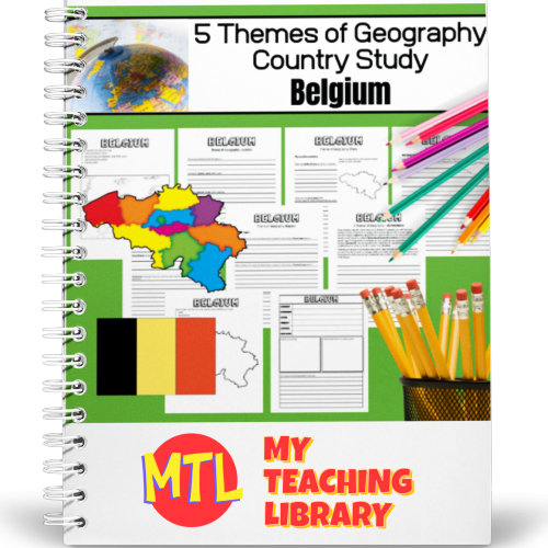
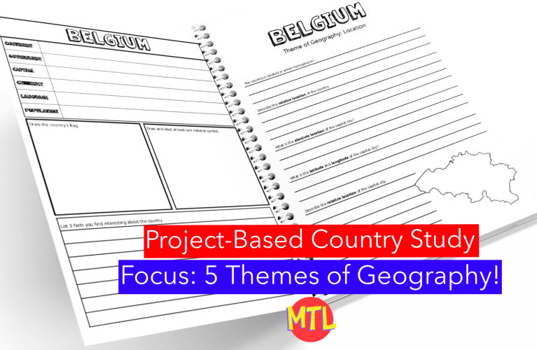
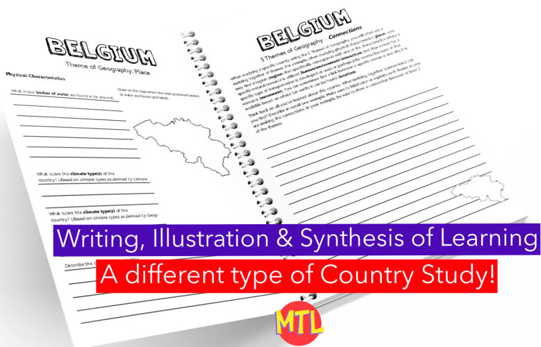
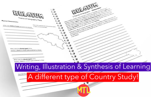
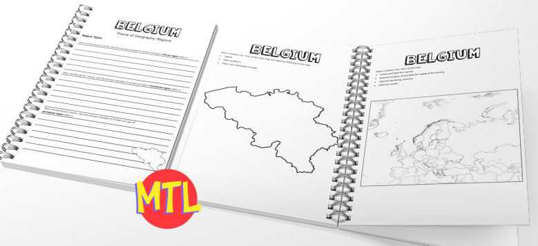
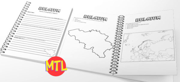
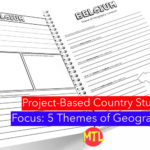
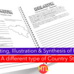
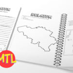
This is a country study resource on the European country of Belgium focusing on the 5 Themes of Geography: location, place, regions, movement and human/environment integration! There are a lot of country studies but this one is different.
This study will ask students to ‘think like a geographer‘ in their research and recording. Using this resource, students will…
Sample questions include:
There are many more questions and this unit is designed to get your students thinking like a geographer!!
Students will need to have a good understanding of the 5 Themes of Geography to complete this project. Need teaching materials for the 5 Themes? Get My Teaching Library’s 5 Themes of Geography Bundle
All-Access members do not pay for this or any resource. Become an All-Access member today!
________________________
|
Get the MOST from My Teaching Library by connecting with us here: |
Only logged in customers who have purchased this product may leave a review.
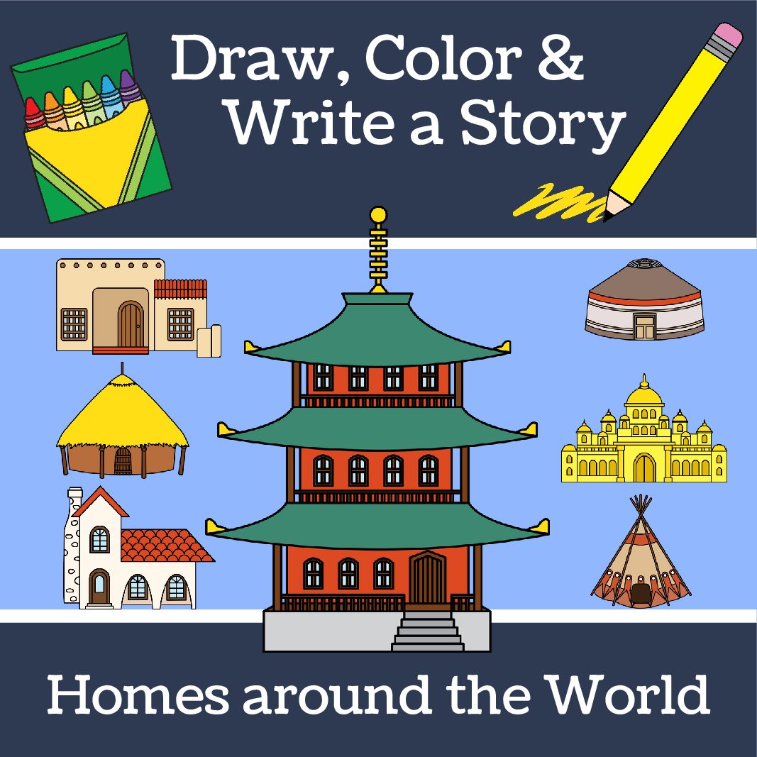
As students learn about different types of ‘homes’ throughout the world and history, this is a perfect resource to incorporate into your lesson plans. It includes 9 worksheets. Each will display a different type of home. Students are asked to ‘add to the picture, color and write a story.’
Types of homes included:
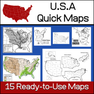
15 ready-to-use maps of the United States. Use for class projects, to create lessons or presentations.
Non-commercial use only.
Includes:
– 2 maps showing the US within North America
– US maps (with states names and unnamed)
– US regional maps (with states names and unnamed)
– US east of the Mississippi (with states names and unnamed)
– US west of the Mississippi (with states names and unnamed)
– Physical Maps of the US (color and b/w)
– The Mississippi River with tributaries (states named)
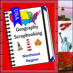
Turn your geography lessons into a creative travel adventure! As your students explore the historic and diverse Northeast region, these scrapbooking pages offer a dynamic way for them to document their “journey.” Instead of just memorizing facts, students become curators of their own learning, capturing the essence of the states from Maine down to Pennsylvania.
This 5-page set is designed to be the perfect companion to your regional studies, allowing students to blend artistic expression with factual writing.
🧠 The “How” and “Why” (Educational Benefits)
Why swap traditional worksheets for scrapbooking? It’s all about active synthesis:
🛠️ Creative Ways to Use These Pages
📝 What’s Included:
Pro Tip: This set is designed to pair perfectly with My Teaching Library’s Regions of the U.S. – Northeast Region | Informational Text and Worksheets for a complete, no-prep curriculum solution!
🚀 Start Your Northeast Adventure!
Transform your geography unit from dry facts into a vivid discovery! Download the Northeast Scrapbooking Pages today and give your students the creative space to show off what they know!✨
⭐ This product is included in a $$$ SAVING BUNDLE: Regions of the U.S.A. | Geography Bundle
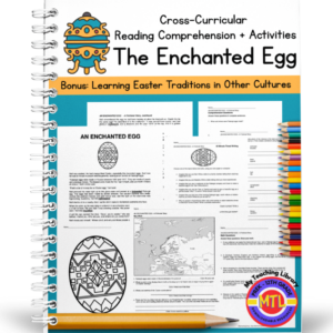
A cross-curricular (Reading/Language Arts – Math – Geography – Writing – Art) resource that students will enjoy, specifically in the Spring just before Easter. The unit begins with a fictional story called, “The Enchanted Egg” The story begins as a boy named, Neil is visiting an art museum with his parents and for the first time sees a Fabergé egg. It is a fun, delightful story as Neil ‘blacks out’ and ends up in 1910 Russia! Along the way, he learns about Easter traditions in Russia, France, Austria, Italy, Bermuda and other countries!
Includes the following activities for students to complete after reading:
1. Reading comprehension (short answer)
2. Math word problems
3. Synonyms for the following words: lightheaded, squabble, scintillate, intricate, enchanting, banquet, bejeweled, mystified, encrust, trelliswork, mourning, figurine
4. Timed writing with 9 given prompts (example prompt: Imagine that you are a craftsman at the Fabergé company and have to make a beautiful egg for the Tsar. Write about it!)
5. Story vocabulary (sentence writing)
6. Geography: Europe – map work
7. Art
8. Coloring
Answer keys provided


Reviews
There are no reviews yet.