


Description
All-Access members do not pay for this or any resource. Become an All-Access member today!
________________________
|
Get the MOST from My Teaching Library by connecting with us here: |
$5.00
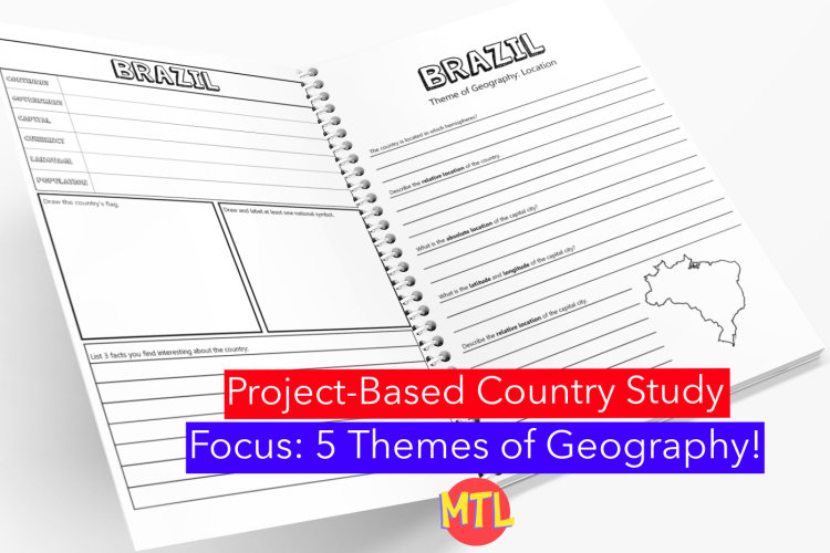
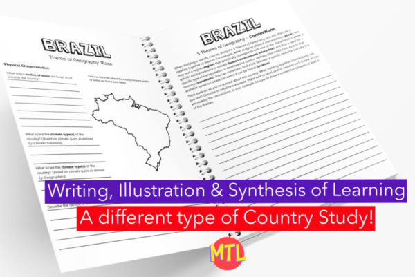
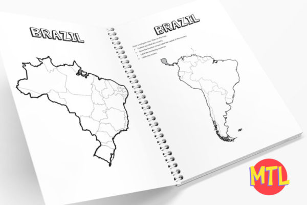
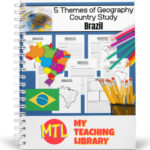
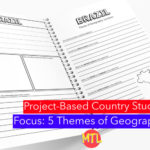
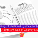
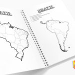
This is a country study resource on the South American country of Brazil focusing on the 5 Themes of Geography! There are a lot of country studies but this one is different.
This study will ask students to ‘think like a geographer‘ in their research and recording. Using this resource, students will…
Sample questions include:
There are many more questions and this unit is designed to get your students thinking like a geographer!!
Students will need to have a good understanding of the 5 Themes of Geography to complete this project. Need teaching materials for the 5 Themes? Get My Teaching Library’s 5 Themes of Geography Bundle
All-Access members do not pay for this or any resource. Become an All-Access member today!
________________________
|
Get the MOST from My Teaching Library by connecting with us here: |
Only logged in customers who have purchased this product may leave a review.
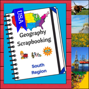
Turn your geography lessons into a creative travel adventure! As your students explore land of hospitality, diverse landscapes, and rich history of the South region, these scrapbooking pages offer a dynamic way for them to document their “journey.” Instead of just memorizing facts, students become curators of their own learning, capturing the essence of the states from West Virginia down to Florida and over to Texas.
This 5-page set is designed to be the perfect companion to your regional studies, allowing students to blend artistic expression with factual writing.
🧠 The “How” and “Why” (Educational Benefits)
Why swap traditional worksheets for scrapbooking? It’s all about active synthesis:
🛠️ Creative Ways to Use These Pages
📝 What’s Included:
Pro Tip: This set is designed to pair perfectly with My Teaching Library’s Regions of the U.S. – South Region | Informational Text and Worksheets for a complete, no-prep curriculum solution!
🚀 Start Your South Adventure!
Transform your geography unit from dry facts into a vivid discovery! Download the South Scrapbooking Pages today and give your students the creative space to show off what they know!✨
Use as a stand-alone product or use with My Teaching Library’s Regions of the U.S. – South Region – Informational Text and Worksheets
⭐ This product is included in a $$$ SAVING BUNDLE: Regions of the U.S.A. | Geography Bundle
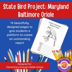
Studying the state of Maryland and state symbols? What is the state bird of Maryland?
This project-based unit is designed to help students study and record information about Maryland’s state bird: Baltimore Oriole
What type of pages are contained in this set:
– A map page (for the state)
– Scientific classification page
– A page for students to give details about the bird’s physical description, habitat, diet, life span and reproduction
– A page where students will do additional map work to show where in the U.S. the bird lives in addition to migration information
– Coloring page
– Several pages on which students can use for expository and/or creative writing as well as sections in which students may draw.
14 pages in all and is designed for different levels / abilities.
My Teaching Library has a notebooking set for each of all 50 states. In addition, you can get all of them bundled!
Here are other bird related products you’ll love…
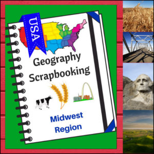
🌽 Bring the “Heartland” to life with this creative, hands-on geography resource! As your students explore the Midwest region, these scrapbooking pages provide a structured yet artistic way for them to document their discoveries. From the Great Lakes to the rolling prairies, students will transition from passive readers to active explorers as they curate their own regional “travel log.”
This 5-page set is designed to be a flexible companion to any geography curriculum, allowing students to combine factual research with personal expression.
🧠 The “How” and “Why” (Educational Benefits)
Why choose scrapbooking for geography? It’s all about engaging the whole learner:
🛠️ Ways to Use These Pages in Your Classroom
📝 What’s Included:
Pro Tip: This set is designed to pair perfectly with Regions of the U.S. – Midwest Region | Informational Text and Worksheets for a comprehensive, ready-to-go geography unit!
🚀 Start the Heartland Adventure!
Turn geography into a keepsake! Download the Midwest Scrapbooking Pages today and give your students a creative way to master the map!
⭐ This product is included in a $$$ SAVING BUNDLE: Regions of the U.S.A. | Geography Bundle
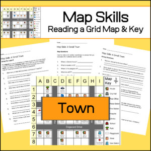
Students will be given a grid map and key of a small town and asked several questions requiring them read and navigate throughout the map. There are also two additional activities to extend learning (through writing and creative design). Answer Key included.
Reviews
There are no reviews yet.