Description
All-Access members do not pay for this or any resource. Become an All-Access member today!
________________________
|
Get the MOST from My Teaching Library by connecting with us here: |
$5.00
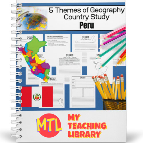
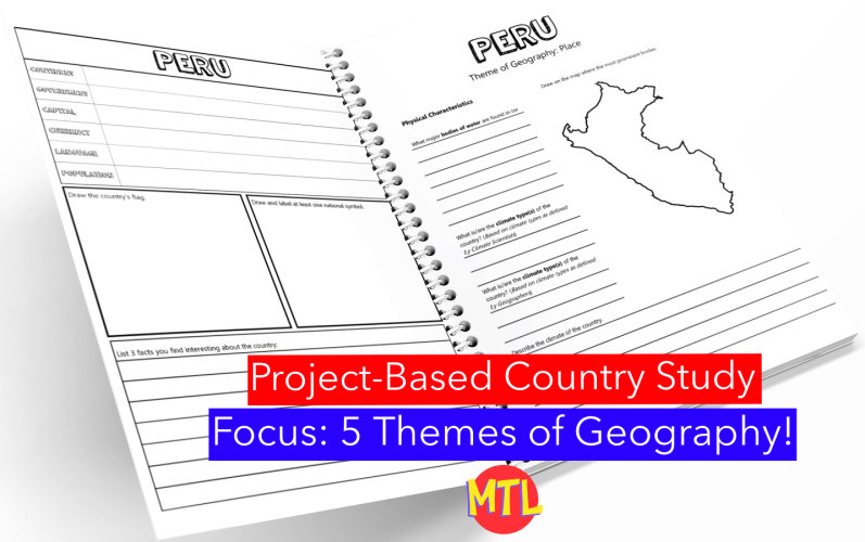
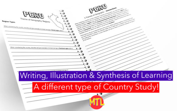
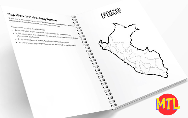
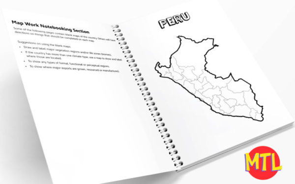
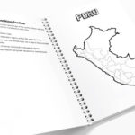
This is a country study resource on the South American country of Peru focusing on the 5 Themes of Geography! There are a lot of country studies but this one is different.
This study will ask students to ‘think like a geographer‘ in their research and recording. Using this resource, students will…
Sample questions include:
There are many more questions and this unit is designed to get your students thinking like a geographer!!
All-Access members do not pay for this or any resource. Become an All-Access member today!
________________________
|
Get the MOST from My Teaching Library by connecting with us here: |

Only logged in customers who have purchased this product may leave a review.
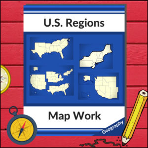
Take your students on a journey through the historic and rugged Northeast Region! This 12-page resource provides a comprehensive “textbook-style” experience without the bulk of a heavy manual. From the Appalachian Mountains to the bustling Atlantic harbors, students will explore the unique identity of this vital corner of the United States.
This resource is designed to be a “one-stop shop” for regional literacy, covering Land and Water, Climate, Products and Natural Resources, Landmarks, Culture, and Food.
🧠 The “How” and “Why” (Educational Benefits)
Why choose this informational text set? It’s built on proven instructional strategies:
🛠️ Ways to Use This in Your Classroom
📝 What’s Inside This 12-Page Resource:
Pro Tip: For the ultimate hands-on experience, pair this resource with the US Geography – Northeast Scrapbooking Pages! Students can use the facts they learn here to create their own beautiful regional journals.
🚀 Ready to Explore the Northeast?
Give your students a clear, structured, and engaging way to master U.S. Geography.
Add the Regions of the U.S. – Northeast Region to your curriculum today and start the adventure!
⭐ This product is included in a $$$ SAVING BUNDLE: Regions of the U.S.A. | Geography Bundle

Get ready to explore the land of hospitality, diverse landscapes, and rich history! This 15-page resource offers a comprehensive, “textbook-style” deep dive into the South Region. From the sunny coasts of Florida to the rolling hills of West Virginia and the plains of Texas, your students will get a full-flavor look at what makes the South unique.
Designed to align with the U.S. Census Bureau divisions, this unit ensures your students are learning geography based on official standards.
🧠 The “How” and “Why” (Educational Benefits)
Why add this to your lesson plan? It’s designed to move students from passive readers to active thinkers:
🛠️ Creative Ways to Use This Resource
📝 What’s Inside This 15-Page Resource:
Pro Tip: To turn this into a full hands-on project, pair it with the US Geography – South Scrapbooking Pages! Students can use the facts from this text to illustrate and curate their very own Southern travel journal.
🚀 Bring the South to Your Classroom!
Stop searching for scattered facts and give your students a structured, engaging path to geographic mastery. Download the Regions of the U.S. – South Region today and start exploring! 🗺️✨
⭐ This product is included in a $$$ SAVING BUNDLE: Regions of the U.S.A. | Geography Bundle

Turn your geography lessons into a creative travel adventure! As your students explore the historic and diverse Northeast region, these scrapbooking pages offer a dynamic way for them to document their “journey.” Instead of just memorizing facts, students become curators of their own learning, capturing the essence of the states from Maine down to Pennsylvania.
This 5-page set is designed to be the perfect companion to your regional studies, allowing students to blend artistic expression with factual writing.
🧠 The “How” and “Why” (Educational Benefits)
Why swap traditional worksheets for scrapbooking? It’s all about active synthesis:
🛠️ Creative Ways to Use These Pages
📝 What’s Included:
Pro Tip: This set is designed to pair perfectly with My Teaching Library’s Regions of the U.S. – Northeast Region | Informational Text and Worksheets for a complete, no-prep curriculum solution!
🚀 Start Your Northeast Adventure!
Transform your geography unit from dry facts into a vivid discovery! Download the Northeast Scrapbooking Pages today and give your students the creative space to show off what they know!✨
⭐ This product is included in a $$$ SAVING BUNDLE: Regions of the U.S.A. | Geography Bundle

A comprehensive map-reading resource designed to help students develop essential navigation and analytical skills by focusing on 35 different countries.
Key Features:
Country-Specific Focus: For each country, students are given a map and asked specific questions that will require them to read the map to answer. (Questions may be things such as the location of the capital, naming rivers that are within or border the country, mountain ranges within the country, what nations border the country, etc.)
Critical Thinking Exercises: The worksheets go beyond simple identification, prompting students to solve navigation problems, determine cardinal directions, and estimate distances between major cities.
Integrated Learning: The resource connects physical geography with logical reasoning, helping students understand how environmental features like mountain ranges and bodies of water shape national landscapes and travel routes.
Ready-to-Use Answer Keys: The included answer keys make this an efficient tool for independent study, homeschooling, or classroom assessment.
Countries included: Algeria. Antarctica. Argentina. Australia. Bolivia. Brazil. Canada. Chile. China. Colombia. Ecuador. Egypt. Ethiopia. France. Ghana. Greece. Spain/Portugal. India. Iran. Iraq. Ireland. Italy, Japan, Kenya, Liberia, Libya, Madagascar, Mexico, Morocco, Nigeria, Peru, Russia, Saudi Arabia, South Africa, Uganda
This resource is an ideal addition to any social studies program, providing the structure needed for students to build confidence in reading maps and understanding global geography.
You're about to use our sticky note tool to submit website requests to our team. Click the "Accept" button to download a cookie that will authorize you to see and use the tool on this device.
To leave a Sticky note, click the comment button and then click anywhere on the page.
We couldn't activate the sticky note tool. Please reload the page and try again — if it keeps happening, let your site contact know.
To improve your experience, this site uses essential cookies to create a better experience for you.
We use cookies to improve your experience. You will find detailed information about all cookies under each consent category below.
Necessary cookies are required to enable the basic features of this site, such as providing secure log-in or adjusting your consent preferences. These cookies do not store any personally identifiable data.
Analytical cookies are used to understand how visitors interact with the website. These cookies help provide information on metrics such as the number of visitors, bounce rate, traffic source, etc.
Advertisement cookies are used to provide visitors with customised advertisements based on the pages you visited previously and to analyse the effectiveness of the ad campaigns.
Functional cookies help perform certain functionalities like sharing the content of the website on social media platforms, collecting feedback, and other third-party features.


Reviews
There are no reviews yet.