Category: Geography
Showing 21–29 of 29 resultsSorted by latest
-
 $5.00Buy Now
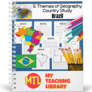
This is a country study resource on the South American country of Brazil focusing on the 5 Themes of Geography! There are a lot of country studies but this one is different.
This study will ask students to ‘think like a geographer‘ in their research and recording. Using this resource, students will…
- – Learn about the country of Brazil
- – Demonstrate knowledge of and ability to synthesize information and write about Brazil through a 5 themes of geography lens.
- – Create a wonderful project displaying their learning.
Sample questions include:
- – (Location) Describe the relative location of the country.
- – (Location) What is the latitude and longitude of the capital city?
- – (Place) What major landforms are found in the country?
- – (Place) What is/are the climate type(s) of the country?
- – (Regions) When considering this country, describe and give examples of at least one type of functional region within it.
- – (Movement) Describe any historically important migration patterns of information you have found about past or current migration for this country. You may include internal, external migration, emigration, immigration, return and/or seasonal migration.
- (Human/Environmental Integration) Give examples of how people who have lived in this country changed or modified the environment.
There are many more questions and this unit is designed to get your students thinking like a geographer!!
Students will need to have a good understanding of the 5 Themes of Geography to complete this project. Need teaching materials for the 5 Themes? Get My Teaching Library’s 5 Themes of Geography Bundle
-
 $5.00Buy Now
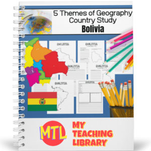
This is a country study resource on South American country of Bolivia focusing on the 5 Themes of Geography! There are a lot of country studies but this one is different.
This study will ask students to ‘think like a geographer‘ in their research and recording. Using this resource, students will…
- – Learn about the country of Bolivia
- – Demonstrate knowledge of and ability to synthesize information and write about Bolivia through a 5 themes of geography lens.
- – Create a wonderful project displaying their learning.
Sample questions include:
- – (Location) Describe the relative location of the country.
- – (Location) What is the latitude and longitude of the capital city?
- – (Place) What major landforms are found in the country?
- – (Place) What is/are the climate type(s) of the country?
- – (Regions) When considering this country, describe and give examples of at least one type of functional region within it.
- – (Movement) Describe any historically important migration patterns of information you have found about past or current migration for this country. You may include internal, external migration, emigration, immigration, return and/or seasonal migration.
- (Human/Environmental Integration) Give examples of how people who have lived in this country changed or modified the environment.
There are many more questions and this unit is designed to get your students thinking like a geographer!!
Students will need to have a good understanding of the 5 Themes of Geography to complete this project. Need teaching materials for the 5 Themes? Get My Teaching Library’s 5 Themes of Geography Bundle
-
 $5.00Buy Now
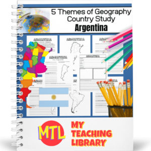
This is a project-based notebooking country study resource with a focus on the 5 Themes of Geography. There are a lot of country studies but this one is different!
This study will ask students to ‘think like a geographer‘ in their research and recording. By the end of the study, students will have learned about the country, their knowledge of the 5 themes will have been reinforced and they will have created a wonderful project displaying their learning.
Using this resource, students will…
- Learn about the country of Argentina
- Demonstrate knowledge of and ability to synthesize information and write about Argentina through a 5 themes of geography lens.
- Create a wonderful project displaying their learning.
Sample questions include:
- – (Location) Describe the relative location of the country.
- – (Location) What is the latitude and longitude of the capital city?
- – (Place) What major landforms are found in the country?
- – (Place) What is/are the climate type(s) of the country?
- – (Regions) When considering this country, describe and give examples of at least one type of functional region within it.
- – (Movement) Describe any historically important migration patterns of information you have found about past or current migration for this country. You may include internal, external migration, emigration, immigration, return and/or seasonal migration.
- (Human/Environmental Integration) Give examples of how people who have lived in this country changed or modified the environment.
There are many more questions and this unit is designed to get your students thinking like a geographer!!
Students will need to have a good understanding of the 5 Themes of Geography to complete this project. Need teaching materials for the 5 Themes? Get My Teaching Library’s 5 Themes of Geography Bundle
-
 $1.50Buy Now
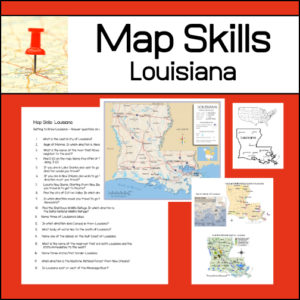
Learning to read different types of maps is a vital skill for students to learn and practice. With this resource, students will be given several maps and questions to answer using the maps. Maps and questions all center around the state of Louisiana.
-
 $3.00Buy Now
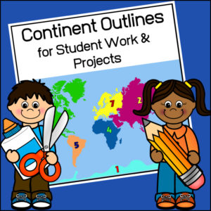
This resource, Continent Outlines for Student Work and Projects, contains 14 pages of continent outlines (7 labeled, 7 unlabeled). This is not clipart but ready to use outlines, just print and give to students to use however they need to!
-
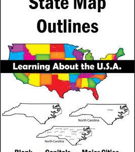 $8.00Buy Now
150 maps included in this download!
Each state has 3 pages / maps:
* Outline of the state
* Map showing the capital
* Map showing the major cities -
 $2.50Buy Now
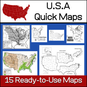
15 ready-to-use maps of the United States. Use for class projects, to create lessons or presentations.
Non-commercial use only.Includes:
– 2 maps showing the US within North America
– US maps (with states names and unnamed)
– US regional maps (with states names and unnamed)
– US east of the Mississippi (with states names and unnamed)
– US west of the Mississippi (with states names and unnamed)
– Physical Maps of the US (color and b/w)
– The Mississippi River with tributaries (states named) -
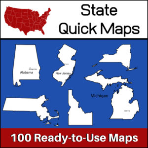 $5.00Buy Now
100 U.S. State outline maps – 2 maps for each state on one page:
- – Completely blank outline map
- – An outline with the state name and capital
Maps can be used for projects, bulletin boards, lesson plans and presentations.
Non-commercial use only.
&url=https://myteachinglibrary.com/product/u-s-state-map-outlines-usa-geography/&media=https://myteachinglibrary.com/wp-content/uploads/2019/08/wy-459-f.jpg)