
Only logged in customers who have purchased this product may leave a review.
Products
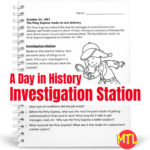
A Day in History – Investigation Station | October 24 Pony Express
$1.00
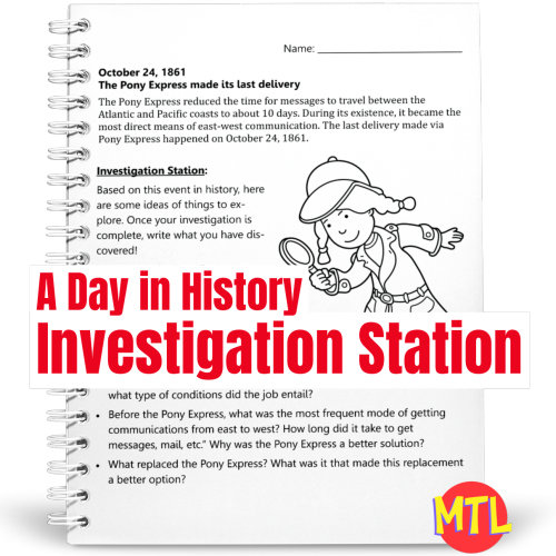
A Day in History – Investigation Station is a series of fun sleuthing research and writing activities based on a single event on a specific day in history! This resource focuses on the Pony Express.
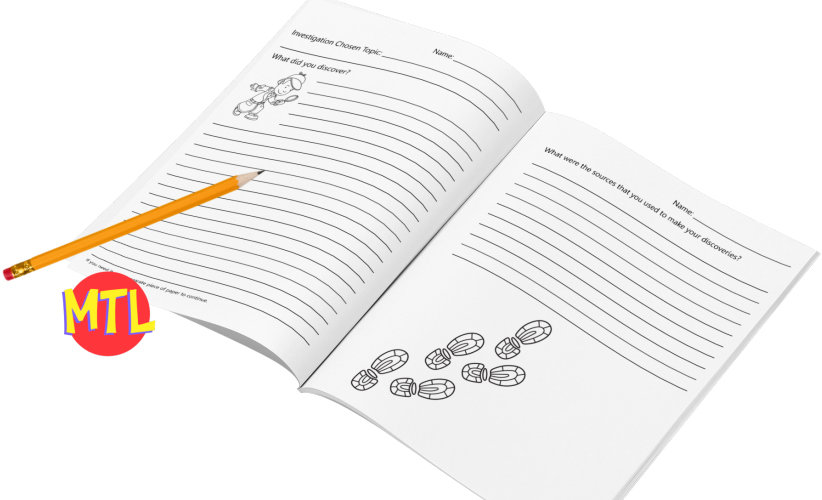
Students will learn about an event and be given several topics from which to choose to ‘investigate’. After some exploration, students are asked to write what they have discovered and name used sources.
So…with each lesson, students will:
▪ (Read) Learn one ‘On this Day in History’ fact.
▪ (Investigate) Take a related topic and explore it through the use of different forms of media (i.e. books, internet).
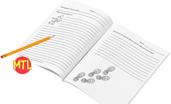
▪ (Write) Summarize and write what they have discovered. This also should include the recording of sources.
Related products
-
A Day in History – Investigation Station | October 14 Martin Luther King Jr to Pinterest (opens in a new window)
 $1.00Add to Cart
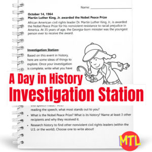
A Day in History – Investigation Station is a series of fun sleuthing research and writing activities based on a single event on a specific day in history! This resource focuses on the day that Martin Luther King, Jr. received the Nobel Peace Prize (October 14, 1964).
Students will learn about an event and be given several topics from which to choose to ‘investigate’. After some exploration, students are asked to write what they have discovered and name used sources.
So…with each lesson, students will:
▪ (Read) Learn one ‘On this Day in History’ fact.
▪ (Investigate) Take a related topic and explore it through the use of different forms of media (i.e. books, internet).
▪ (Write) Summarize and write what they have discovered. This also should include the recording of sources. -
$3.00Add to Cart
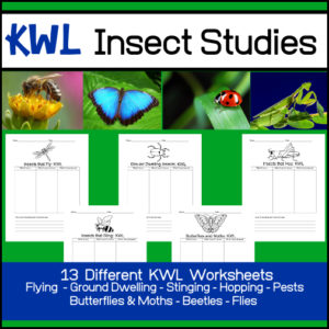
Want student to investigate a variety of different types of insects? This K-W-L resource includes 13 different KWL worksheets so that students (individually or in cooperative groups) can use as they study different bugs and creepy crawlies. Perhaps they want (or you want) the focus to be on insects that hop or ground dwelling insects. What if their study should focus on beetles only or butterflies and moths? Not only will you get worksheets for a variety of specified ‘types’ of insects but I’ve also included some that can be tailor designed to what you or your students choose to study!
-
Sale!Original price was: $20.00.$15.00Current price is: $15.00.Add to Cart
Studying mammals? Want students to research and create reports on these amazing animals? This is the BUNDLE for you!
It includes EIGHT products (Flying, Arboreal, Fossorial, Saltatorial, Natatorial, Arboreal, Fossorial, and Saltatorial Mammals) and each are designed to guide students through the process of researching and reporting what they have found.
Students will be given specific questions to research plus they will be asked to give the full classification of their selected species, to draw a picture of it and to indicate on a world map where it resides, within each of the individual products.
If you choose, you may also assign them to research and report multiple animals for each product by simply having them complete the pages for each animal.
-
$3.00Add to Cart
High School Biology Notebook resource!
Students will learn all about the cell membrane. Terms include: phospholipid, phospholipid bilayer, integral protein, peripheral protein, cholesterol, glycolipid, oligosaccharide/sugar chain, glycoprotein, transport, attachment and recognition, receptor for signalling, enzymatic activities



Reviews
There are no reviews yet.