Category: By Grade
- Home
- /
- Shop
- /
- By Subject
- /
- Social Studies
- /
- By Grade
- /
- Page 9
Showing 161–180 of 361 resultsSorted by latest
-
 $1.75Buy Now
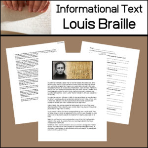
In this informational article, students will learn about Louis Braille and the system he invented so that people who can not see (the blind) can read!
Includes:
- -Informational text article
- -Reading comprehension assessment worksheet (short answer)
- -Answer key
Reading Level:
Automated Readability Index: 8
Grade level: 12-14 yrs. old (Seventh and Eighth graders) -
 $1.00Buy Now
Fun to use as a writing center activity (or) to create a student created bulletin board! Students will love writing about Johnny “Appleseed” Chapman using this apple-shaped shape book!
-
 $3.00Buy Now
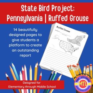
Studying the state of Pennsylvania and state symbols? What is the state bird of Pennsylvania? This project-based unit is designed to help students study and record information about Pennsylvania’s state bird: Ruffed Grouse
What type of pages are contained in this set:
– A map page (for the state)
– Scientific classification page
– A page for students to give details about the bird’s physical description, habitat, diet, life span and reproduction
– A page where students will do additional map work to show where in the U.S. the bird lives in addition to migration information
– Coloring page
– Several pages on which students can use for expository and/or creative writing as well as sections in which students may draw.14 pages in all and is designed for different levels / abilities.
My Teaching Library has a notebooking set for each of all 50 states. In addition, you can get all of them bundled!
Here are other bird related products you’ll love…
-
 $3.00Buy Now
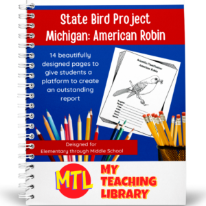
Studying the state of Michigan and state symbols? What is the state bird of Michigan? This project-based unit is designed to help students study and record information about Michigan’s state bird: American Robin
What type of pages are contained in this set:
– A map page (for the state)
– Scientific classification page
– A page for students to give details about the bird’s physical description, habitat, diet, life span and reproduction
– A page where students will do additional map work to show where in the U.S. the bird lives in addition to migration information
– Coloring page
– Several pages on which students can use for expository and/or creative writing as well as sections in which students may draw.14 pages in all and is designed for different levels / abilities.
My Teaching Library has a notebooking set for each of all 50 states. In addition, you can get all of them bundled!
Here are other bird related products you’ll love…
-
 $3.00Buy Now
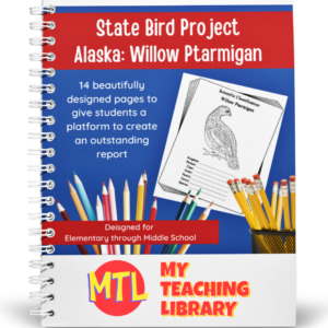
Studying the state of Alaska and state symbols? What is the state bird of Alaska? This project-based unit is designed to help students study and record information about Alaska’s state bird: Willow Ptarmigan
What type of pages are contained in this set:
– A map page (for the state)
– Scientific classification page
– A page for students to give details about the bird’s physical description, habitat, diet, life span and reproduction
– A page where students will do additional map work to show where in the U.S. the bird lives in addition to migration information
– Coloring page
– Several pages on which students can use for expository and/or creative writing as well as sections in which students may draw.14 pages in all and is designed for different levels / abilities.
My Teaching Library has a notebooking set for each of all 50 states. In addition, you can get all of them bundled!
If you only want a specific state, type in the search bar the state you want + ‘notebooking set’ (Example: West Virginia Notebooking Set)
Here are other bird related products you’ll love…
- North American Birds of Prey Research / Report Pages
- Birds if Prey Flashcards
- Audubon’s Birds – Coloring Book (80 species)
- U.S. State Birds Coloring Book
-
 $3.00Buy Now
Studying the state of New Hampshire and state symbols? What is the state bird of New Hampshire?
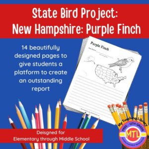
This project-based unit is designed to help students study and record information about New Hampshire’s state bird: Purple Finch
What type of pages are contained in this set:
– A map page (for the state)
– Scientific classification page
– A page for students to give details about the bird’s physical description, habitat, diet, life span and reproduction
– A page where students will do additional map work to show where in the U.S. the bird lives in addition to migration information
– Coloring page
– Several pages on which students can use for expository and/or creative writing as well as sections in which students may draw.14 pages in all and is designed for different levels / abilities.
My Teaching Library has a notebooking set for each of all 50 states. In addition, you can get all of them bundled!
Here are other bird related products you’ll love…
- North American Birds of Prey Research / Report Pages
- Birds if Prey Flashcards
- Audubon’s Birds – Coloring Book (80 species)
- U.S. State Birds Coloring Book
-
 $4.50Buy Now
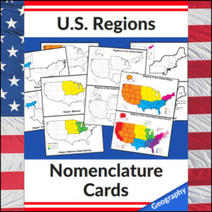
This set of U.S. Regions – Geography – Nomenclature cards consists of 20 cards. Use in any study of Geography of the United States, individual state studies, in centers, as handouts, on displays, etc! This set has the U.S. divided into *4 regions as defined by the U.S. Census Bureau
Cards in this set:- Regions of the United States in color with coded key (4 regions*)
- Regions of the United States in color with coded key with state names
- Regions of the United States in b/w and separated
- Regions of the United States in b/w and separated with state names
- Northeast Region (in color displayed on b/w full U.S. map)
- Northeast Region with state names (in color displayed on b/w full U.S. map)
- Northeast Region b/w standing alone (with small insert of region in color displayed on b/w full U.S. map)
- Northeast Region b/w standing alone with state names (in color displayed on b/w full U.S. map)
- Midwest Region (in color displayed on b/w full U.S. map)
- Midwest Region with state names (in color displayed on b/w full U.S. map)
- Midwest Region b/w standing alone (with small insert of region in color displayed on b/w full U.S. map)
- Midwest Region b/w standing alone with state names (in color displayed on b/w full U.S. map)
- South Region (in color displayed on b/w full U.S. map)
- South Region with state names (in color displayed on b/w full U.S. map)
- South Region b/w standing alone (with small insert of region in color displayed on b/w full U.S. map)
- South Region b/w standing alone with state names (in color displayed on b/w full U.S. map)
- West Region (in color displayed on b/w full U.S. map)
- West Region with state names (in color displayed on b/w full U.S. map)
- West Region b/w standing alone (with small insert of region in color displayed on b/w full U.S. map)
- West Region b/w standing alone with state names (in color displayed on b/w full U.S. map)
⭐ This product is included in a $$$ SAVING BUNDLE: Regions of the U.S.A. | Geography Bundle
-
 $1.50Buy Now
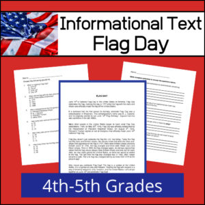
In the United States, National Flag Day is celebrated on June 14. It commemorates the adoption of the flag of the United States on June 14, 1777 by resolution of the Second Continental Congress. This informational text article will help 4th-5th grade students learn about this day set aside to recognize national flag, how it came about and facts about the U.S. flag. To assess reading comprehension and understanding, there are two worksheets for students to complete after reading the text (multiple choice and short answer). Answer keys provided.
Flesch-Kincaid Grade Level: 5
Grade level: Fifth Grade
Automated Readability Index: 4.3
Grade level: 8-9 yrs. old (Fourth and Fifth graders) -
 $6.00Buy Now
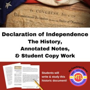
This product includes the history of the Declaration of Independence, important annotated notes (to help students understand it) and a student copy work section where they are asked to write this historic document. The copy work section is broken into 17 sections. In each, students will copy the text and then be asked to write any unfamiliar words and ideas. Then, they are asked to look up the definition of those words and research the ideas.
-
 $3.00Buy Now
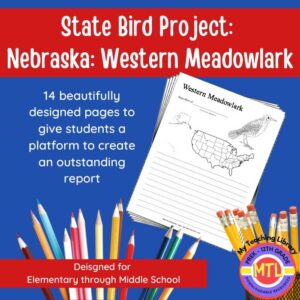
Studying the state of Nebraska and state symbols? What is the state bird of Nebraska?
This project-based unit is designed to help students study and record information about Nebraska’s state bird: Western Meadowlark
⭐Included:
– A map page (for the state)
– Scientific classification page
– A page for students to give details about the bird’s physical description, habitat, diet, life span and reproduction
– A page where students will do additional map work to show where in the U.S. the bird lives in addition to migration information
– Coloring page
– Several pages on which students can use for expository and/or creative writing as well as sections in which students may draw.⭐ 14 pages in all and is designed for different levels / abilities.
My Teaching Library has a notebooking set for each of all 50 states. In addition, you can get all of them bundled!
Here are other bird related products you’ll love…
-
 $2.50Buy Now
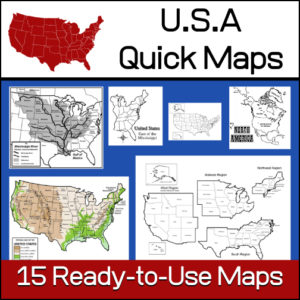
15 ready-to-use maps of the United States. Use for class projects, to create lessons or presentations.
Non-commercial use only.Includes:
– 2 maps showing the US within North America
– US maps (with states names and unnamed)
– US regional maps (with states names and unnamed)
– US east of the Mississippi (with states names and unnamed)
– US west of the Mississippi (with states names and unnamed)
– Physical Maps of the US (color and b/w)
– The Mississippi River with tributaries (states named) -
 $4.99Buy Now
This American Revolution resource has been designed for use in both Language Arts and History classes. It includes 10 informational articles for students to read. Each article has a multiple choice worksheets as well as a short answer worksheet to check student understanding / comprehension of the passages. Answer Keys Provided.
-
 $4.00Buy Now
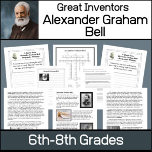
This resource will help students learn about Alexander Graham Bell, the man and his inventions. Unit includes…
- – Informational article on Bell’s life and inventions
- – Worksheets to assess understanding of material
- – List of Patents granted to Bell
- – 12 Notebooking / Report pages
- – Answer Keys
-
 $3.00Buy Now
Studying the state of Arkansas and state symbols? What is the state bird of Arkansas?
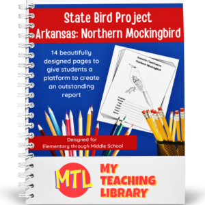
This project-based unit is designed to help students study and record information about Arkansas’s state bird: Northern Mockingbird
⭐Included:
– A map page (for the state)
– Scientific classification page
– A page for students to give details about the bird’s physical description, habitat, diet, life span and reproduction
– A page where students will do additional map work to show where in the U.S. the bird lives in addition to migration information
– Coloring page
– Several pages on which students can use for expository and/or creative writing as well as sections in which students may draw.⭐ 14 pages in all and is designed for different levels / abilities.
My Teaching Library has a notebooking set for each of all 50 states. In addition, you can get all of them bundled!
Here are other bird related products you’ll love…
-
 $1.50Buy Now
This is a downloadable copy of the book. (74 pages)
About the book: This book was written in 1856 is written in a question – answer format:
Q. What is Geography?
A. A description of the Earth’s surfact
Q. What is the Earth
A. The planet or body on which we live.
Q. What is a Continent?
A. The largest division of land.Because it was written in the mid 19th century, all of the maps are outdated…However, this can lend itself to great teaching lessons! Compare and contrast the old with the new. Research what events in history led up to the changes from then to now, etc.!
-
 $2.50Buy Now
This is a downloadable copy of the book.
About the book: This Civil War classic of soldiering in the ranks debunks all the romantic notions of war. Like his Northern counterpart, the Confederate soldier fought against bullets, starvation, miserable conditions, disease, and mental strain. But the experience was perhaps even worse for Johnny Reb because of the odds against him. Never as well equipped and provisioned as the Yankee, he nevertheless performed heroically.About the Author: Carlton McCarthy (1847–1936) was the mayor of Richmond Virginia from 1904 to 1908. Prior to this, he served as a soldier in the Confederate Army. He fought in local armies but was not formally enlisted private until 1864 in the Richmond Howitzers of the Army of Northern Virginia. He wrote a book about his four years of Civil War experience called Detailed Minutiae of Soldier Life in the Army of Northern Virginia 1861-1865.
-
 $15.00Buy Now
Teachers edition to be used with:
Economics Curriculum – Student Edition (separate resource) -
 $3.00Buy Now
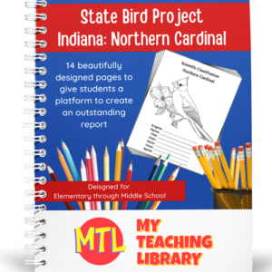
Studying the state of Indiana and state symbols? What is the state bird of Indiana?
This project-based unit is designed to help students study and record information about Indiana’s state bird: Northern Cardinal
⭐Included:
– A map page (for the state)
– Scientific classification page
– A page for students to give details about the bird’s physical description, habitat, diet, life span and reproduction
– A page where students will do additional map work to show where in the U.S. the bird lives in addition to migration information
– Coloring page
– Several pages on which students can use for expository and/or creative writing as well as sections in which students may draw.⭐ 14 pages in all and is designed for different levels / abilities.
My Teaching Library has a notebooking set for each of all 50 states. In addition, you can get all of them bundled!
Here are other bird related products you’ll love…
-
 $5.00Buy Now
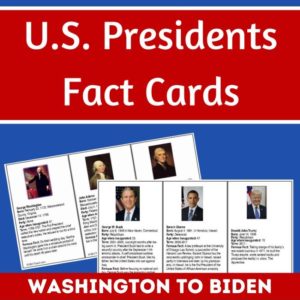
Studying the U.S. Presidents, U.S. History, or U.S. Government? These U.S. Presidents Fact Cards are perfect for students wanting to learn more about each president, from Washington to Biden. Also includes 2 blank templates to use for future presidents.
Three info cards per page, each approximately 5″ x 3″. To use year after year, laminate the cards after you print and cut out.
Each card includes:
- Photo and Name
- Date of Birth (some include date of death)
- Party affiliation
- Age when inaugurated
- Term (years of service)
- A famous fact(s)
-
 $3.25Buy Now
Challenge students’ critical thinking skills and knowledge of the U.S. Presidents with these 5 Word Builder puzzles with a U.S. Presidents theme!
See description below for details about these puzzles.
