
Description
All-Access members do not pay for this or any resource. Become an All-Access member today!
________________________
|
Get the MOST from My Teaching Library by connecting with us here: |

$5.00
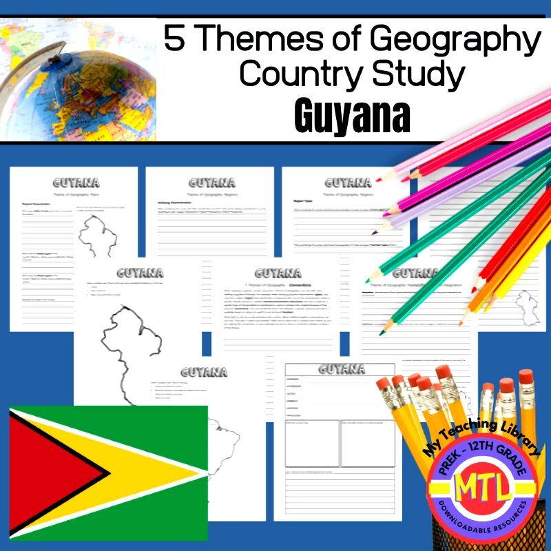
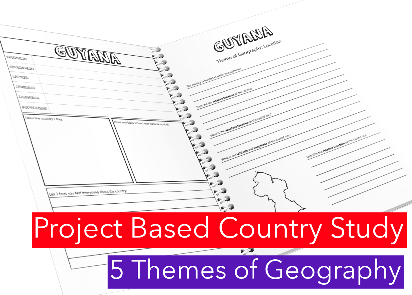
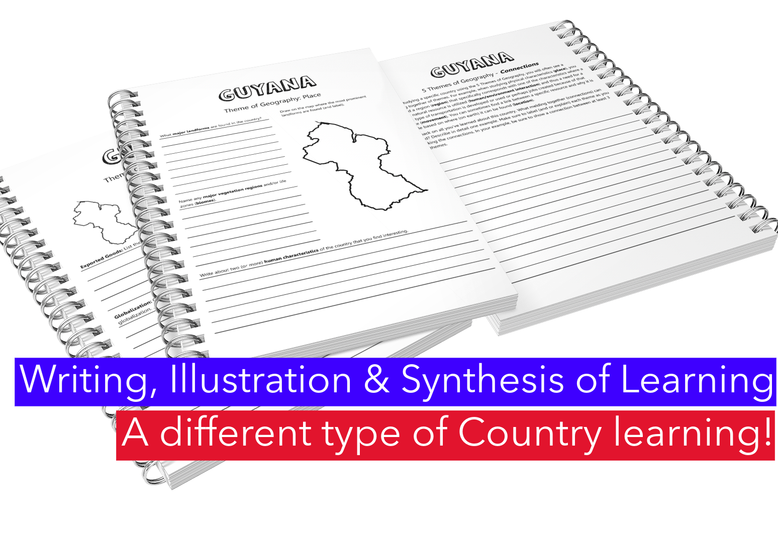
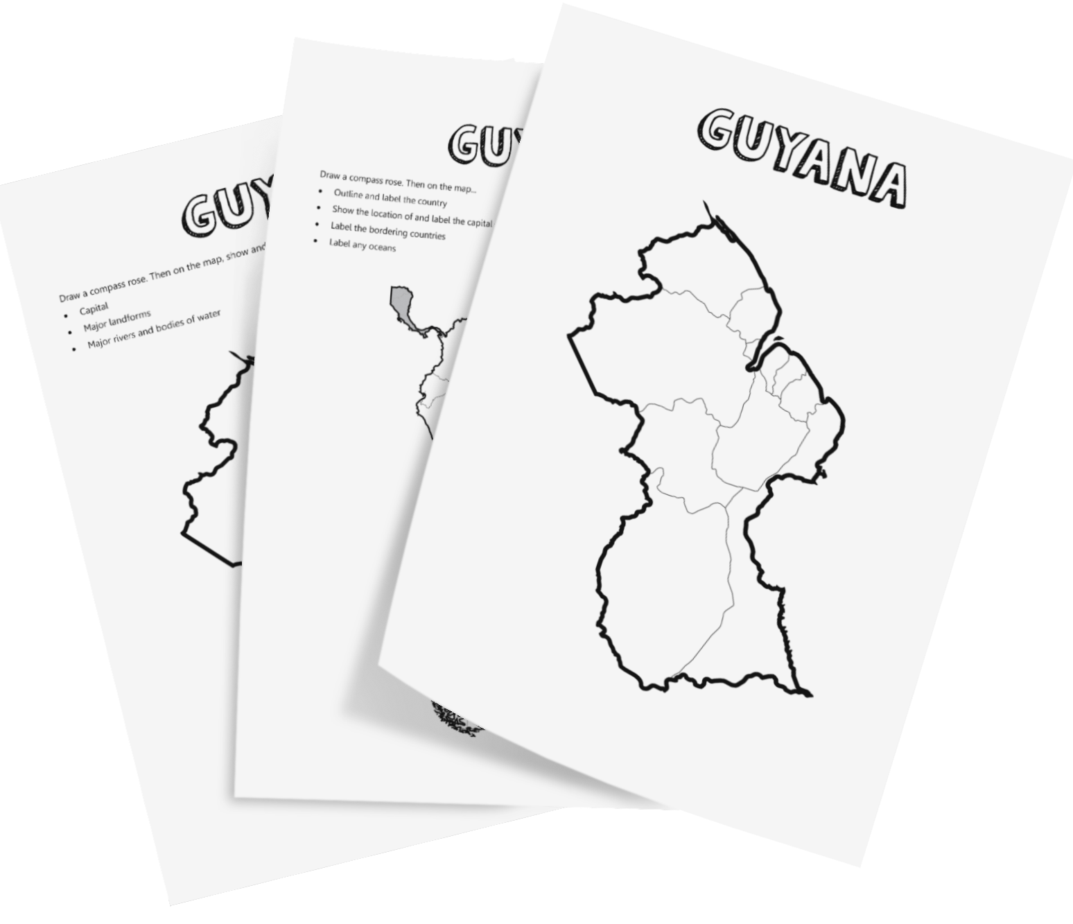
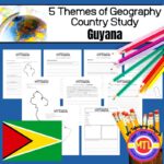
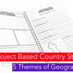
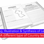
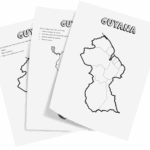
This is a project-based country study on the South American country of Guyana focusing on the 5 Themes of Geography: location, place, regions, movement and human/environment integration! There are a lot of country studies but this one is different.
This study will ask students to ‘think like a geographer‘in their research and recording.
Using this resource, students will…
Sample questions include:
There are many more questions and this unit is designed to get your students thinking like a geographer!!
Students will need to have a good understanding of the 5 Themes of Geography to complete this project. Need teaching materials for the 5 Themes? Get My Teaching Library’s 5 Themes of Geography Bundle
All-Access members do not pay for this or any resource. Become an All-Access member today!
________________________
|
Get the MOST from My Teaching Library by connecting with us here: |
Only logged in customers who have purchased this product may leave a review.
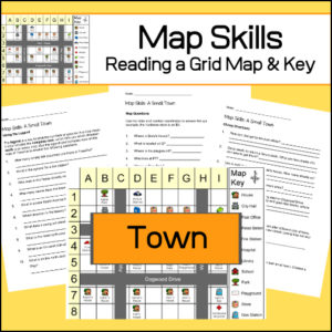
Students will be given a grid map and key of a small town and asked several questions requiring them read and navigate throughout the map. There are also two additional activities to extend learning (through writing and creative design). Answer Key included.
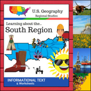
Get ready to explore the land of hospitality, diverse landscapes, and rich history! This 15-page resource offers a comprehensive, “textbook-style” deep dive into the South Region. From the sunny coasts of Florida to the rolling hills of West Virginia and the plains of Texas, your students will get a full-flavor look at what makes the South unique.
Designed to align with the U.S. Census Bureau divisions, this unit ensures your students are learning geography based on official standards.
🧠 The “How” and “Why” (Educational Benefits)
Why add this to your lesson plan? It’s designed to move students from passive readers to active thinkers:
🛠️ Creative Ways to Use This Resource
📝 What’s Inside This 15-Page Resource:
Pro Tip: To turn this into a full hands-on project, pair it with the US Geography – South Scrapbooking Pages! Students can use the facts from this text to illustrate and curate their very own Southern travel journal.
🚀 Bring the South to Your Classroom!
Stop searching for scattered facts and give your students a structured, engaging path to geographic mastery. Download the Regions of the U.S. – South Region today and start exploring! 🗺️✨
⭐ This product is included in a $$$ SAVING BUNDLE: Regions of the U.S.A. | Geography Bundle
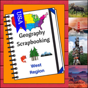
🏔️ Capture the spirit of the frontier and the beauty of the Pacific Coast with this hands-on, interactive geography resource! As your students explore the vast and varied Western region, these scrapbooking and notebooking pages provide the perfect canvas for them to document their discoveries. From the Rocky Mountains to the Hawaiian islands, students become active explorers of the American West!
This 5-page set is designed to be a flexible, creative companion to your geography curriculum, allowing students to blend factual research with their own artistic flair.
🧠 The “How” and “Why” (Educational Benefits)
Why incorporate scrapbooking into your geography lessons? It’s all about immersive learning:
🛠️ Creative Ways to Use These Pages
📝 What’s Included:
Pro Tip: For the ultimate learning experience, pair these pages with Regions of the U.S. – West Region | Informational Text and Worksheets. Students can use the facts they learn there to fill their scrapbooks with expert knowledge!
🚀 Head West with Your Students! Turn your geography unit into a creative adventure! Download the West Scrapbooking Pages today and watch your students bring the wonder of the Western United States to life on the page!
⭐ This product is included in a $$$ SAVING BUNDLE: Regions of the U.S.A. | Geography Bundle
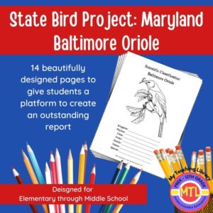
Studying the state of Maryland and state symbols? What is the state bird of Maryland?
This project-based unit is designed to help students study and record information about Maryland’s state bird: Baltimore Oriole
What type of pages are contained in this set:
– A map page (for the state)
– Scientific classification page
– A page for students to give details about the bird’s physical description, habitat, diet, life span and reproduction
– A page where students will do additional map work to show where in the U.S. the bird lives in addition to migration information
– Coloring page
– Several pages on which students can use for expository and/or creative writing as well as sections in which students may draw.
14 pages in all and is designed for different levels / abilities.
My Teaching Library has a notebooking set for each of all 50 states. In addition, you can get all of them bundled!
Here are other bird related products you’ll love…


Reviews
There are no reviews yet.