

Description
All-Access members do not pay for this or any resource. Become an All-Access member today!
________________________
|
Get the MOST from My Teaching Library by connecting with us here: |

$5.00
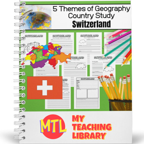
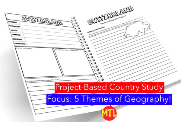
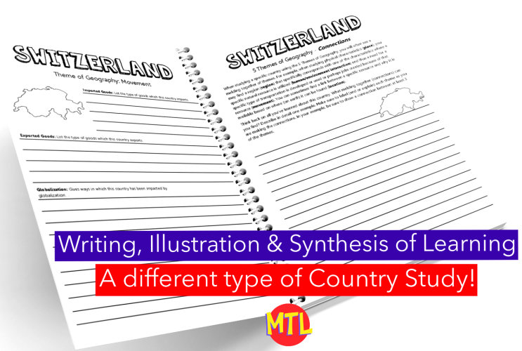
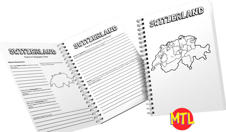
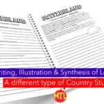
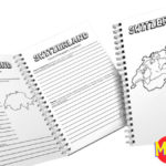
This is a country study resource on the European country of Switzerland focusing on the 5 Themes of Geography: location, place, regions, movement and human/environment integration! There are a lot of country studies but this one is different.
This study will ask students to ‘think like a geographer‘ in their research and recording. Using this resource, students will…
Sample questions include:
There are many more questions and this unit is designed to get your students thinking like a geographer!!
Related resource: 5 Themes of Geography Bundle
My Teaching Library as a lot of other Geography resources…Here are just a few:
All-Access members do not pay for this or any resource. Become an All-Access member today!
________________________
|
Get the MOST from My Teaching Library by connecting with us here: |
Only logged in customers who have purchased this product may leave a review.
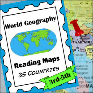
A comprehensive map-reading resource designed to help students develop essential navigation and analytical skills by focusing on 35 different countries.
Key Features:
Country-Specific Focus: For each country, students are given a map and asked specific questions that will require them to read the map to answer. (Questions may be things such as the location of the capital, naming rivers that are within or border the country, mountain ranges within the country, what nations border the country, etc.)
Critical Thinking Exercises: The worksheets go beyond simple identification, prompting students to solve navigation problems, determine cardinal directions, and estimate distances between major cities.
Integrated Learning: The resource connects physical geography with logical reasoning, helping students understand how environmental features like mountain ranges and bodies of water shape national landscapes and travel routes.
Ready-to-Use Answer Keys: The included answer keys make this an efficient tool for independent study, homeschooling, or classroom assessment.
Countries included: Algeria. Antarctica. Argentina. Australia. Bolivia. Brazil. Canada. Chile. China. Colombia. Ecuador. Egypt. Ethiopia. France. Ghana. Greece. Spain/Portugal. India. Iran. Iraq. Ireland. Italy, Japan, Kenya, Liberia, Libya, Madagascar, Mexico, Morocco, Nigeria, Peru, Russia, Saudi Arabia, South Africa, Uganda
This resource is an ideal addition to any social studies program, providing the structure needed for students to build confidence in reading maps and understanding global geography.
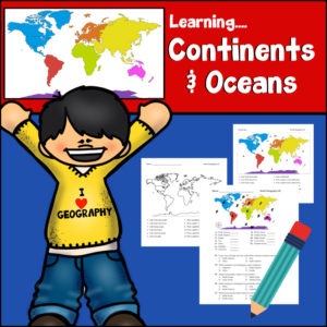
This resource provides a hands-on, interactive way for students to master world geography by identifying and learning about the world’s seven continents and five oceans. Designed as a print-n-go resource, it includes:
Skill-Building Exercises: Engaging activities that prompt students to label, color-code, and identify geographic features, reinforcing their spatial awareness of the globe.
Assessment Tools: A structured answer key is provided, making it an excellent resource for self-checking or quick grading.
Visual Learning: The straightforward layout encourages students to engage with maps directly, helping them develop a solid foundation in physical geography.
Whether used as a primary instructional tool or as a supplemental activity for reinforcing map-reading skills, this resource is a helpful asset for building geographic literacy in early to middle elementary grade levels.
Specifics:
Print and Go – Ready to use!
Place in your cart and download today!
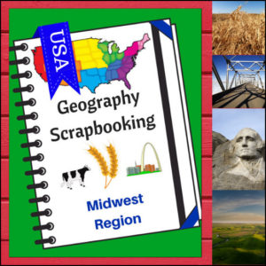
🌽 Bring the “Heartland” to life with this creative, hands-on geography resource! As your students explore the Midwest region, these scrapbooking pages provide a structured yet artistic way for them to document their discoveries. From the Great Lakes to the rolling prairies, students will transition from passive readers to active explorers as they curate their own regional “travel log.”
This 5-page set is designed to be a flexible companion to any geography curriculum, allowing students to combine factual research with personal expression.
🧠 The “How” and “Why” (Educational Benefits)
Why choose scrapbooking for geography? It’s all about engaging the whole learner:
🛠️ Ways to Use These Pages in Your Classroom
📝 What’s Included:
Pro Tip: This set is designed to pair perfectly with Regions of the U.S. – Midwest Region | Informational Text and Worksheets for a comprehensive, ready-to-go geography unit!
🚀 Start the Heartland Adventure!
Turn geography into a keepsake! Download the Midwest Scrapbooking Pages today and give your students a creative way to master the map!
⭐ This product is included in a $$$ SAVING BUNDLE: Regions of the U.S.A. | Geography Bundle
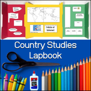
This Country Studies Lapbook is a versatile, hands-on resource designed to help students organize and present their research on any nation. It provides structured, interactive templates that transform geography lessons into engaging, personalized learning projects.
Key Features
Comprehensive Templates: The lapbook includes a variety of custom-designed “foldables” that allow students to display key information, including:
Geographic Basics: Templates for mapping borders, rivers, mountain ranges, seas, lakes, and oceans.
Country Profile: Dedicated spaces for identifying the capital city and neighboring countries.
Cultural & Economic Details: Creative components for tracking natural resources, agriculture, religion, and historical event timelines.
Interactive Elements: Features like a “money fan” and a time-difference flap book to add tactile interest to the learning process.
Flexible Application: Designed for use in classrooms, co-ops, or homeschool settings, this resource allows educators to adapt the study of world geography to fit individual student interests and grade levels.
Organized Presentation: By consolidating research into a lapbook format, students develop strong organizational and research skills while creating a portfolio of their geographic learning.
This resource is an ideal tool for fostering “child-centered learning,” enabling students to research, document, and showcase their understanding of global cultures and geography through active, project-based creation.
Click here for a flipbook preview!


Reviews
There are no reviews yet.