


Description
All-Access members do not pay for this or any resource. Become an All-Access member today!
________________________
|
Get the MOST from My Teaching Library by connecting with us here: |
$5.00
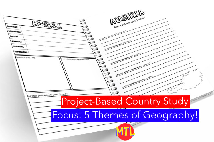
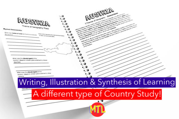
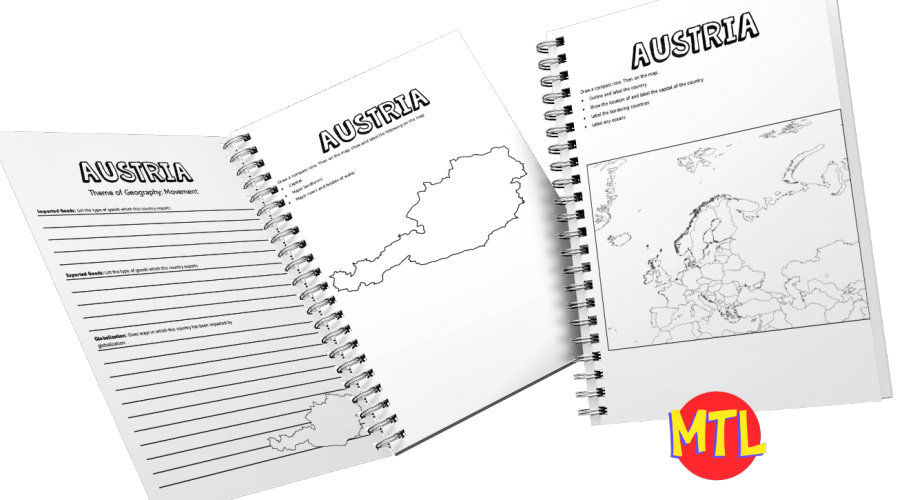
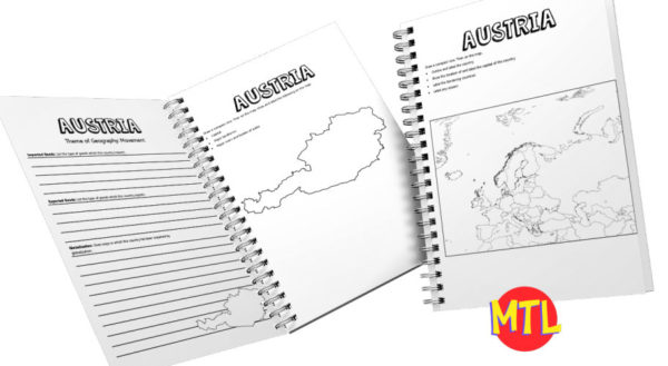
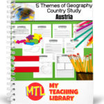
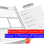
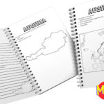
This is a country study resource on the European country of Austria focusing on the 5 Themes of Geography: location, place, regions, movement and human/environment integration! There are a lot of country studies but this one is different.
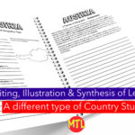
This study will ask students to ‘think like a geographer‘ in their research and recording. Using this resource, students will…
Sample questions include:
There are many more questions and this unit is designed to get your students thinking like a geographer!!
Related resource: 5 Themes of Geography Bundle
My Teaching Library as a lot of other Geography resources…Here are just a few:
All-Access members do not pay for this or any resource. Become an All-Access member today!
________________________
|
Get the MOST from My Teaching Library by connecting with us here: |
Only logged in customers who have purchased this product may leave a review.
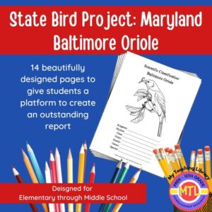
Studying the state of Maryland and state symbols? What is the state bird of Maryland?
This project-based unit is designed to help students study and record information about Maryland’s state bird: Baltimore Oriole
What type of pages are contained in this set:
– A map page (for the state)
– Scientific classification page
– A page for students to give details about the bird’s physical description, habitat, diet, life span and reproduction
– A page where students will do additional map work to show where in the U.S. the bird lives in addition to migration information
– Coloring page
– Several pages on which students can use for expository and/or creative writing as well as sections in which students may draw.
14 pages in all and is designed for different levels / abilities.
My Teaching Library has a notebooking set for each of all 50 states. In addition, you can get all of them bundled!
Here are other bird related products you’ll love…
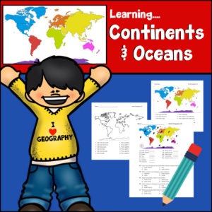
Help Students learn to identify and answer directional questions about the continents (South America, North America, Europe, Asia, Antarctica, Australia, Africa) and oceans (Atlantic, Arctic, Southern, Indian, Pacific) with this resource!
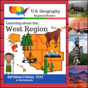
This U.S. Geography resource is centered on the West Region and contains textbook style informational text, worksheets and answer keys. Students will enjoy learning about this region studying the categories of Land and Water, Climate, Products and Natural Resources, Landmarks, Culture and Food. The informational text worksheets begin with an anticipation activity section followed by questions that students will answer about each category. The last is a fun ‘unscramble’ the state names worksheet. (Pages: 15)
⭐ This product is included in a $$$ SAVING BUNDLE: Regions of the U.S.A. | Geography Bundle
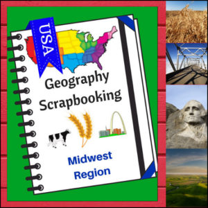
As students study the Midwest region of the United States, have them complete these scrapbook activities. Students will draw (or paste) pictures and write a few short sentences about climate, landforms, water, natural resources, landmarks and culture. Students will also be asked to name the states of the region and give a personal opinion about a place they would most like to visit in the region. There are 5 scrapbooking pages for student use. You can use these pages with your own curriculum or research to find the information to fill in the scrapbook.
⭐ This product is included in a $$$ SAVING BUNDLE: Regions of the U.S.A. | Geography Bundle
Reviews
There are no reviews yet.