
Description
All-Access members do not pay for this or any resource. Become an All-Access member today!
________________________
|
Get the MOST from My Teaching Library by connecting with us here: |

$45.00
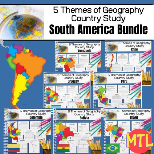
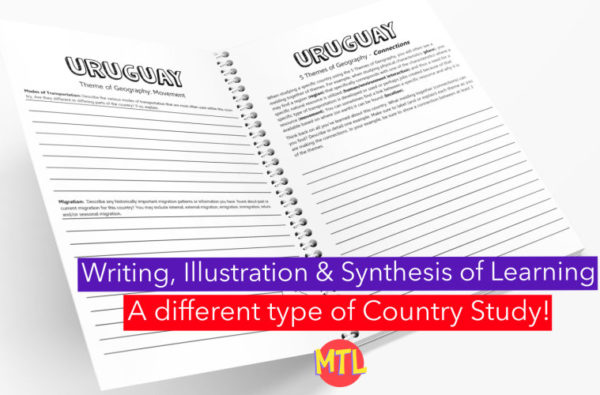
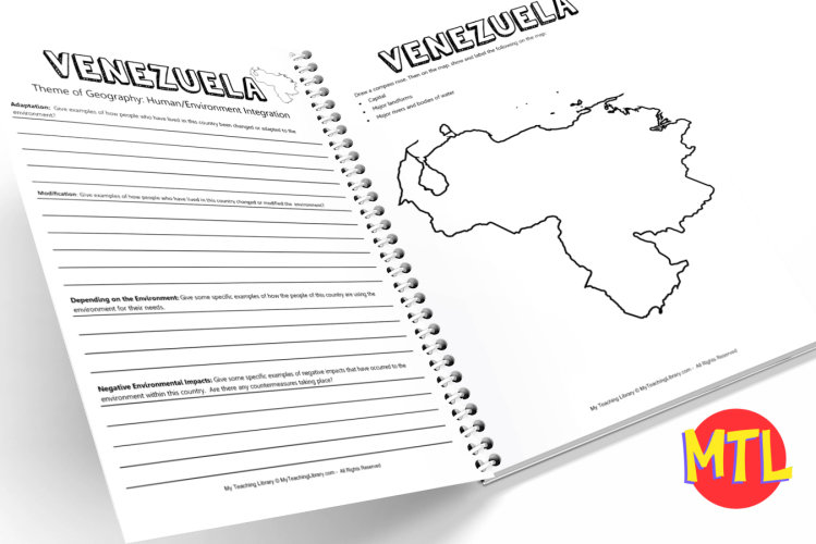
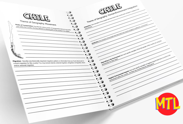
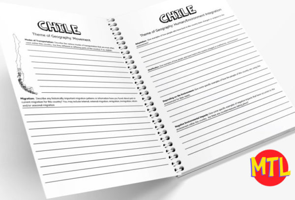
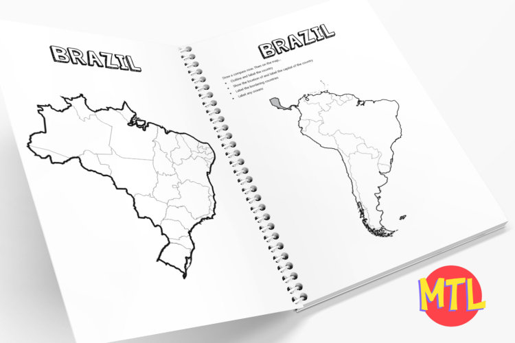
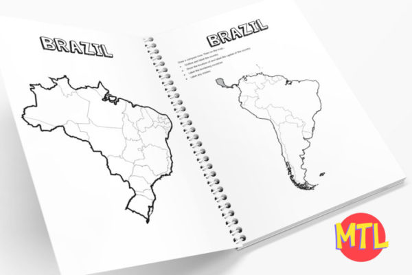
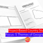
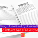
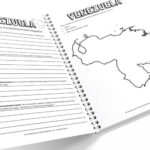
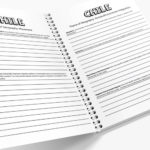
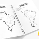
This geography notebooking bundle includes EIGHT South American country studies. As students move through each study, they will learn about each country through the lens of the 5 Themes of Geography! Country studies in the bundle:
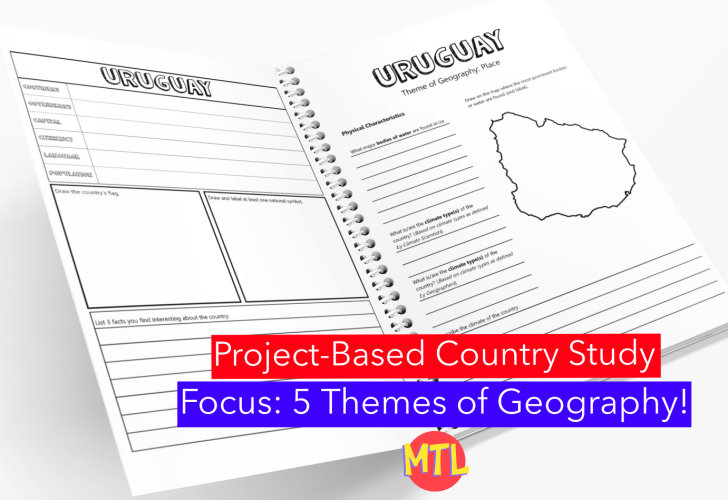
This study will ask students to ‘think like a geographer‘ in their research and recording. Using this resource, students will…
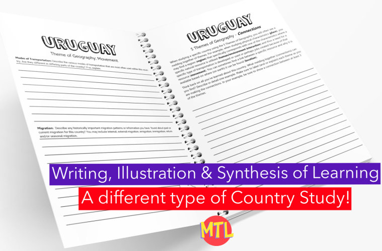
Sample questions include:
There are many more questions and this unit is designed to get your students thinking like a geographer!!
All-Access members do not pay for this or any resource. Become an All-Access member today!
________________________
|
Get the MOST from My Teaching Library by connecting with us here: |
Only logged in customers who have purchased this product may leave a review.
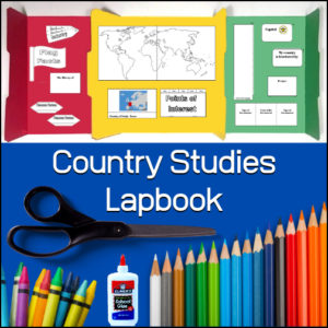
This Country Studies Lapbook is a versatile, hands-on resource designed to help students organize and present their research on any nation. It provides structured, interactive templates that transform geography lessons into engaging, personalized learning projects.
Key Features
Comprehensive Templates: The lapbook includes a variety of custom-designed “foldables” that allow students to display key information, including:
Geographic Basics: Templates for mapping borders, rivers, mountain ranges, seas, lakes, and oceans.
Country Profile: Dedicated spaces for identifying the capital city and neighboring countries.
Cultural & Economic Details: Creative components for tracking natural resources, agriculture, religion, and historical event timelines.
Interactive Elements: Features like a “money fan” and a time-difference flap book to add tactile interest to the learning process.
Flexible Application: Designed for use in classrooms, co-ops, or homeschool settings, this resource allows educators to adapt the study of world geography to fit individual student interests and grade levels.
Organized Presentation: By consolidating research into a lapbook format, students develop strong organizational and research skills while creating a portfolio of their geographic learning.
This resource is an ideal tool for fostering “child-centered learning,” enabling students to research, document, and showcase their understanding of global cultures and geography through active, project-based creation.
Click here for a flipbook preview!
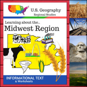
Welcome to the Heartland! This 16-page geography resource is a deep dive into the Midwest Region, providing students with a clear, “textbook-style” look at the states that power the nation’s agriculture and industry. From the Great Lakes to the Great Plains, your students will explore the unique identity of these 12 vital states.
To ensure your lessons meet official standards, this resource is designed according to the U.S. Census Bureau regional divisions, covering: Illinois, Indiana, Iowa, Kansas, Michigan, Minnesota, Missouri, Nebraska, North Dakota, Ohio, South Dakota, and Wisconsin.
🧠 The “How” and “Why” (Educational Benefits)
Why use this structured informational text approach? It builds a solid foundation for geographic literacy:
🛠️ Ways to Use
📝 What’s Included:
Pro Tip: To turn these facts into a beautiful keepsake, pair this unit with the US Geography – Midwest Scrapbooking Pages! Students can use the info they learn here to illustrate and write their own regional travel journals. 🎨
🚀 Explore the Heartland Today!
Give your students a structured and engaging way to look at U.S. Geography. Download the Regions of the U.S. – Midwest Region unit today and watch your students become experts on the American Midwest! 🗺️
⭐ This product is included in a $$$ SAVING BUNDLE: Regions of the U.S.A. | Geography Bundle
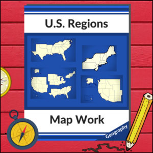
This resource will help your students learn more about U.S. Geography and the 4 main regions (as defined by the U.S. Census Bureau). Students will be working with maps of the entire United States as well as those of each region as they identify states, capitols, national parks, mountain ranges and points of interest! Great for any Social Studies class studying the U.S.A.!
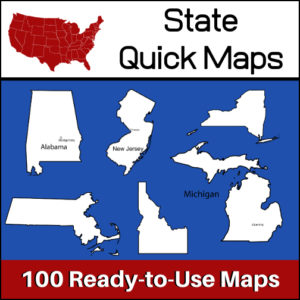
100 U.S. State outline maps – 2 maps for each state on one page:
Maps can be used for projects, bulletin boards, lesson plans and presentations.
Non-commercial use only.


Reviews
There are no reviews yet.