


Description
All-Access members do not pay for this or any resource. Become an All-Access member today!
________________________
|
Get the MOST from My Teaching Library by connecting with us here: |
$5.00
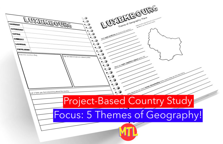
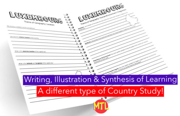
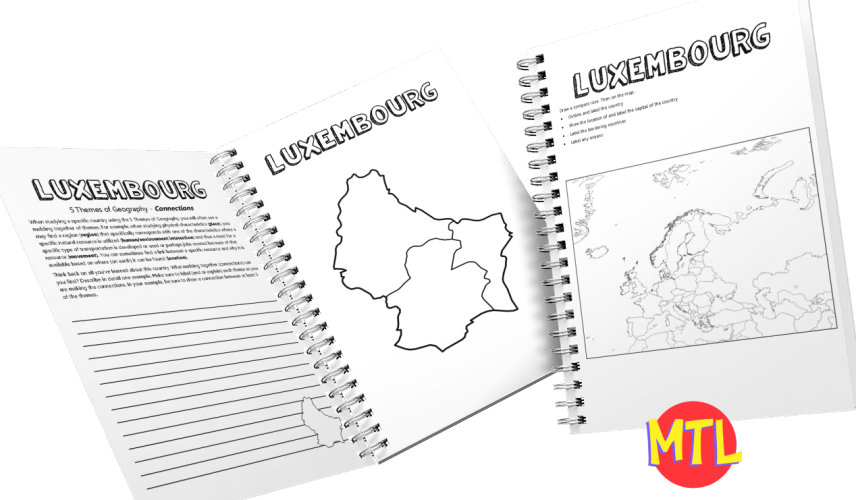
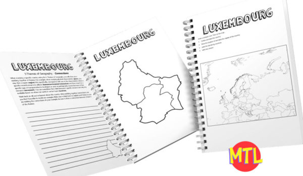
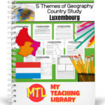
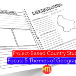
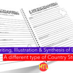
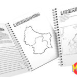
This is a country study resource on the European country of Luxembourg focusing on the 5 Themes of Geography: location, place, regions, movement and human/environment integration! There are a lot of country studies but this one is different.
This study will ask students to ‘think like a geographer‘ in their research and recording. Using this resource, students will…
Sample questions include:
There are many more questions and this unit is designed to get your students thinking like a geographer!!
Related resource: 5 Themes of Geography Bundle
My Teaching Library as a lot of other Geography resources…Here are just a few:
All-Access members do not pay for this or any resource. Become an All-Access member today!
________________________
|
Get the MOST from My Teaching Library by connecting with us here: |
Only logged in customers who have purchased this product may leave a review.
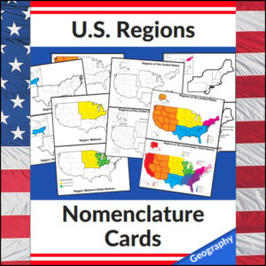
Mastering the map has never been more visual! This set of 20 professional nomenclature cards is the perfect foundational tool for any U.S. geography unit. Based on the 4 regions as defined by the U.S. Census Bureau (Northeast, Midwest, South, and West), these cards provide a clear, structured way for students to visualize how the United States is organized.
From full-color coded keys to black-and-white standalone regional maps, this versatile set helps students transition from “the big picture” to specific regional details with ease.
🧠 The “How” and “Why” (Educational Benefits)
Why use nomenclature cards for geography? It’s all about spatial recognition and scaffolded learning:
🛠️ Ways to Use These
🚀 Help Your Students Find Their Way!
Equip your geography explorers with the visual tools they need to master U.S. Geography. Add these US Regions Nomenclature Cards to your teaching toolkit today and watch their map-reading confidence soar! 🌟
UPGRADE and get this BUDNLE: Regions of the U.S.A. | Geography Bundle
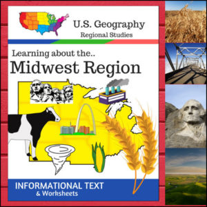
Welcome to the Heartland! This 16-page geography resource is a deep dive into the Midwest Region, providing students with a clear, “textbook-style” look at the states that power the nation’s agriculture and industry. From the Great Lakes to the Great Plains, your students will explore the unique identity of these 12 vital states.
To ensure your lessons meet official standards, this resource is designed according to the U.S. Census Bureau regional divisions, covering: Illinois, Indiana, Iowa, Kansas, Michigan, Minnesota, Missouri, Nebraska, North Dakota, Ohio, South Dakota, and Wisconsin.
🧠 The “How” and “Why” (Educational Benefits)
Why use this structured informational text approach? It builds a solid foundation for geographic literacy:
🛠️ Ways to Use
📝 What’s Included:
Pro Tip: To turn these facts into a beautiful keepsake, pair this unit with the US Geography – Midwest Scrapbooking Pages! Students can use the info they learn here to illustrate and write their own regional travel journals. 🎨
🚀 Explore the Heartland Today!
Give your students a structured and engaging way to look at U.S. Geography. Download the Regions of the U.S. – Midwest Region unit today and watch your students become experts on the American Midwest! 🗺️
⭐ This product is included in a $$$ SAVING BUNDLE: Regions of the U.S.A. | Geography Bundle
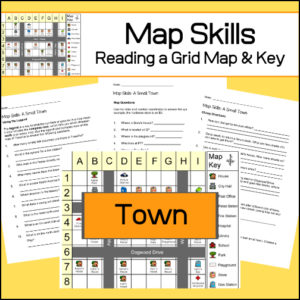
Students will be given a grid map and key of a small town and asked several questions requiring them read and navigate throughout the map. There are also two additional activities to extend learning (through writing and creative design). Answer Key included.
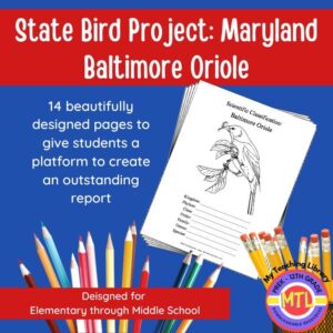
Studying the state of Maryland and state symbols? What is the state bird of Maryland?
This project-based unit is designed to help students study and record information about Maryland’s state bird: Baltimore Oriole
What type of pages are contained in this set:
– A map page (for the state)
– Scientific classification page
– A page for students to give details about the bird’s physical description, habitat, diet, life span and reproduction
– A page where students will do additional map work to show where in the U.S. the bird lives in addition to migration information
– Coloring page
– Several pages on which students can use for expository and/or creative writing as well as sections in which students may draw.
14 pages in all and is designed for different levels / abilities.
My Teaching Library has a notebooking set for each of all 50 states. In addition, you can get all of them bundled!
Here are other bird related products you’ll love…
Reviews
There are no reviews yet.