


Description
All-Access members do not pay for this or any resource.
Become an All-Access member today!
________________________
|
Get the MOST from My Teaching Library by connecting with us here: |

$5.75
Take the Mystery Out of Map Coordinates!
Are your students struggling to understand how latitude and longitude work? Do they get confused between parallels and meridians, or mix up the coordinate order?
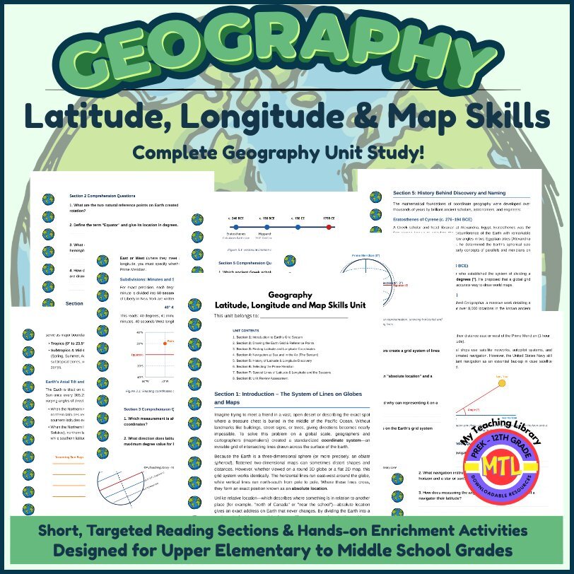
This comprehensive, ready-to-print geography unit provides an all-in-one solution for teaching global coordinates, navigational history, map grids, and climate zones! Designed specifically for 5th-8th grade level learners, this unit breaks down complex spatial concepts into clear, engaging, and scannable lessons accompanied by custom visual reference diagrams for every section.
📦 What’s Included in This Downloadable PDF Packet?
This Student Workbook & Teacher Resource includes everything you need for a full geography unit:
Section 1: Introduction – The System of Lines on Globes and Maps
Section 2: Drawing the Earth Grid & Reference Points
Section 3: Finding Latitude and Longitude Coordinates
Section 4: Navigation at Sea and in the Air (The Sextant)
Section 5: History Behind Discovery and Naming
Section 6: How the Prime Meridian Was Selected
Section 7: Special Lines of Latitude & Longitude and the Seasons
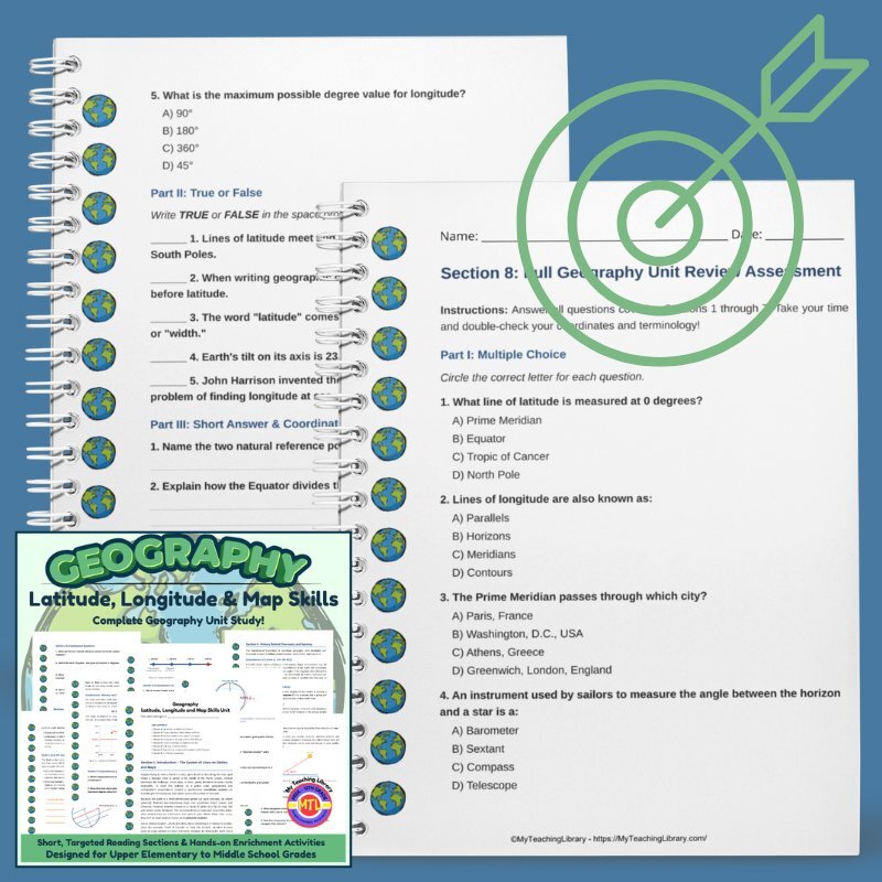
Section 8: Full Geography Unit Review Assessment
Complete Teacher Answer Keys
🧠 Core Social Studies & Map Skills Covered
💡 Why You’ll Love This Unit
🎯 How to Use Suggestions
🛒 Ready to Master Geography & Navigation?
Equip your students with lifetime map-reading confidence, historical context, and spatial reasoning skills!
Includes High-Value Components:
Structured Content: 7 full instructional reading sections covering core concept skills, history, and real-world application (e.g., sextant navigation, Greenwich conference).
Built-in Assessment: Section-by-section comprehension questions plus a full unit review test.
Convenience: Complete answer keys for all sections and tests.
STEM / Hands-On Enrichment: Multi-sensory lab activities (cardboard sextant lab, edible orange-peel map projection, living history journal entry)
All-Access members do not pay for this or any resource.
Become an All-Access member today!
________________________
|
Get the MOST from My Teaching Library by connecting with us here: |
Only logged in customers who have purchased this product may leave a review.
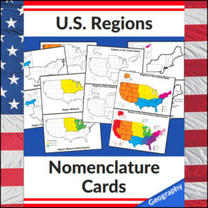
Mastering the map has never been more visual! This set of 20 professional nomenclature cards is the perfect foundational tool for any U.S. geography unit. Based on the 4 regions as defined by the U.S. Census Bureau (Northeast, Midwest, South, and West), these cards provide a clear, structured way for students to visualize how the United States is organized.
From full-color coded keys to black-and-white standalone regional maps, this versatile set helps students transition from “the big picture” to specific regional details with ease.
🧠 The “How” and “Why” (Educational Benefits)
Why use nomenclature cards for geography? It’s all about spatial recognition and scaffolded learning:
🛠️ Ways to Use These
🚀 Help Your Students Find Their Way!
Equip your geography explorers with the visual tools they need to master U.S. Geography. Add these US Regions Nomenclature Cards to your teaching toolkit today and watch their map-reading confidence soar! 🌟
UPGRADE and get this BUDNLE: Regions of the U.S.A. | Geography Bundle
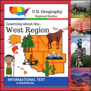
🏔️ From the volcanic peaks of Hawaii and the glaciers of Alaska to the sun-drenched deserts of the Southwest, the West Region is a land of extremes! This 15-page geography resource provides a structured, “textbook-style” exploration of the 13 states that make up this diverse region.
Following the U.S. Census Bureau regional divisions, this unit covers: Alaska, Hawaii, Washington, Oregon, California, Nevada, Idaho, Montana, Wyoming, Utah, Colorado, Arizona, and New Mexico.
🧠 The “How” and “Why” (Educational Benefits)
Why choose this unit for your geography curriculum? It’s designed to help students master complex information through high-interest content:
🛠️ Ways to Use
📝 What’s Inside This 15-Page Resource:
Pro Tip: For the ultimate hands-on experience, pair this unit with the US Geography – West Scrapbooking Pages! Students can use the facts they learn here to create a beautiful, illustrated travel journal of the Western states.
🚀 Adventure into the West Today!
Give your students a clear, professional, and engaging path to mastering U.S. Geography. Download the Regions of the U.S. – West Region unit and watch your young explorers discover the wonders of the American West!
⭐ This product is included in a $$$ SAVING BUNDLE: Regions of the U.S.A. | Geography Bundle
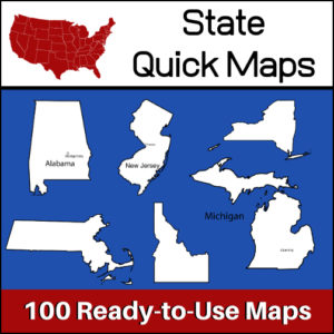
100 U.S. State outline maps – 2 maps for each state on one page:
Maps can be used for projects, bulletin boards, lesson plans and presentations.
Non-commercial use only.
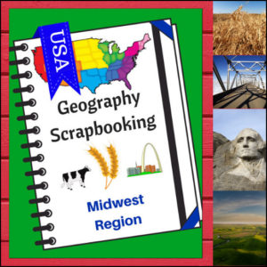
🌽 Bring the “Heartland” to life with this creative, hands-on geography resource! As your students explore the Midwest region, these scrapbooking pages provide a structured yet artistic way for them to document their discoveries. From the Great Lakes to the rolling prairies, students will transition from passive readers to active explorers as they curate their own regional “travel log.”
This 5-page set is designed to be a flexible companion to any geography curriculum, allowing students to combine factual research with personal expression.
🧠 The “How” and “Why” (Educational Benefits)
Why choose scrapbooking for geography? It’s all about engaging the whole learner:
🛠️ Ways to Use These Pages in Your Classroom
📝 What’s Included:
Pro Tip: This set is designed to pair perfectly with Regions of the U.S. – Midwest Region | Informational Text and Worksheets for a comprehensive, ready-to-go geography unit!
🚀 Start the Heartland Adventure!
Turn geography into a keepsake! Download the Midwest Scrapbooking Pages today and give your students a creative way to master the map!
⭐ This product is included in a $$$ SAVING BUNDLE: Regions of the U.S.A. | Geography Bundle


Reviews
There are no reviews yet.