Category: Social Studies
- Home
- /
- Shop
- /
- By Grade
- /
- 6th-8th
- /
- Social Studies
- /
- Page 6
Showing 101–120 of 202 resultsSorted by latest
-
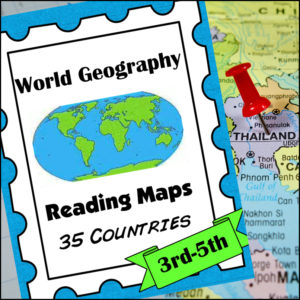 $8.00Buy NowHelp students master an important life skill, map reading, with this geography resource! It includes maps of 35 countries from around the world and students will practice identifying direction, using a scale of miles/km, reading & using a map key, finding places and determining specific information from given information, calculate distance and more!
This product is designed for 3th-5th grades but can be a good edition for 6th-8th graders who need extra practicing reading maps! -
 $3.00Buy Now
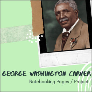
George Washington Carver was an American agricultural scientist and inventor. He actively promoted alternative crops to cotton and methods to prevent soil depletion. Apart from his work to improve the lives of farmers, Carver was also a leader in promoting environmentalism. He received numerous honors for his work, including the Spingarn Medal of the NAACP. In an era of high racial polarization, his fame reached beyond the black community. He was widely recognized and praised in the white community for his many achievements and talents. In 1941, Time magazine dubbed Carver a “Black Leonardo”.
If you are looking for a student centered resource to help students learn and practice research skills, report writing skills, project skills, presentation skills and more. Use it within a Language Arts classroom or a Social Studies / U.S. History classroom. Very flexible and cross-curricular!
-
 $3.75Buy Now
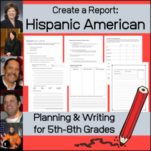
Have your students complete a biographical research report on a Hispanic American with the help of this resource. Your students may need some guidance in the planning, organizing and presenting a wonderful project, so I have included several thing to aid them.
-
 $1.00Buy Now
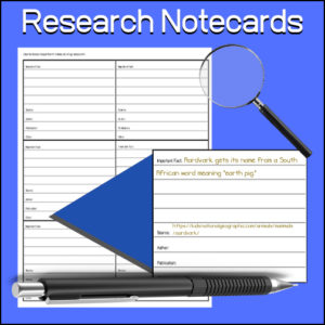
A student tool to aid them in research. Students will use to keep notes while researching. Each card has a place to record:
- -Important fact
- -Source
- -Author
- -Publication
- -Other
Can be used for any subject or research project.
-
 $3.00Buy Now
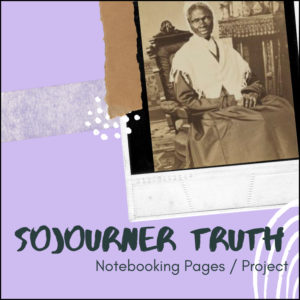
Sojourner Truth was an African-American abolitionist and women’s rights activist. Truth was born into slavery but escaped with her infant daughter to freedom in 1826. After going to court to recover her son in 1828, she became the first black woman to win such a case against a white man.
If you are looking for a student centered resource to help students learn and practice research skills, report writing skills, project skills, presentation skills and more. Use it within a Language Arts classroom or a Social Studies / U.S. History classroom. Very flexible and cross-curricular!
-
 $1.75Buy Now
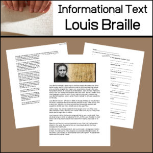
In this informational article, students will learn about Louis Braille and the system he invented so that people who can not see (the blind) can read!
Includes:
- -Informational text article
- -Reading comprehension assessment worksheet (short answer)
- -Answer key
Reading Level:
Automated Readability Index: 8
Grade level: 12-14 yrs. old (Seventh and Eighth graders) -
 $4.00Buy Now
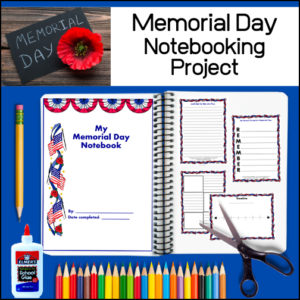
This resource provides students with engaging materials to create a lasting Memorial Day project. Students are given suggested Memorial Day topics to study as well as a list of suggested books (to get them started). As students learn about Memorial Day and associated vocabulary (included), they will organize and record the information within their notebooking project. Templates are designed for collecting and recording research information, reports, timelines, vocabulary work, poetry and more.
Included:
– Creating a Notebooking Project…What is notebooking instructional page
– Supply list
– Evaluation rubric
– Organizational Pages for student use
– Suggested topics and reading list
– Related vocabulary list
– 3 Cover pages
– 27 different notebooking template pages (each in both color and b/w) -
 $1.50Buy Now
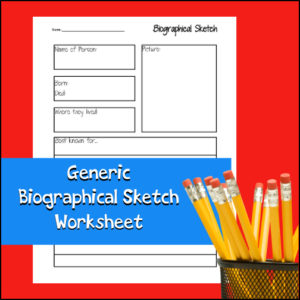
Students can use this worksheet again and again to record short biographies on any person for any subject. This worksheet can be used alone or as part of a larger report or notebooking project. Students can report on inventors, scientists, explorers, mathematicians, musicians, famous Americans, etc!
-
 $4.50Buy Now
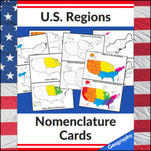
This set of U.S. Regions – Geography – Nomenclature cards consists of 20 cards. Use in any study of Geography of the United States, individual state studies, in centers, as handouts, on displays, etc! This set has the U.S. divided into *4 regions as defined by the U.S. Census Bureau
Cards in this set:- Regions of the United States in color with coded key (4 regions*)
- Regions of the United States in color with coded key with state names
- Regions of the United States in b/w and separated
- Regions of the United States in b/w and separated with state names
- Northeast Region (in color displayed on b/w full U.S. map)
- Northeast Region with state names (in color displayed on b/w full U.S. map)
- Northeast Region b/w standing alone (with small insert of region in color displayed on b/w full U.S. map)
- Northeast Region b/w standing alone with state names (in color displayed on b/w full U.S. map)
- Midwest Region (in color displayed on b/w full U.S. map)
- Midwest Region with state names (in color displayed on b/w full U.S. map)
- Midwest Region b/w standing alone (with small insert of region in color displayed on b/w full U.S. map)
- Midwest Region b/w standing alone with state names (in color displayed on b/w full U.S. map)
- South Region (in color displayed on b/w full U.S. map)
- South Region with state names (in color displayed on b/w full U.S. map)
- South Region b/w standing alone (with small insert of region in color displayed on b/w full U.S. map)
- South Region b/w standing alone with state names (in color displayed on b/w full U.S. map)
- West Region (in color displayed on b/w full U.S. map)
- West Region with state names (in color displayed on b/w full U.S. map)
- West Region b/w standing alone (with small insert of region in color displayed on b/w full U.S. map)
- West Region b/w standing alone with state names (in color displayed on b/w full U.S. map)
⭐ This product is included in a $$$ SAVING BUNDLE: Regions of the U.S.A. | Geography Bundle
-
 $6.00Buy Now
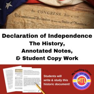
This product includes the history of the Declaration of Independence, important annotated notes (to help students understand it) and a student copy work section where they are asked to write this historic document. The copy work section is broken into 17 sections. In each, students will copy the text and then be asked to write any unfamiliar words and ideas. Then, they are asked to look up the definition of those words and research the ideas.
-
 $2.50Buy Now
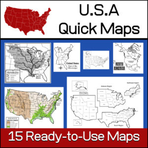
15 ready-to-use maps of the United States. Use for class projects, to create lessons or presentations.
Non-commercial use only.Includes:
– 2 maps showing the US within North America
– US maps (with states names and unnamed)
– US regional maps (with states names and unnamed)
– US east of the Mississippi (with states names and unnamed)
– US west of the Mississippi (with states names and unnamed)
– Physical Maps of the US (color and b/w)
– The Mississippi River with tributaries (states named) -
 $4.99Buy Now
This American Revolution resource has been designed for use in both Language Arts and History classes. It includes 10 informational articles for students to read. Each article has a multiple choice worksheets as well as a short answer worksheet to check student understanding / comprehension of the passages. Answer Keys Provided.
-
 $4.00Buy Now
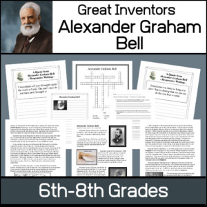
This resource will help students learn about Alexander Graham Bell, the man and his inventions. Unit includes…
- – Informational article on Bell’s life and inventions
- – Worksheets to assess understanding of material
- – List of Patents granted to Bell
- – 12 Notebooking / Report pages
- – Answer Keys
-
 $1.50Buy Now
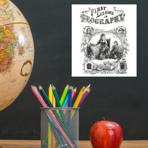
This is a downloadable copy of the book. (74 pages)
About the book: This book was written in 1856 is written in a question – answer format:
Q. What is Geography?
A. A description of the Earth’s surfact
Q. What is the Earth
A. The planet or body on which we live.
Q. What is a Continent?
A. The largest division of land.Because it was written in the mid 19th century, all of the maps are outdated…However, this can lend itself to great teaching lessons! Compare and contrast the old with the new. Research what events in history led up to the changes from then to now, etc.!
-
 $15.00Buy Now
Teachers edition to be used with:
Economics Curriculum – Student Edition (separate resource) -
 $5.00Buy Now
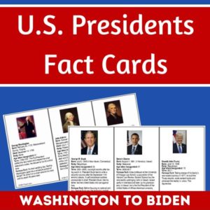
Studying the U.S. Presidents, U.S. History, or U.S. Government? These U.S. Presidents Fact Cards are perfect for students wanting to learn more about each president, from Washington to Biden. Also includes 2 blank templates to use for future presidents.
Three info cards per page, each approximately 5″ x 3″. To use year after year, laminate the cards after you print and cut out.
Each card includes:
- Photo and Name
- Date of Birth (some include date of death)
- Party affiliation
- Age when inaugurated
- Term (years of service)
- A famous fact(s)
-
 $3.25Buy Now
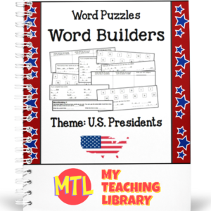
Challenge students’ critical thinking skills and knowledge of the U.S. Presidents with these 5 Word Builder puzzles with a U.S. Presidents theme!
See description below for details about these puzzles.
-
 $1.25Buy Now
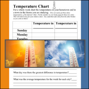
A biome is a large geographical area that contains distinct plant and animal groups which are adapted to live in that environment. There can be many different habitats in a biome. Some major biomes are tundra, taiga, grasslands, deciduous forest, fresh water, desert, alpine, rainforest and ocean. When studying a specific biome, use this temperature comparison chart to record the temperature in the student’s hometown and the biome of study for a week! (Use again and again with each biome studied)
Science meets Geography
-
 $5.00Buy Now
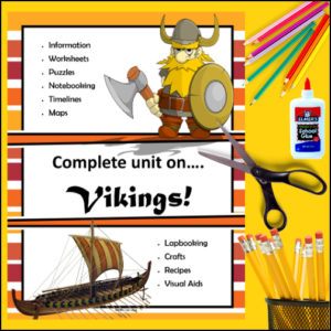
This Vikings resource will have students interactively learning (and creating) as they learn about the lives these Norsemen explorers. Students will learn about their exploration, trade, ships, clothing, every day life and more.
This resource includes:
- – Informational text and worksheets
- – Notebooking / Report pages
- – Lapbooking Section
- – Visual Aids
- – Map Work
- – Crafts
- – Recipes
- – Puzzles
- – …and more
-
 $4.99Buy Now
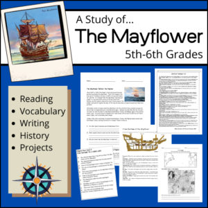
With this comprehensive, cross-curricular unit study on the Mayflower, your students are going to read informational text to learn about the ship, its voyages, and its passengers (the Pilgrims). Students will also work with vocabulary related to ship navigational instruments, sections of the ship as well as words used in a farewell letter written to the passengers of the Mayflower. Perfect to use when studying the founding of the New World or during November (prior to Thanksgiving).
Students will be asked to…
- – Answer comprehension questions and questions to challenge their thoughts
- – Research and define unknown terms and vocabulary
- – Write a first person narrative
- – Complete hands-on projects
