
Category: Geography
Showing 21–40 of 112 resultsSorted by latest
-
 $3.00Add to Cart
K-2nd grade students will love creating and reading this 12 page minibook while learning about the South American country of Peru! Students will learn about the country’s location, official language, traditional clothing, animals, national dish and more! There are two pages of copy work to practice handwriting and plenty of pictures to color while they are learning about the cultural highlights of the country.
Use alone or with My Teaching Library’s other country study minibooks!
-
 $3.00Add to Cart
Young learners will love creating and reading this 12 page minibook while learning about the South American country of Colombia!
Students will learn about the country’s location, official language, traditional clothing, animals, national dish and more! There are two pages of copy work for little hands to practice handwriting and plenty of pictures to color.
Use alone or with My Teaching Library’s other country study minibooks!
-
Sale!
 Original price was: $6.00.$5.00Current price is: $5.00.Add to Cart
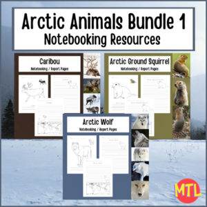
This Arctic Animal Notebooking Bundle includes three products: Arctic Wolf, the Arctic Ground Squirrel and the Caribou. Each individual resource can be used when studying the arctic habitat, tundra animals or as a cross-curricular unit that will have students reading, writing, completing map work (geography) and learning about the lives of these animals (science).
-
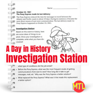
A Day in History – Investigation Station | October 24 Pony Express to Pinterest (opens in a new window)
 $1.00Add to Cart
A Day in History – Investigation Station is a series of fun sleuthing research and writing activities based on a single event on a specific day in history! This resource focuses on the Pony Express.
Students will learn about an event and be given several topics from which to choose to ‘investigate’. After some exploration, students are asked to write what they have discovered and name used sources.
So…with each lesson, students will:
▪ (Read) Learn one ‘On this Day in History’ fact.
▪ (Investigate) Take a related topic and explore it through the use of different forms of media (i.e. books, internet).
▪ (Write) Summarize and write what they have discovered. This also should include the recording of sources. -
$3.00Add to Cart
Students will love creating and reading this 12 page mini book while learning about the South American country of Chile!
Students will learn about the country’s location, official language, traditional clothing, animals, national dish and more! There are two pages of copy work and plenty of pictures to color.
-
$3.00Add to Cart
Students will love creating and reading this 12 page mini book while learning about the South American country of Brazil!
Students will learn about the country’s location, official language, traditional clothing, animals, a popular dish and more! There are two pages of copy work and plenty of pictures to color.
-
$3.00Add to Cart
Students will love creating and reading this 12 page mini book while learning about the South American country of Bolivia!
Students will learn about the country’s location, official language, traditional clothing, animals, a staple food grown there and three famous places! There are two pages of copy work and plenty of pictures to color.
-
$3.00Add to Cart
Students will love this minibook that they can personally create while learning about Argentina!
Students will learn about the country’s location, official language, traditional clothing, the national bird, national dish, national flower, national gemstone, a rare animal, what a coin and the flag looks like! There are two pages of copy work and plenty of pictures to color.
-
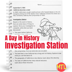
A Day in History – Investigation Station | September 9 – California becomes a State to Pinterest (opens in a new window)$1.00Add to Cart
A Day in History – Investigation Station is a series of fun sleuthing research activities based on a single event on a specific day in history! This resource focus is on California. Investigation ideas include the ‘Gold Rush’, the Compromise of 1850, the state’s long and rich history, the geography and the natural resources.
Students will learn about an event and be given several topics from which to choose to ‘investigate’. After some exploration, students are asked to write what they have discovered and name used sources.
So…with each lesson, students will:
▪ (Read) Learn one ‘On this Day in History’ fact.
▪ (Investigate) Take a related topic and explore it through the use of different forms of media (i.e. books, internet).
▪ (Write) Summarize and write what they have discovered. This also should include the recording of sources. -
A Day in History – Investigation Station | August 25 – National Park Service was established to Pinterest (opens in a new window)$1.00Add to Cart
A Day in History – Investigation Station is a series of fun sleuthing research activities based on a single event on a specific day in history!
Students will learn about an event and be given several topics from which to choose to ‘investigate’. After some exploration, students are asked to write what they have discovered and name used sources.
-
$3.00Add to Cart
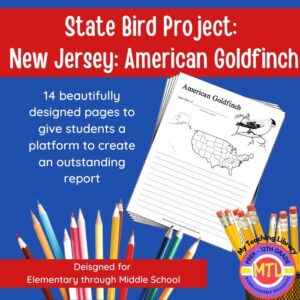
Studying the state of New Jersey and state symbols? What is the state bird of New Jersey? This project-based unit is designed to help students study and record information about New Jersey’s state bird: American Goldfinch
⭐Included:
– A map page (for the state)
– Scientific classification page
– A page for students to give details about the bird’s physical description, habitat, diet, life span and reproduction
– A page where students will do additional map work to show where in the U.S. the bird lives in addition to migration information
– Coloring page
– Several pages on which students can use for expository and/or creative writing as well as sections in which students may draw.⭐ 14 pages in all and is designed for different levels / abilities.
My Teaching Library has a notebooking set for each of all 50 states. In addition, you can get all of them bundled!
Here are other bird related products you’ll love…
-
$3.00Add to Cart
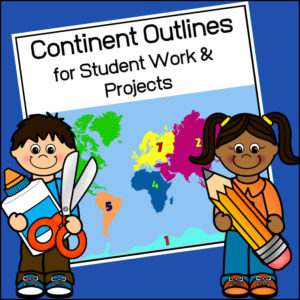
This resource, Continent Outlines for Student Work and Projects, contains 14 pages of continent outlines (7 labeled, 7 unlabeled). This is not clipart but ready to use outlines, just print and give to students to use however they need to!
-
$8.00Add to Cart
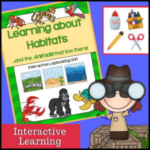
This unit on habitats and the animals that live in each is an interactive learning unit that allows students to be hands-on and create a beautiful project be the completion of the study! Use as a mini-course, in a Science center or in conjunction with another habitat study.
Use the complete unit (or) use only parts of it. Designed for 2nd-4th grades so it has been designed to work well with multiple ages/grades.
Includes:
– Instructions
– Informational text (Definition of habitat plus information on these 8 different habitats: desert, forest, ocean, arctic, wetlands, grasslands, rainforest and jungle)
– Suggested book recommendations for further study
– Project pieces (cover pages, vocabulary, definitions, habitat cards, mini-book, habitat flapbooks, habitat pockets to insert included animal cards, basic needs spinning template, favorite animal templates plus clip art)Comes in both black/white pages as well as color (so you decide if you want to print using color ink or not as well as if you want your students to color or not).
See included habitats and animals in description below.
-
$3.50Add to Cart
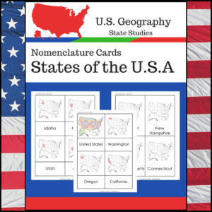
Students learning about individual U.S. States? This resource, Geography Nomenclature Cards – States of the U.S.A., will be a great addition to your classroom.
Includes two sets of State nomenclature cards PLUS pocket templates. Set one is best used with the pockets (see included photo). Set two can be used with or without the pockets. Students can use either (both) sets to study the location of each state. Students can also test themselves to see if they know the name of each state when shown the location!
-
$3.00Add to Cart
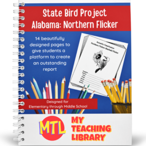
Studying the state of Alabama? Perhaps doing a unit on Ornithology? This project based unit is designed to help students study and record information about Alabama’s state bird – the Northern Flicker!
What type of pages are contained in this set:
– A map page (for the state)
– Scientific classification page
– A page for students to give details about the bird’s physical description, habitat, diet, life span and reproduction
– A page where students will do additional map work to show where in the U.S. the bird lives in addition to migration information
– Coloring page
– Several pages on which students can use for expository and/or creative writing as well as sections in which students may draw.14 pages in all and is designed for different levels / abilities.
My Teaching Library has a notebooking set for each of all 50 states. In addition, you can get all of them bundled!
If you only want a specific state, type in the search bar the state you want + ‘notebooking set’ (Example: West Virginia Notebooking Set)
Here are other bird related products you’ll love…
-
$3.00Add to Cart
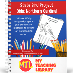
Studying the state of Ohio and state symbols? What is the state bird of Ohio?
This project-based unit is designed to help students study and record information about Ohio’s state bird: Northern Cardinal
⭐ 14 pages in all and is designed for different levels / abilities.
– A map page (for the state)
– Scientific classification page
– A page for students to give details about the bird’s physical description, habitat, diet, life span and reproduction
– A page where students will do additional map work to show where in the U.S. the bird lives in addition to migration information
– Coloring page
– Several pages on which students can use for expository and/or creative writing as well as sections in which students may draw.My Teaching Library has a notebooking set for each of all 50 states. In addition, you can get all of them bundled!
Here are other bird related products you’ll love…
- North American Birds of Prey Research / Report Pages
- Birds if Prey Flashcards
- Audubon’s Birds – Coloring Book (80 species)
- U.S. State Birds Coloring Book
-
$3.00Add to Cart
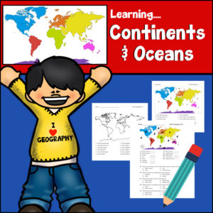
This resource provides a hands-on, interactive way for students to master world geography by identifying and learning about the world’s seven continents and five oceans. Designed as a print-n-go resource, it includes:
-
Skill-Building Exercises: Engaging activities that prompt students to label, color-code, and identify geographic features, reinforcing their spatial awareness of the globe.
-
Assessment Tools: A structured answer key is provided, making it an excellent resource for self-checking or quick grading.
-
Visual Learning: The straightforward layout encourages students to engage with maps directly, helping them develop a solid foundation in physical geography.
Whether used as a primary instructional tool or as a supplemental activity for reinforcing map-reading skills, this resource is a helpful asset for building geographic literacy in early to middle elementary grade levels.
Specifics:
- Worksheets #1-5 – Students will be given a coded world map and asked to (1) identify each continent and ocean; (2) answer directional questions such as “Which ocean touches the Africa’s western border?”
- Worksheets #6-7 – Students will need to write out the names of each continent and ocean (#6 has a word bank; #7 does not)
- Worksheet #8 – Students will follow directions to color each continent a particular color and how to label each ocean.
- Answer Keys
Print and Go – Ready to use!
Place in your cart and download today!
-
-
$3.00Add to Cart
Studying the state of Oklahoma? Perhaps doing a unit on Ornithology? This project-based unit is designed to help students study and record information about Oklahoma’s state bird – Scissor-Tailed Flycatcher!
Included:
– A map page (for the state)
– Scientific classification page
– A page for students to give details about the bird’s physical description, habitat, diet, life span and reproduction
– A page where students will do additional map work to show where in the U.S. the bird lives in addition to migration information
– Coloring page
– Several pages on which students can use for expository and/or creative writing as well as sections in which students may draw.14 pages in all and is designed for different levels / abilities.
My Teaching Library has a notebooking set for each of all 50 states. In addition, you can get all of them bundled!
If you only want a specific state, type in the search bar the state you want + ‘notebooking set’ (Example: West Virginia Notebooking Set)
Here are other bird related products you’ll love…
-
$2.00Add to Cart
This resource on the famous national landmark, the Lincoln Memorial has been designed for use in 3rd-4th grade classrooms. It is cross-curricular so it can be used as a Social Studies / History lesson(s) or an English / Language Arts lesson(s)!
(See description below for additional information)
-
$3.00Add to Cart
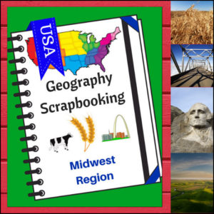
🌽 Bring the “Heartland” to life with this creative, hands-on geography resource! As your students explore the Midwest region, these scrapbooking pages provide a structured yet artistic way for them to document their discoveries. From the Great Lakes to the rolling prairies, students will transition from passive readers to active explorers as they curate their own regional “travel log.”
This 5-page set is designed to be a flexible companion to any geography curriculum, allowing students to combine factual research with personal expression.
🧠 The “How” and “Why” (Educational Benefits)
Why choose scrapbooking for geography? It’s all about engaging the whole learner:
- Visual & Kinetic Memory: By drawing or searching for pictures to paste, students create strong visual anchors for geographical concepts like landforms and landmarks. 🎨
- Synthesized Writing: Writing “short sentences” requires students to summarize what they’ve learned, which is a higher-level thinking skill than simply copying definitions. ✍️
- Student Agency: The “Personal Opinion” section empowers students to connect with the material on a human level—deciding for themselves what makes a location worth visiting. 💭
- Multi-Category Mastery: These pages ensure students don’t just learn “where” a place is, but “what” it is, covering: Climate, Landforms, Water, Natural Resources, Landmarks, and Culture. 🚜🏗️
🛠️ Ways to Use These Pages in Your Classroom
- The “Midwest Research” Project: Have students use “Regions of the U.S. – Midwest Region | Informational Text and Worksheets”, library books or safe search engines to find the facts needed to “fill their scrapbook” independently. 🔍
- A Creative Unit Wrap-Up: After finishing a unit on the Midwest, use these pages as a fun alternative to a traditional test to assess what information stuck.
- Travel Journaling: Pretend the lesson time is a time to go on a cross-country road trip. Each day, “stop” in the Midwest and have students update their scrapbooks with what they “saw.” 🚗💨
- Collaborative Portfolios: Collect the pages over the course of the year as students study every region, eventually binding them into a complete “Tour of the USA” book. 📁
📝 What’s Included:
- 5 Creative Scrapbooking Pages: Specifically tailored to the Midwest region.
- Guided Prompts: Dedicated sections for drawing/pasting and writing about climate, resources, landmarks, and more.
- Map Integration: Practice naming the states within the Heartland.
- Personal Reflection: A “Where to Visit” section to spark imagination and travel dreams.
Pro Tip: This set is designed to pair perfectly with Regions of the U.S. – Midwest Region | Informational Text and Worksheets for a comprehensive, ready-to-go geography unit!
🚀 Start the Heartland Adventure!
Turn geography into a keepsake! Download the Midwest Scrapbooking Pages today and give your students a creative way to master the map!
⭐ This product is included in a $$$ SAVING BUNDLE: Regions of the U.S.A. | Geography Bundle