
Category: 6th-8th
Showing 101–120 of 208 resultsSorted by latest
-
 $1.00Add to Cart
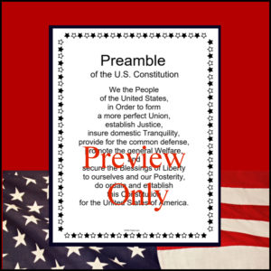
This resource is a one page b/w poster of the Preamble of the United States Constitution.
-
$3.00Add to Cart
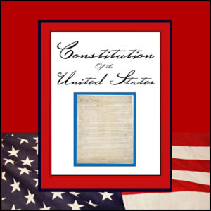
This resource is a complete transcript of the United States Constitution including amendments 1 – 27. It is b/w (print and go) and in 23 pages in length.
-
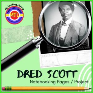
Dred Scott Project-Based Unit | Research – Writing – Presentation to Pinterest (opens in a new window)$3.00Add to Cart
✏️A student-centered resource to help students learn and practice research skills, report writing, project and presentation skills.
Students will use this project-based unit to learn about and report on Dred Scott. Dred Scott was an enslaved African American man in the United States who unsuccessfully sued for his freedom and that of his wife and their two daughters in the Dred Scott v. Sandford case of 1857, popularly known as the “Dred Scott case”.
✏️This notebooking project unit can be assigned individually or within cooperative groups. Use it within a Language Arts classroom or a Social Studies / U.S. History classroom. Very flexible and cross-curricular! After completing the written portion of this resource, you can grade it (or) assign students to do an oral and/or audio-visual presentation based on their findings/work.
✏️What is in this resource?
- Student instructions for using biographical notebooking, project pages
- Suggested research questions
- Student notebooking, project pages (includes covers, KWL, reference recording, report writing, and more)
- Teacher pages (instructions, assignment, evaluation)
-
FREEAdd to Cart
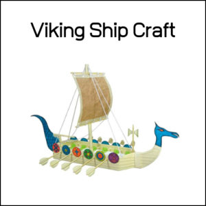
Here is a free craft idea for those studying the vikings or (really) for anytime!
Using recycled materials from around your home, step by step instructions are given to help you create a viking longship.
-
$2.00Add to Cart
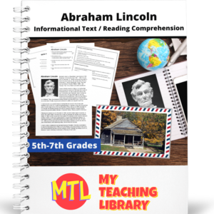
This informational resource on Abraham Lincoln is designed to give 5th – 7th graders practice reading and comprehending content area text. There are two pages of text which will cover Lincoln’s life beginning in Kentucky and progresses through his life touching on his family, his career as a lawyer, his election in 1860 and finally his death by the hands of John Wilkes Booth. After reading both the text and two charts (quick facts and fun facts), students will complete a comprehension worksheet. Finally, there is a fun postcard writing activity asking them to write to President Lincoln.
-
$3.00Add to Cart
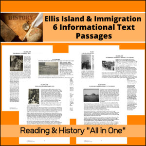
This resource, Immigration – Ellis Island – US History Informational Text, has SIX parts: The Early Days, 1892-1954 Gateway to the United States, The Immigrant Experience, Why They Came, From WWII to the Present and Ellis Island Name Change Myth.
In each part, students will have one page of informational text and then a page of multiple choice questions plus one essay question to assess understanding / comprehension. Answer Keys provided.
-
$3.00Add to Cart
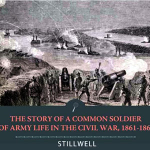
Leander Stillwell was typical of thousands of Northern boys who answered President Lincoln’s call for volunteers. In January 1862, only a few months past his 18th birthday, and only after he and his father had sowed the wheat, gathered the corn and cut the winter firewood, Stillwell left his family’s log cabin in the Jersey County backwoods of western Illinois and enlisted in Company D of the 61st Illinois Infantry Regiment. For three and a half years he served in the Western theater of operations as a noncommissioned officer before being mustered out as a lieutenant in September 1865. His first—and biggest—battle, Shiloh, was the one he remembered most vividly. He also took part in skirmishes in Tennessee and Arkansas, as well as the Siege of Vicksburg. In The Story of a Common Soldier Stillwell tells of his Army experiences, as critic H. L. Mencken observed admiringly in a review, “in plain, straightforward American, naked and unashamed, without any of the customary strutting and bawling.” Small for his age and given to taking solitary walks in the woods beyond the picket lines, Stillwell was nevertheless an enthusiastic and obedient soldier. “Just a little mortifying,” was Stillwell’s reaction when his regiment missed two battles because it had been left to guard a town in Tennessee. But, he hastened to add, “the common soldier can only obey orders, and stay where he is put, and doubtless it was all for the best.”
-
$1.75Add to Cart
This informational article will explain to students that the word “Hispanic” is a cultural word and that people from more than 20 countries and nationalities are considered Hispanic. This cultural people group can be divided in many ways. There are Indo-Hispanics, Afro-Hispanics, Cuban-Americans and Mexican-Americans. Students will also learn how those ethnic groups can be broken down into other groups and why there has been an entire month dedicated to celebrating the many cultural diversities and people of Hispanic descent.
-
$4.00Add to Cart
This resource will help students learn about Eli Whitney, the man, his inventions and his impact on the U.S. economy.
Unit includes…
- – Informational articles on Whitney, the cotton gin, cotton, and his economic influence
- – Worksheets to assess understanding of material
- – 10 Notebooking / Report pages
- – Answer Keys
-
$8.75Add to Cart
A comprehensive map-reading resource designed to help students develop essential navigation and analytical skills by focusing on 35 different countries.
Key Features:
-
Country-Specific Focus: For each country, students are given a map and asked specific questions that will require them to read the map to answer. (Questions may be things such as the location of the capital, naming rivers that are within or border the country, mountain ranges within the country, what nations border the country, etc.)
-
Critical Thinking Exercises: The worksheets go beyond simple identification, prompting students to solve navigation problems, determine cardinal directions, and estimate distances between major cities.
-
Integrated Learning: The resource connects physical geography with logical reasoning, helping students understand how environmental features like mountain ranges and bodies of water shape national landscapes and travel routes.
-
Ready-to-Use Answer Keys: The included answer keys make this an efficient tool for independent study, homeschooling, or classroom assessment.
Countries included: Algeria. Antarctica. Argentina. Australia. Bolivia. Brazil. Canada. Chile. China. Colombia. Ecuador. Egypt. Ethiopia. France. Ghana. Greece. Spain/Portugal. India. Iran. Iraq. Ireland. Italy, Japan, Kenya, Liberia, Libya, Madagascar, Mexico, Morocco, Nigeria, Peru, Russia, Saudi Arabia, South Africa, Uganda
This resource is an ideal addition to any social studies program, providing the structure needed for students to build confidence in reading maps and understanding global geography.
-
-
George Washington Carver Project-Based Unit | Research – Writing – Presentation to Pinterest (opens in a new window)$3.00Add to Cart
✏️A student-centered resource to help students learn and practice research skills, report writing, project and presentation skills.
Students will use this project-based unit to learn about and report on George Washington Carver. George Washington Carver was an American agricultural scientist and inventor. He actively promoted alternative crops to cotton and methods to prevent soil depletion. Apart from his work to improve the lives of farmers, Carver was also a leader in promoting environmentalism. He received numerous honors for his work, including the Spingarn Medal of the NAACP. In an era of high racial polarization, his fame reached beyond the black community. He was widely recognized and praised in the white community for his many achievements and talents. In 1941, Time magazine dubbed Carver a “Black Leonardo”.
✏️This notebooking project unit can be assigned individually or within cooperative groups. Use it within a Language Arts classroom or a Social Studies / U.S. History classroom. Very flexible and cross-curricular! After completing the written portion of this resource, you can grade it (or) assign students to do an oral and/or audio-visual presentation based on their findings/work.
✏️What is in this resource?
- Student instructions for using biographical notebooking, project pages
- Suggested research questions
- Student notebooking, project pages (includes covers, KWL, reference recording, report writing, and more)
- Teacher pages (instructions, assignment, evaluation)
-
$3.75Add to Cart
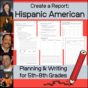
Have your students complete a biographical research report on a Hispanic American with the help of this resource. Your students may need some guidance in the planning, organizing and presenting a wonderful project, so I have included several thing to aid them.
-
$1.00Add to Cart
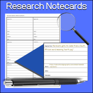
A student tool to aid them in research. Students will use to keep notes while researching. Each card has a place to record:
- -Important fact
- -Source
- -Author
- -Publication
- -Other
Can be used for any subject or research project.
-
Sojourner Truth Project-Based Unit | Research – Writing – Presentation to Pinterest (opens in a new window)$3.00Add to Cart
✏️A student-centered resource to help students learn and practice research skills, report writing, project and presentation skills.
Students will use this project-based unit to learn about and report on Sojourner Truth.Sojourner Truth was an African-American abolitionist and women’s rights activist. Truth was born into slavery but escaped with her infant daughter to freedom in 1826. After going to court to recover her son in 1828, she became the first black woman to win such a case against a white man.
✏️This notebooking project unit can be assigned individually or within cooperative groups. Use it within a Language Arts classroom or a Social Studies / U.S. History classroom. Very flexible and cross-curricular! After completing the written portion of this resource, you can grade it (or) assign students to do an oral and/or audio-visual presentation based on their findings/work.
✏️What is in this resource?
- Student instructions for using biographical notebooking, project pages
- Suggested research questions
- Student notebooking, project pages (includes covers, KWL, reference recording, report writing, and more)
- Teacher pages (instructions, assignment, evaluation)
-
$1.75Add to Cart
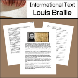
In this informational article, students will learn about Louis Braille and the system he invented so that people who can not see (the blind) can read!
Includes:
- -Informational text article
- -Reading comprehension assessment worksheet (short answer)
- -Answer key
Reading Level:
Automated Readability Index: 8
Grade level: 12-14 yrs. old (Seventh and Eighth graders) -
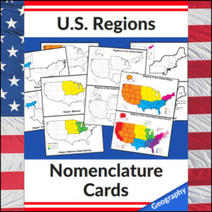
US Regions Nomenclature Cards | Geography – Social Studies Visual Aids – Maps to Pinterest (opens in a new window)$6.00Add to Cart
Mastering the map has never been more visual! This set of 20 professional nomenclature cards is the perfect foundational tool for any U.S. geography unit. Based on the 4 regions as defined by the U.S. Census Bureau (Northeast, Midwest, South, and West), these cards provide a clear, structured way for students to visualize how the United States is organized.
From full-color coded keys to black-and-white standalone regional maps, this versatile set helps students transition from “the big picture” to specific regional details with ease.
🧠 The “How” and “Why” (Educational Benefits)
Why use nomenclature cards for geography? It’s all about spatial recognition and scaffolded learning:
- Visual Discrimination: By seeing a region highlighted in color against a grayscale map of the whole U.S., students naturally learn exactly where that region sits in relation to the rest of the country. 📍
- Scaffolded Difficulty: Start with the cards that include state names for guided learning, then transition to the name-free cards to challenge their memory. 🎓
- Standards-Aligned: Because these follow the U.S. Census Bureau divisions, you can be confident your students are learning the most widely accepted geographic classifications used in social studies. ✅
- Versatility: The mix of color and black-and-white versions allows for high-impact visual aids or budget-friendly, student-ready worksheets.
🛠️ Ways to Use These
- Geography Centers: Laminate the color cards and use them as a “match the region” game or sorting activity. 🧩
- Interactive Notebooks: Print the black-and-white versions for students to color in, label, and glue into their social studies journals. 📓
- Flashcard Drills: Use the cards to quiz students on state locations within specific regions (e.g., “Which states are in the Midwest?”). ⚡
- Display: Create a stunning “Geography Wall” using the full-color coded keys as a reference point for students during independent work. 🖼️
🚀 Help Your Students Find Their Way!
Equip your geography explorers with the visual tools they need to master U.S. Geography. Add these US Regions Nomenclature Cards to your teaching toolkit today and watch their map-reading confidence soar! 🌟
UPGRADE and get this BUDNLE: Regions of the U.S.A. | Geography Bundle
-
$2.50Add to Cart
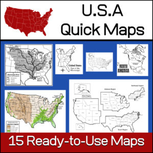
15 ready-to-use maps of the United States. Use for class projects, to create lessons or presentations.
Non-commercial use only.Includes:
– 2 maps showing the US within North America
– US maps (with states names and unnamed)
– US regional maps (with states names and unnamed)
– US east of the Mississippi (with states names and unnamed)
– US west of the Mississippi (with states names and unnamed)
– Physical Maps of the US (color and b/w)
– The Mississippi River with tributaries (states named) -
$7.00Add to Cart
This American Revolution series has been designed for use in both Language Arts and History classes. It includes 10 informational articles for students to read. Each article has a multiple-choice worksheets as well as a short answer worksheet to check student understanding / comprehension of the passages. Answer Keys Provided.
Article Topics:
- Causes of the American Revolution
- The Boston Massacre
- The Boston Tea Party
- Declaration of Independence
- Colonial Leaders of the American Revolution
- British Leaders of the American Revolution
- American Victories of the Revolution
- Independence from Great Britain
- The Treaty of Paris
- Articles of Confederation
Readability levels: 6th-12th Grade
This series is included in The American Revolution | 4th-8th Grades
-
$4.00Add to Cart
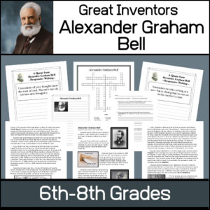
This resource will help students learn about Alexander Graham Bell, the man and his inventions. Unit includes…
- – Informational article on Bell’s life and inventions
- – Worksheets to assess understanding of material
- – List of Patents granted to Bell
- – 12 Notebooking / Report pages
- – Answer Keys
-
$1.50Add to Cart
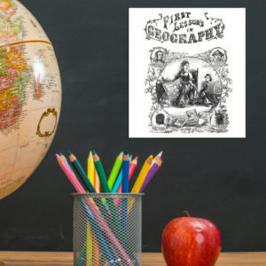
This is a downloadable copy of the book. (74 pages)
About the book: This book was written in 1856 is written in a question – answer format:
Q. What is Geography?
A. A description of the Earth’s surfact
Q. What is the Earth
A. The planet or body on which we live.
Q. What is a Continent?
A. The largest division of land.Because it was written in the mid 19th century, all of the maps are outdated…However, this can lend itself to great teaching lessons! Compare and contrast the old with the new. Research what events in history led up to the changes from then to now, etc.!


&url=https://myteachinglibrary.com/product/the-story-of-a-common-soldier-civil-war/&media=https://myteachinglibrary.com/wp-content/uploads/2019/08/wy-445-f-1024x961.jpg)


